Skip to content
The Cerulean Arc
Search
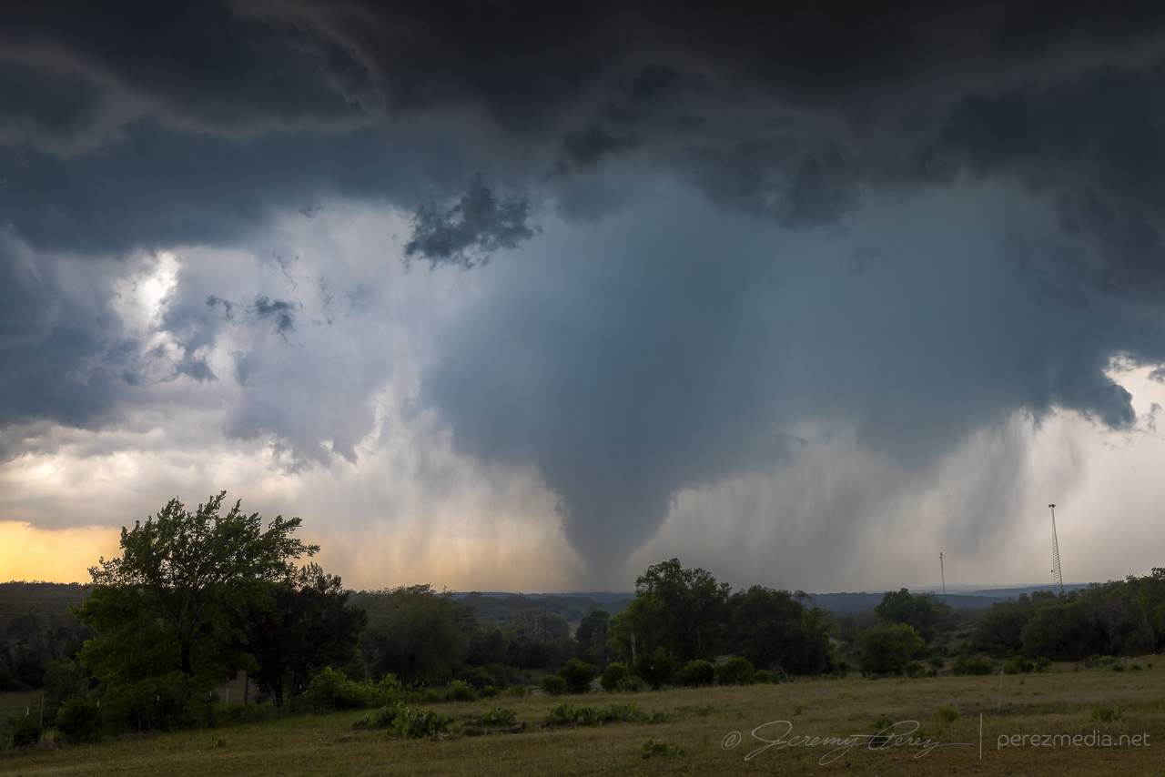
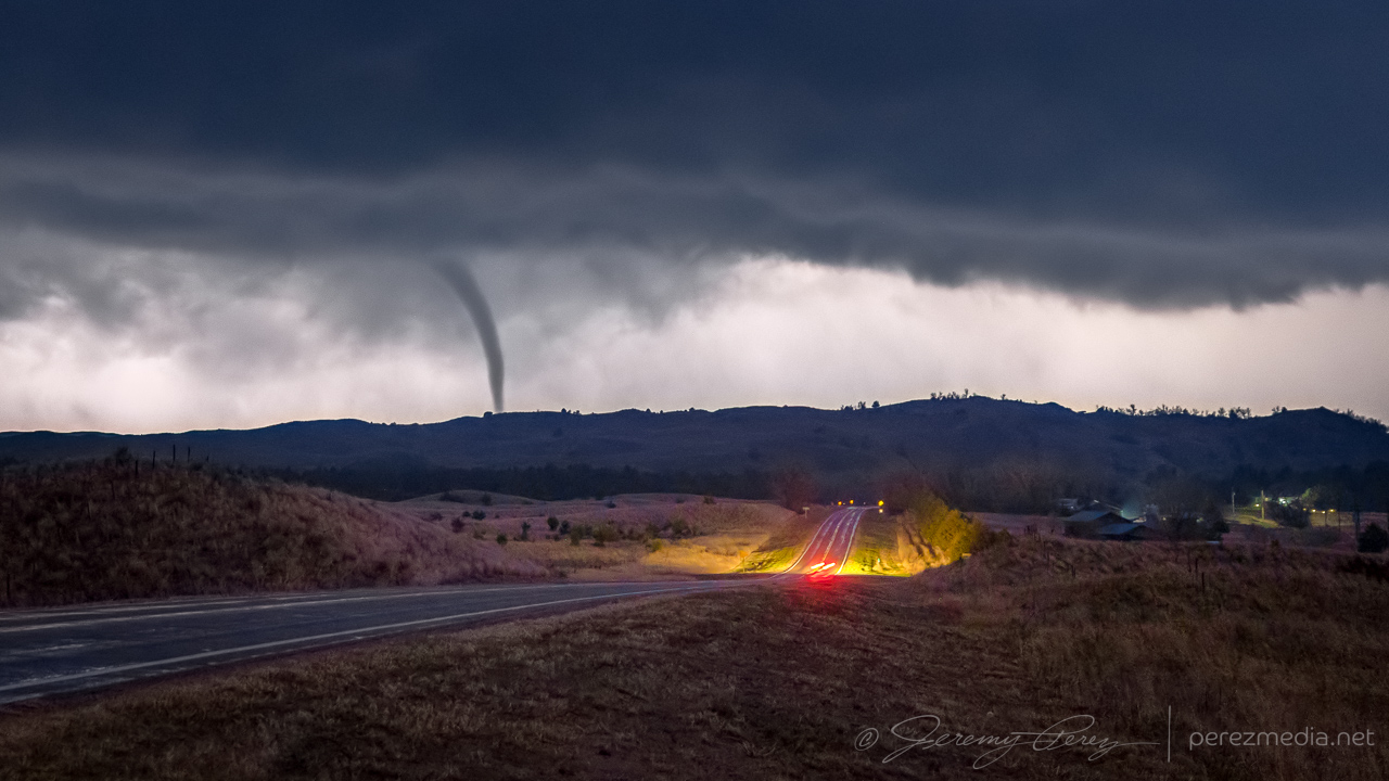
1 May 2025 | Briggs, Texas, USA | Tornadoes
May 1, 2025
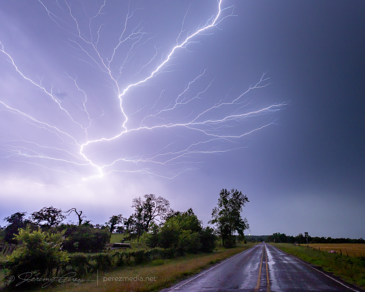
30 April 2025 | Buffalo, Texas, USA | Supercell & Lightning
April 30, 2025
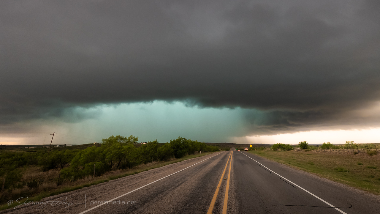
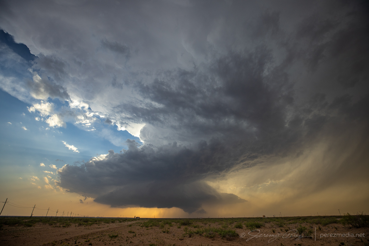
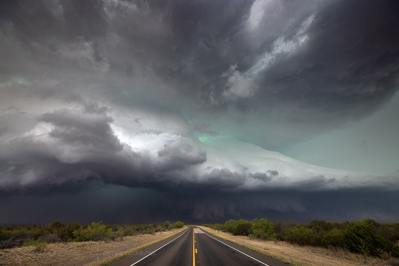
29 April 2025 | Northwest Texas, USA | Supercell
April 29, 2025
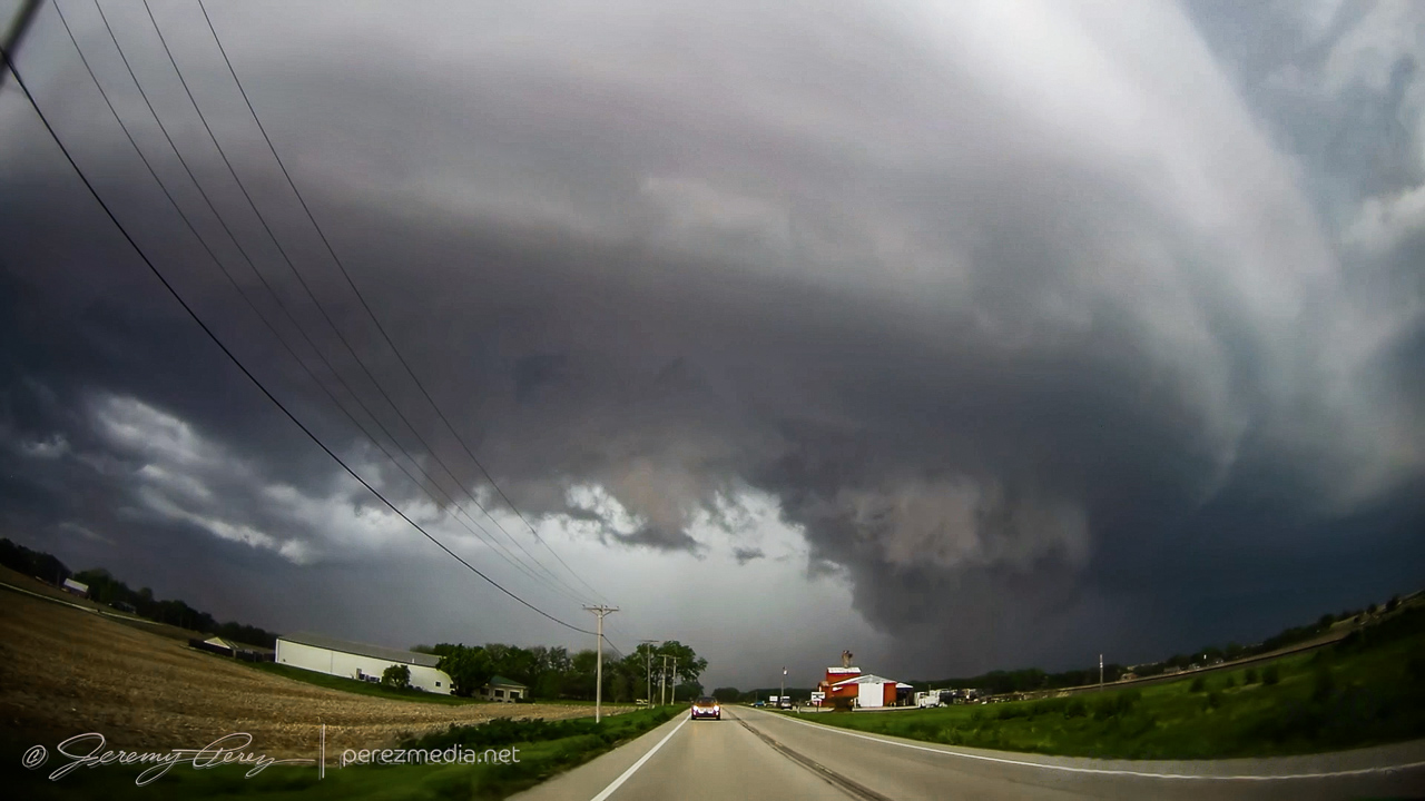
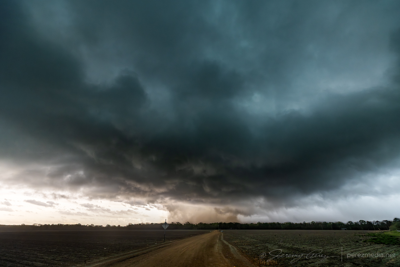
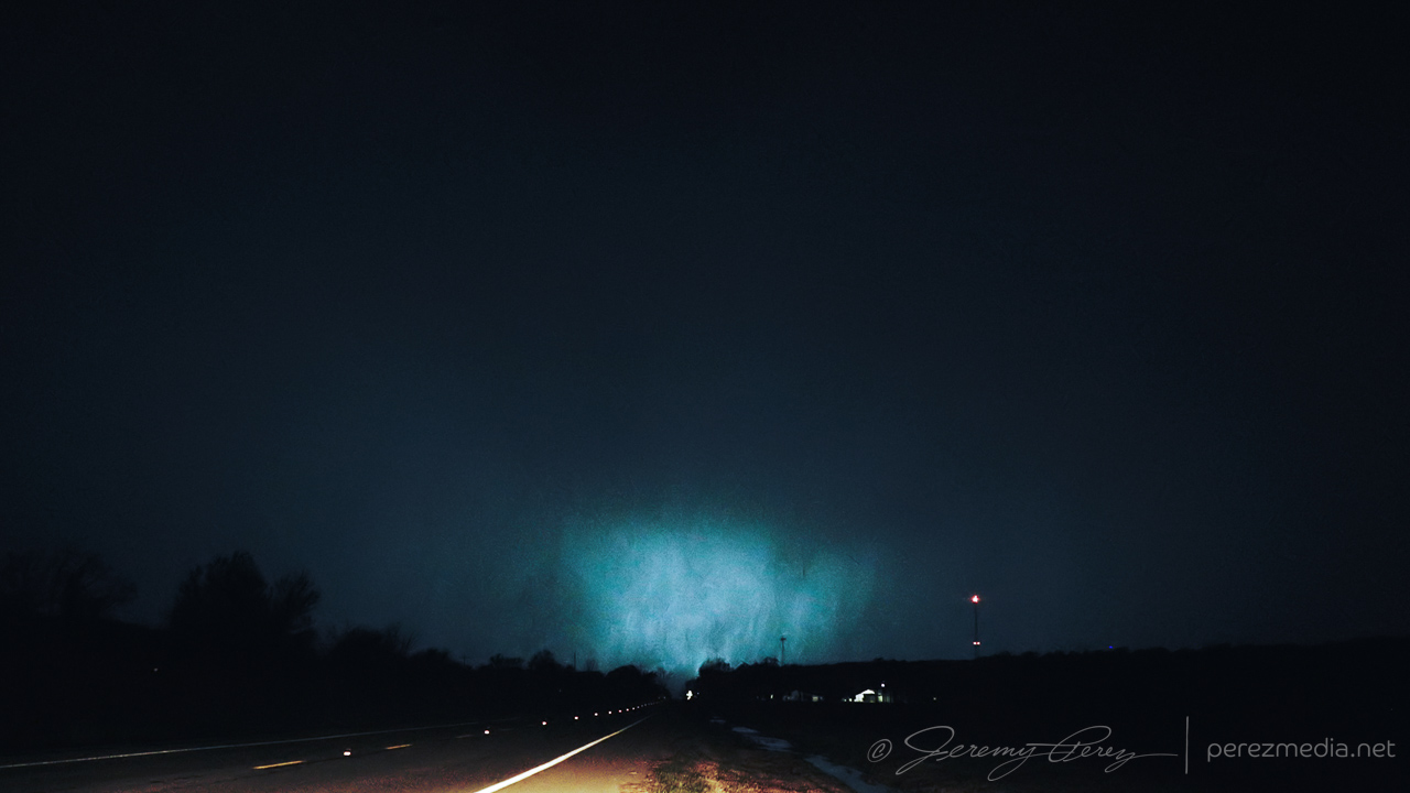
28 April 2025 | Belvue, Kansas, USA | Hybrid Tornado
April 28, 2025
27 April 2025 | Cherry County, Nebraska, USA | Tornadoes
April 27, 2025
26 April 2025 | Monahans, Texas, USA | Supercell
April 26, 2025
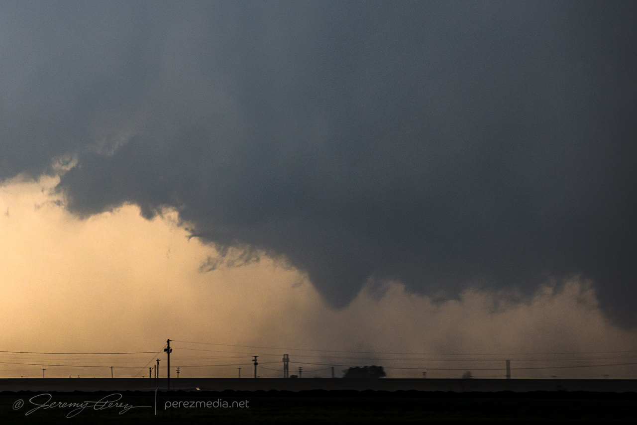
25 April 2025 — Sudan, Texas — Tornadoes
April 25, 2025
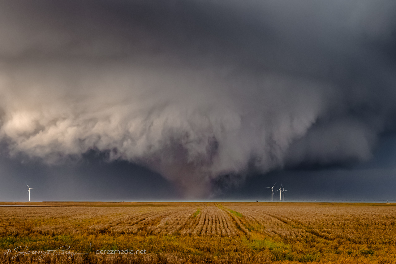
24 April 2025 | Matador, Texas | Tornadoes
April 24, 2025
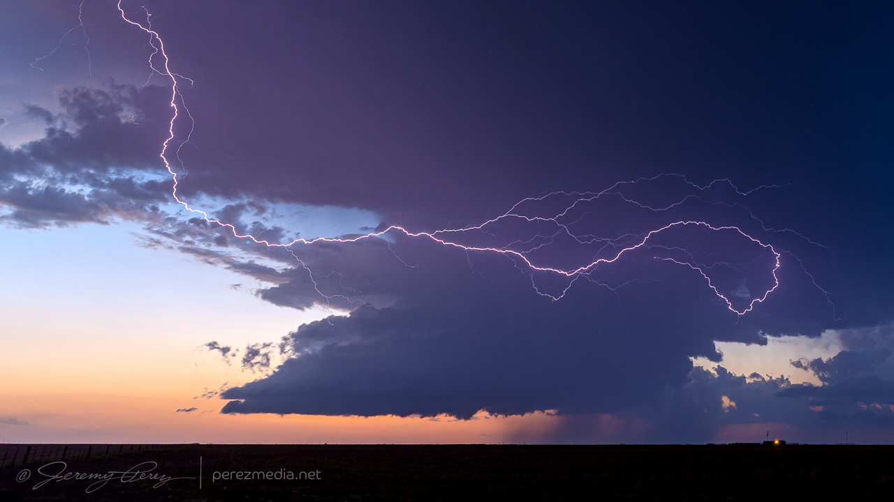
23 April 2025 | Oklahoma & Texas Panhandles | Structure & Lightning
April 23, 2025
22 April 2025 | Southwest Texas | Supercells
April 22, 2025
5 April 2025 | Schlater, Mississippi | Tornado
April 5, 2025
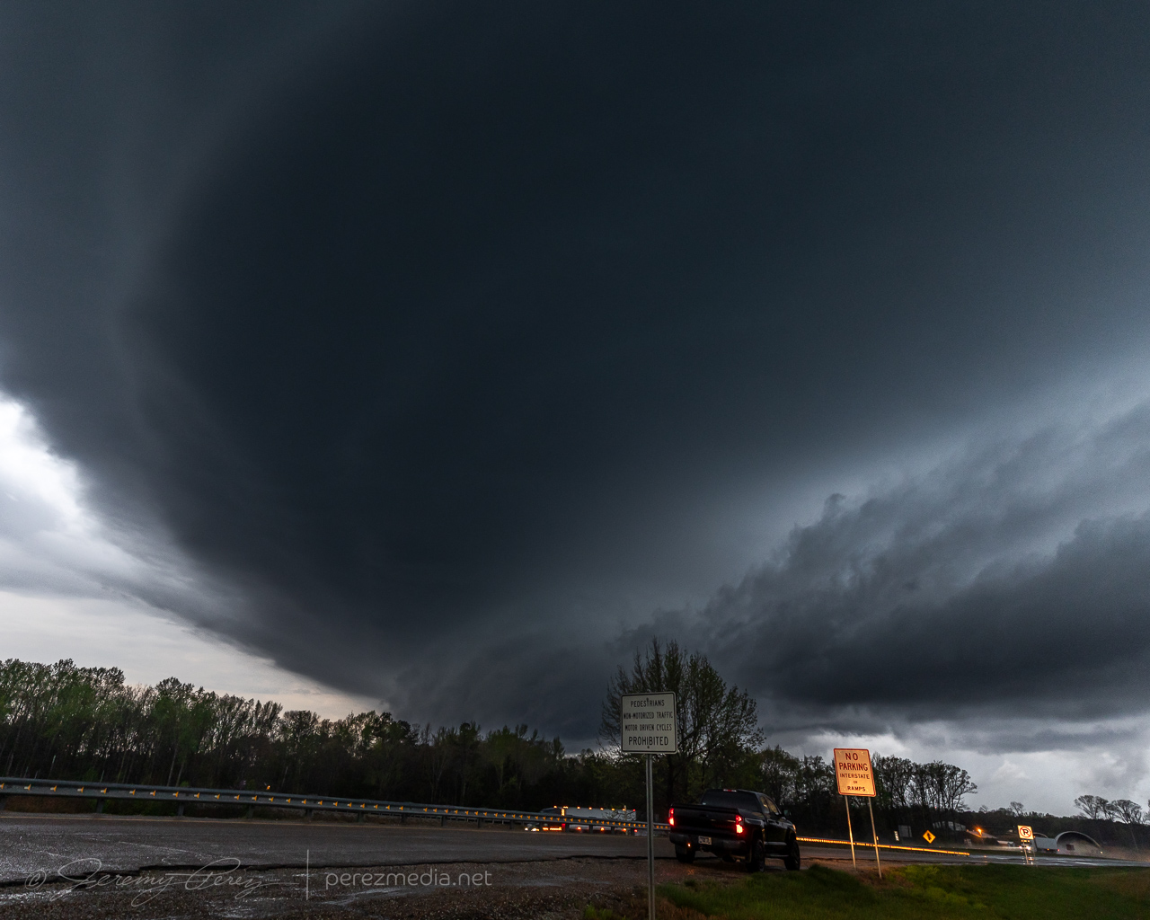
4-5 April 2025 | Arkansas | Tornadoes
April 4, 2025
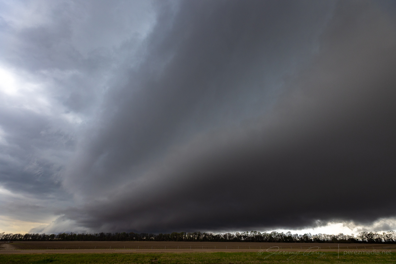
3 April 2025 | Arkansas | Shelf Cloud Bust
April 3, 2025
2 April 2025 | Tennessee | Supercells
April 2, 2025
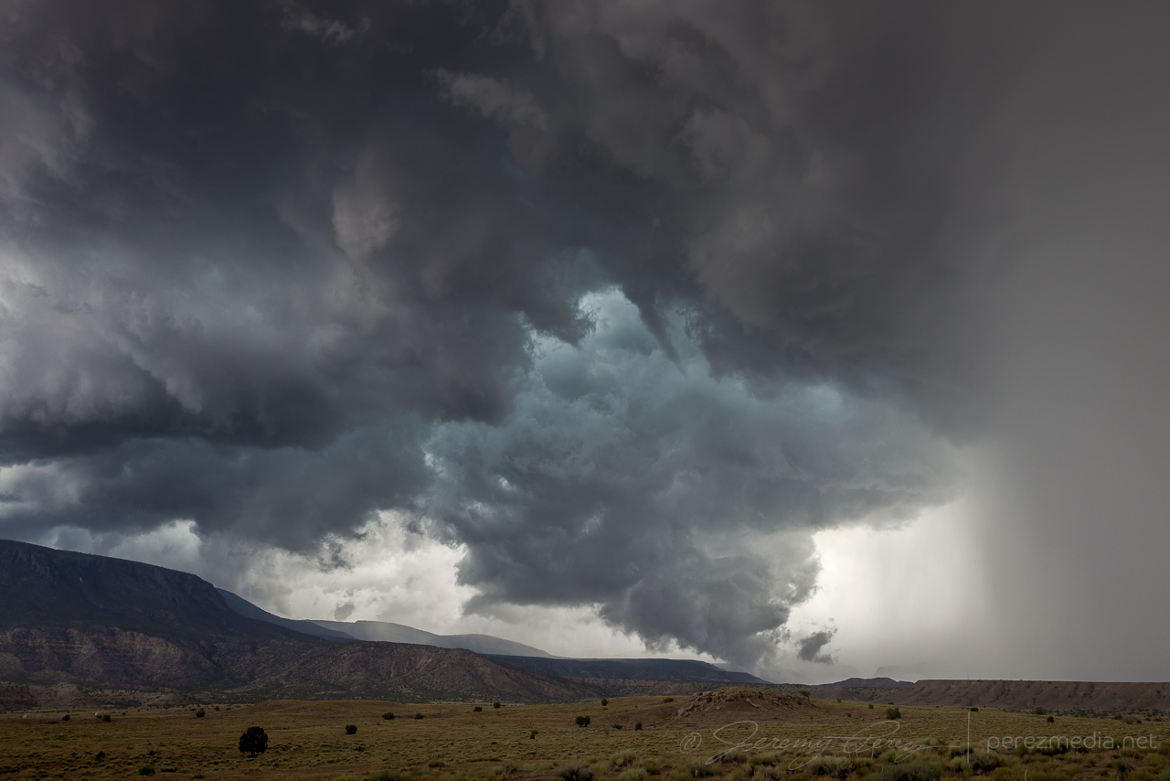
21 June 2024 | AZ/UT/NM/CO | Supercell & Funnels
June 21, 2024
1
2
3
4
5
…
10
Next Page
→