This day didn't promise to be much of a storm producer. Southwesterly flow aloft was weak--30-35 kts--over a solid cap. However, with instability from 1000-2000 j/kg, 35 kts of bulk shear, and low/mid level SRH around 100 m2/s2, the possibility of a photogenic storm going up had me ready to head out.
By midday, the HRRR model was forecasting convection breaking through the cap along the dryline in the Oklahoma panhandle. Satellite was showing a patchy cumulus field developing along the dryline in the panhandles. So Giselle and I headed out from Elk City to see if something would break through.
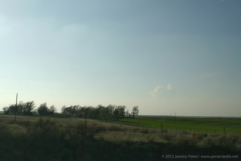
As we headed north on 283, we were introduced to the horrible Wireless data coverage of northwest Oklahoma. With no satellite updates to tell us how things were going along the dryline, we kept moving and hoping cloud tops would start to show above the haze. I'm used to the clear, dry air of Arizona where storm bases are visible from 50 or more miles away. So it's frustrating at first to see how quickly visibility drops off on the plains--of course, it's that hazy moisture that makes the storm environment so explosive here.
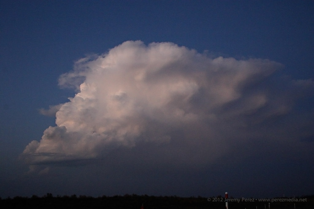
By the time we approached Shattuck, Oklahoma, we were seeing hints of the dryline cumulus to the west. Some of the cloud heads popping above the haze layer looked like they might be developing cu towers, but it was impossible to tell without seeing whether there was a rising tower beneath the bubbling fringe. After some more driving with that frustrating feeling that the cap might hold everything down, we finally saw some convincing development that egged us onward.
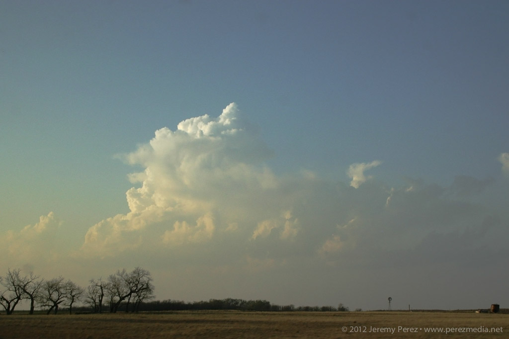
Growing cumulus tower in the north Texas panhandle
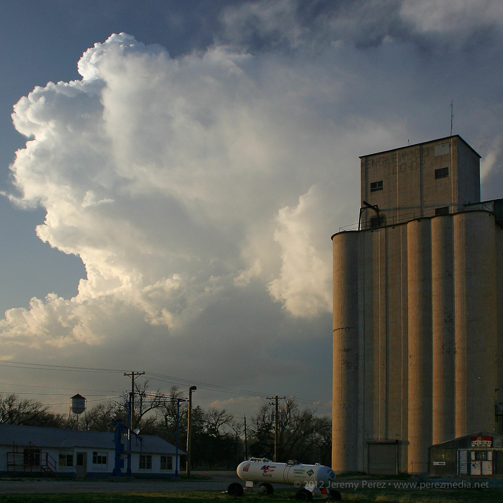
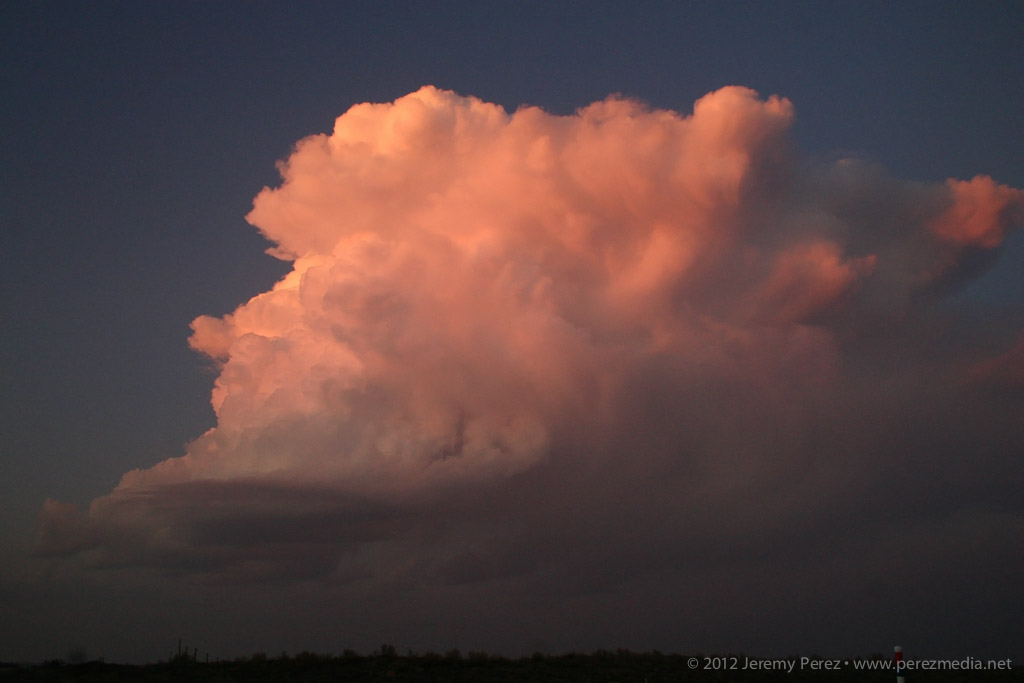
While the initial tower collapsed, another congested batch further north on the Kansas-Oklahoma border was holding together.
Congested cumulus near the Kansas-Oklahoma border
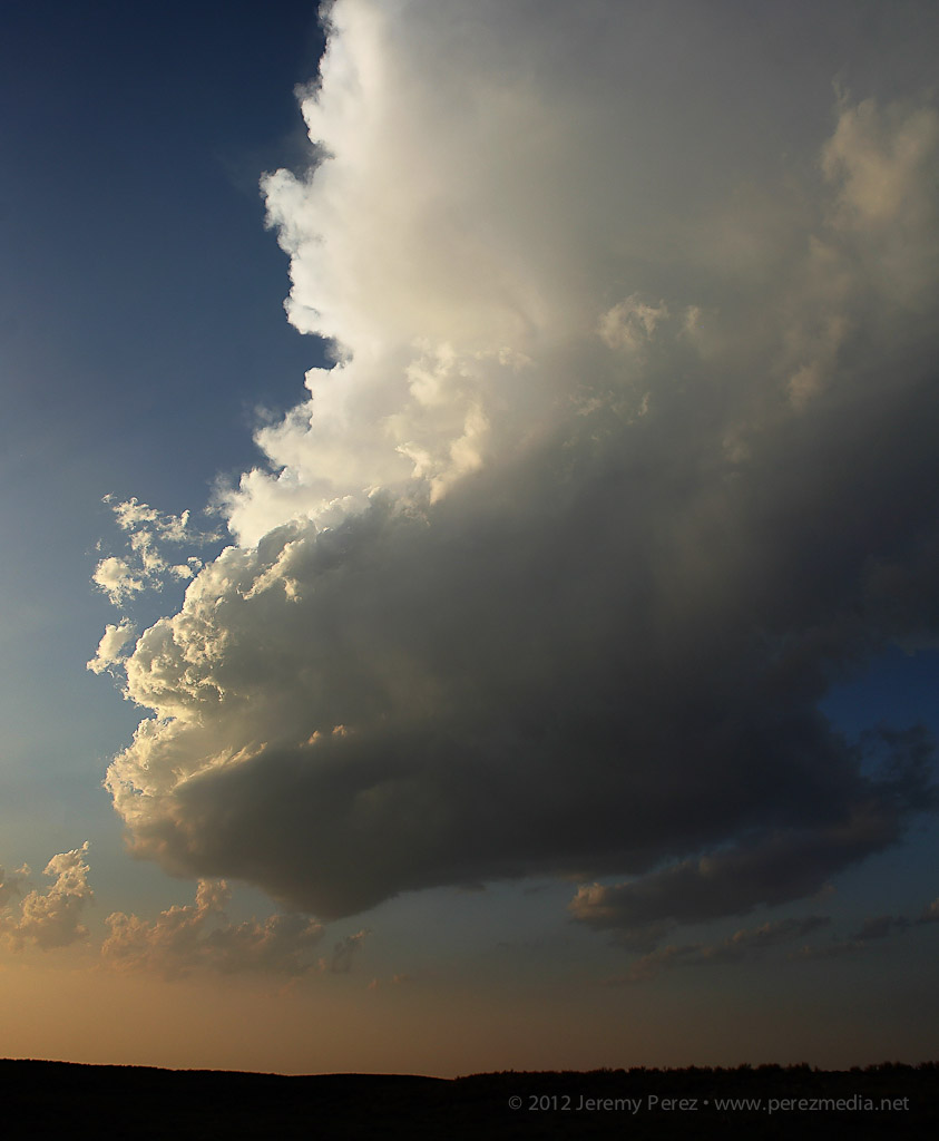
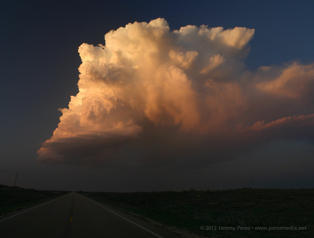
We headed for that developing storm, and by the time we reached Englewood, Kansas, it had developed an anvil and was putting on a beautiful display northwest of town.
Developing cell northwest of Englewood, Kansas
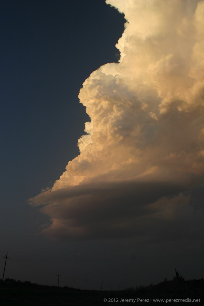
As expected, the cell remained elevated for the two hours that we followed it, but the updraft displayed broad rotation and barber pole structure with some limited lightning. Colored by the setting sun, this isolated, mini-LP cell was a beautiful sight as it glided away over the lonely Kansas landscape.
Mini LP Supercell drifts from Englewood to Ashland, Kansas
20X Time Lapse Video of the Storm
