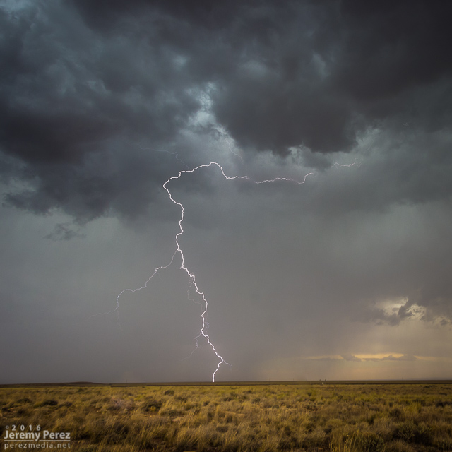
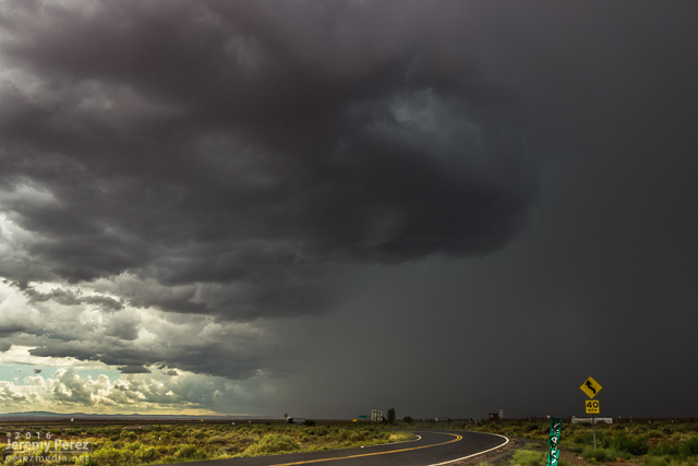
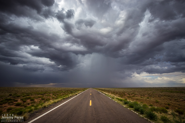
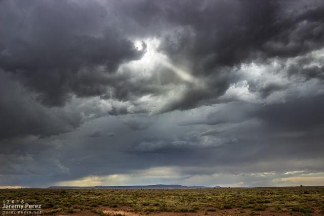
Recently in Lightning Category

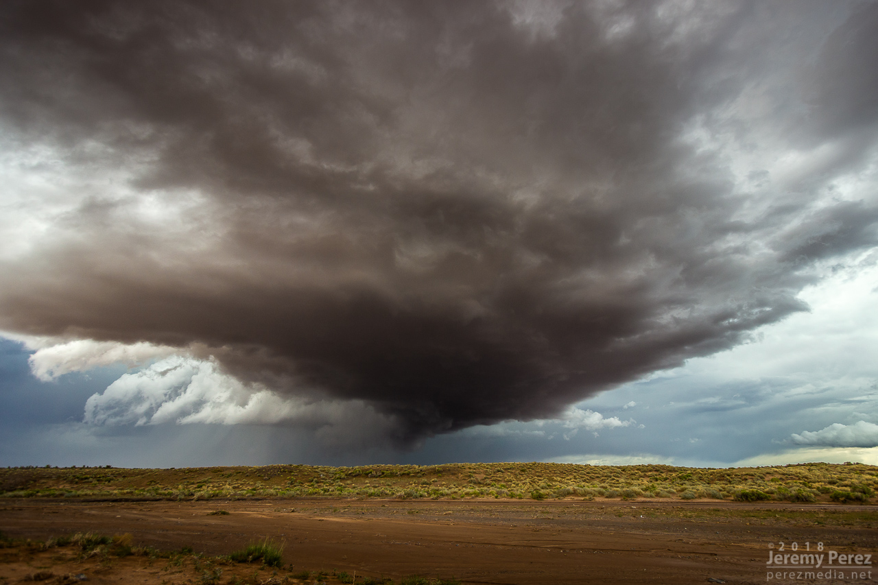
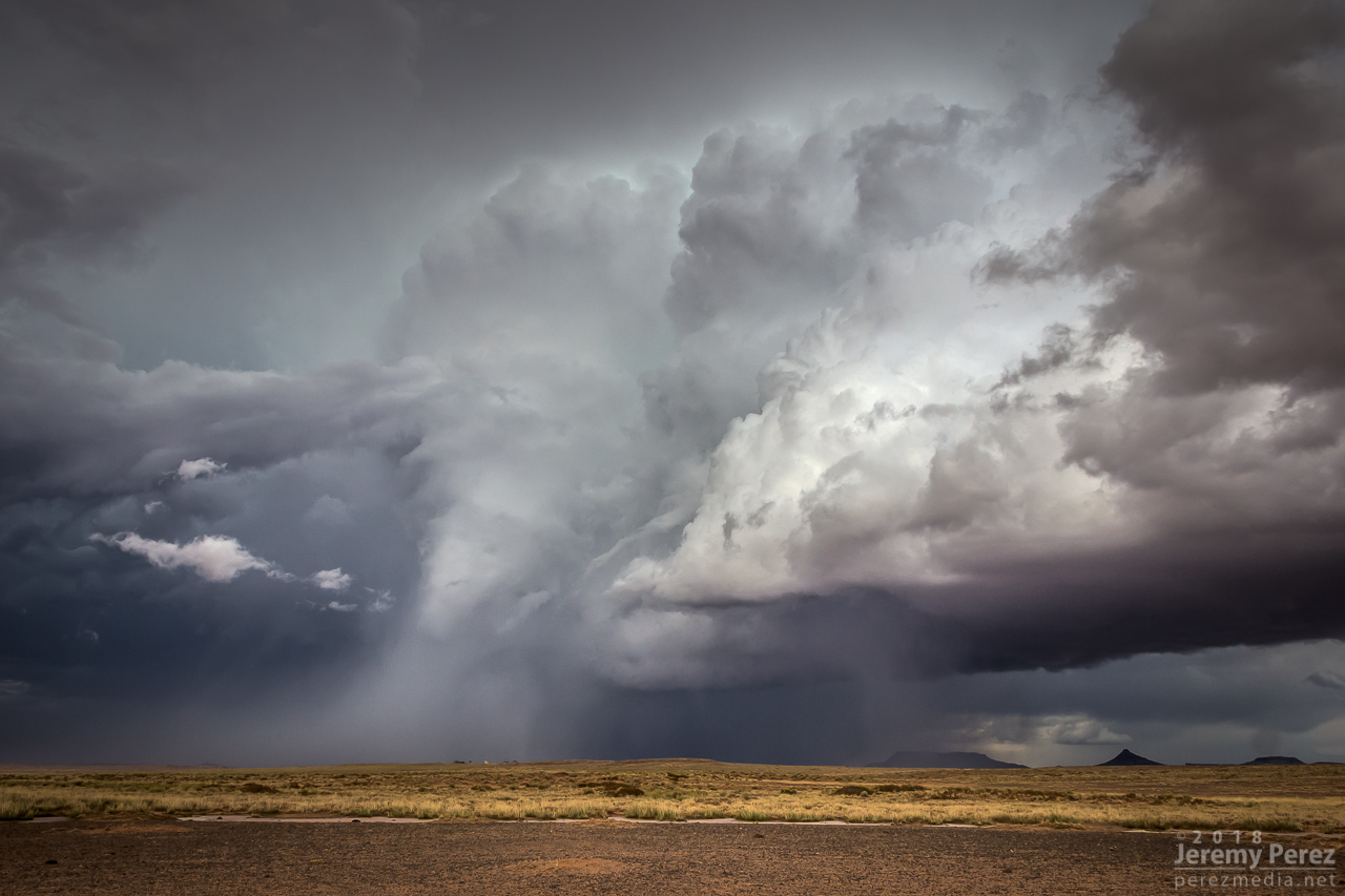
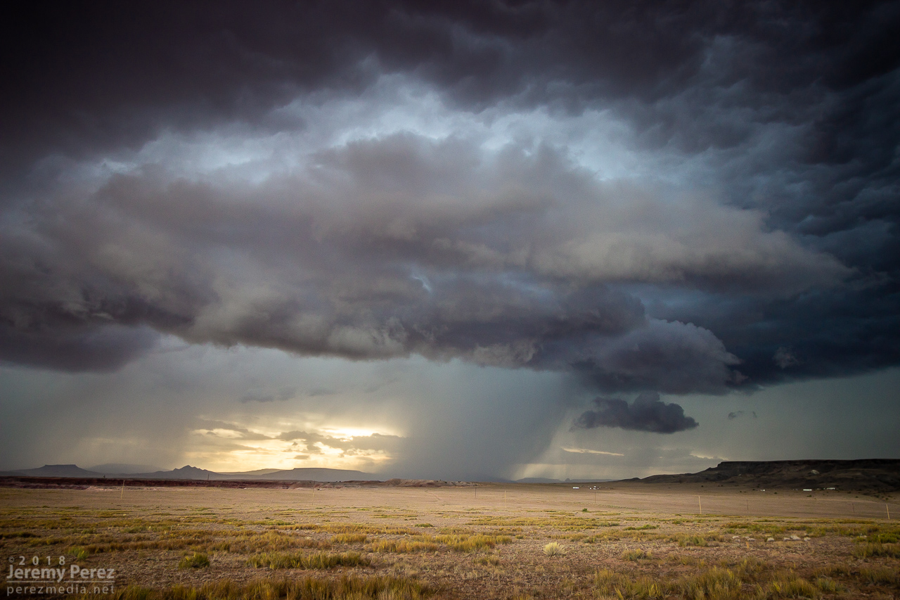
Arizona is not prime territory for supercells. Moisture, instability, and shear don’t superimpose often. The tail end of monsoon season is when that exciting combo is most likely to happen. And it set up perfectly this year on September first. This wound up being my best storm chase in Arizona yet, and rises above a lot of Plains chases.

A few days before, GFS was sparking my interest, hinting at a shortwave moving over monsoon moisture. By two days prior, 3KM NAM was indicating enough instability, bulk, and directional shear for supercells with tornadoes as a potential hazard. The day before, John Sirlin and I discussed target options. The MRCZ area on the Navajo reservation looked good early on, with options gradually moving southeastward toward New Mexico later in the day. John wound up driving north overnight to avoid Labor Day traffic and was in the Winslow area to catch an early morning shelf cloud over the Painted Desert.

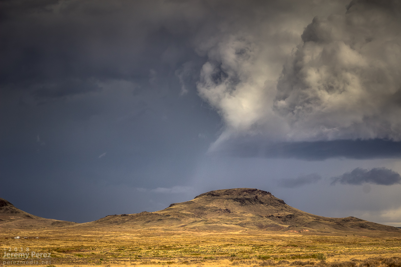
I finally got moving and was hanging out on Sand Springs Road northwest of Tolani Lake by 1830Z. The sky was clearing after the morning storms and new convection was bubbling along Hwy 89 north of Flagstaff and gradually moving into the Little Colorado River Valley. The new cells struggled for a while, but even in their meager state showed they wanted to shear downstream and spin.

— 1910Z —
Convection building over the San Francisco Peaks

— 1941Z —
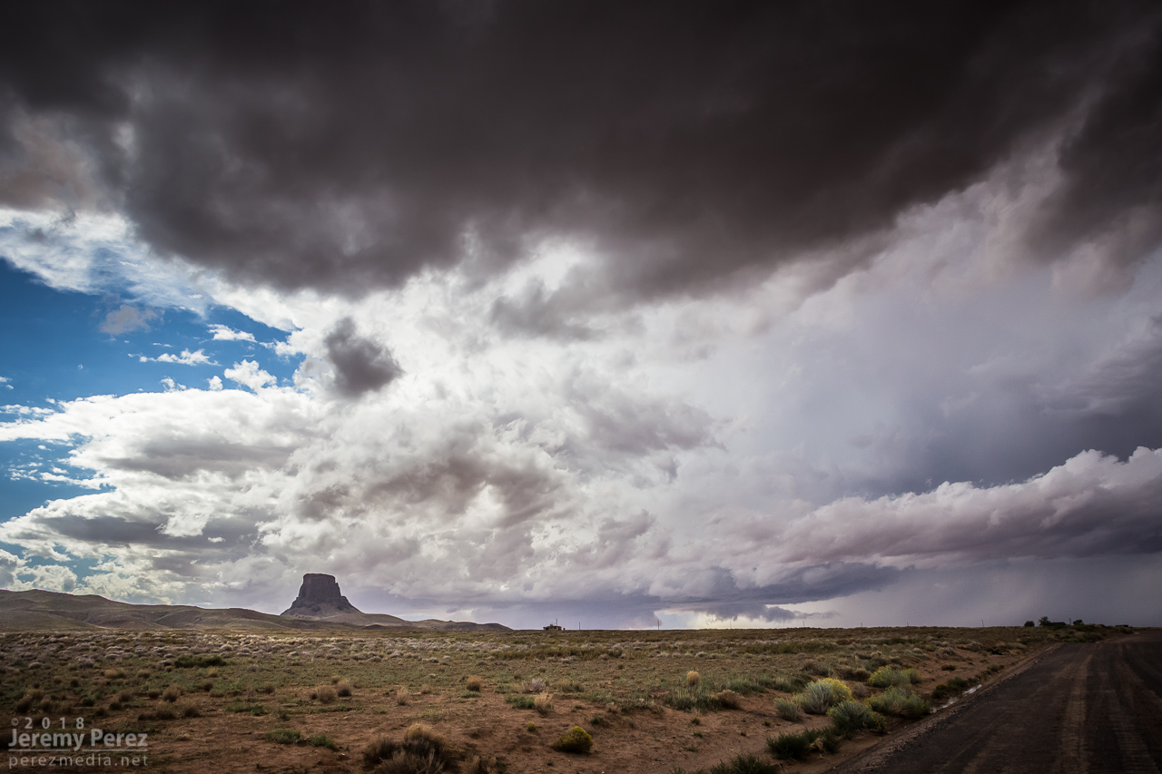
Weak convection drifting over Sand Springs Road

— 1957Z —

— 2016Z —
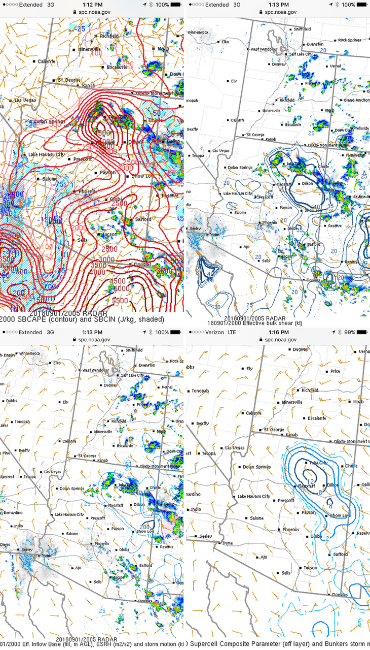
Mesoanalysis indicating conditions were primed for strong storms

By 21Z, a line of convection from Tovar to Garces Mesas was strengthening rapidly. And doing so further east than I was expecting. I raced to Tolani Lake and headed east on Indian Route 6820—a road I haven’t traversed before. It led me across dusty plains, mud pits, semi-dry washes, and encroaching dune fields as storms darkened to the north.

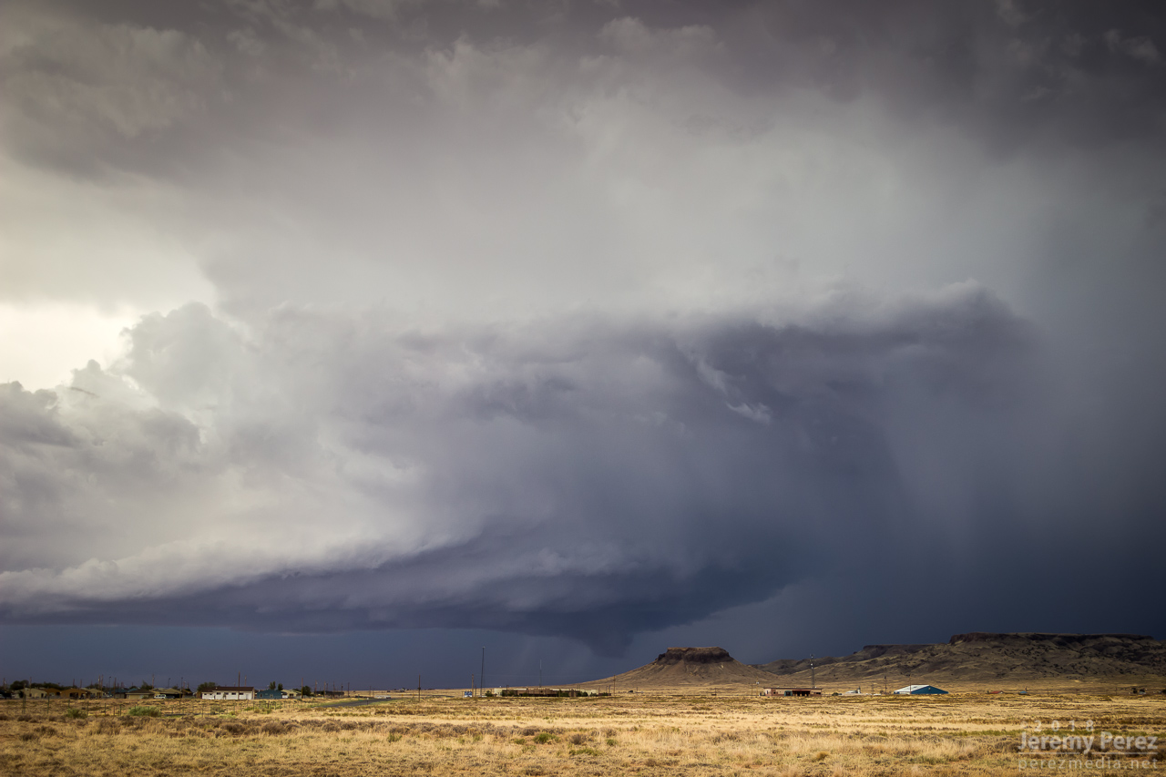
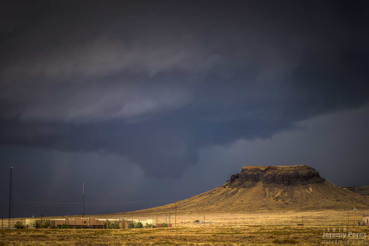
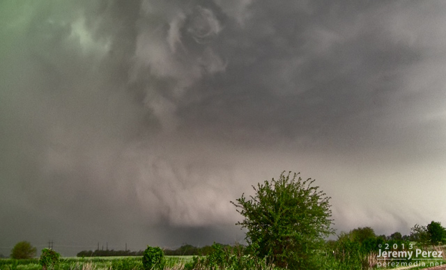
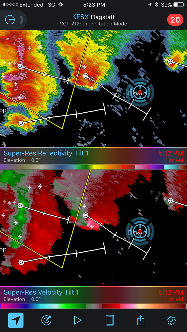
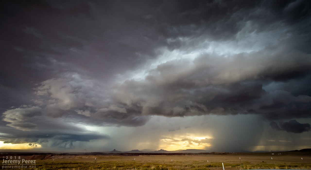
By 2130Z, I was about 10 miles east of Tolani Lake and the lead cell was directly north of me. It had an inflow tail, RFD cut and was showing a velocity couplet on radar. Fifteen minutes later, a wall cloud was evident, but contrast was poor and I couldn’t tell what it was doing. Dust was getting dragged into the storm, encouraging me to find spots to stop that weren’t obscured by trains of cascading dirt.

— 2113Z —
Heading down Rt6820 as the eastern cell rapidly strengthens

— 2134Z —
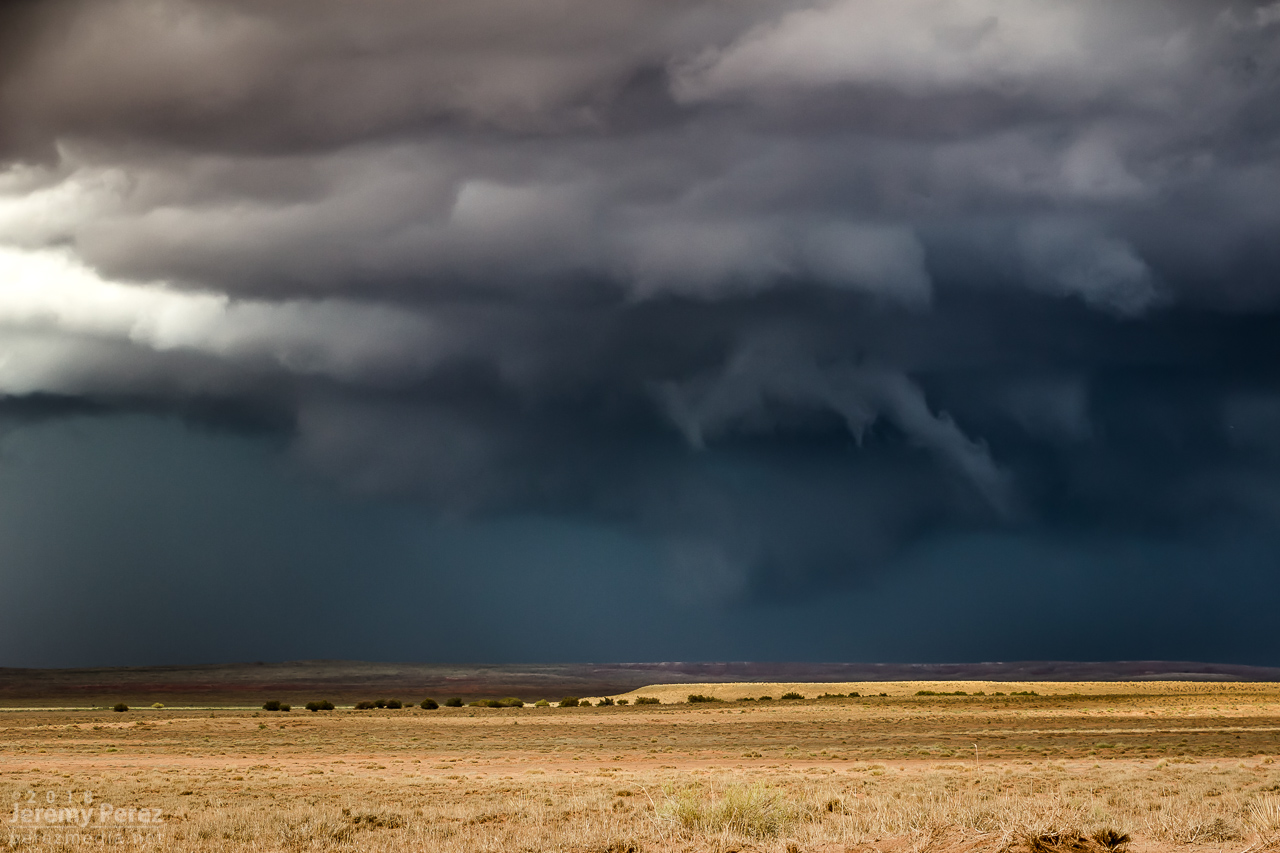
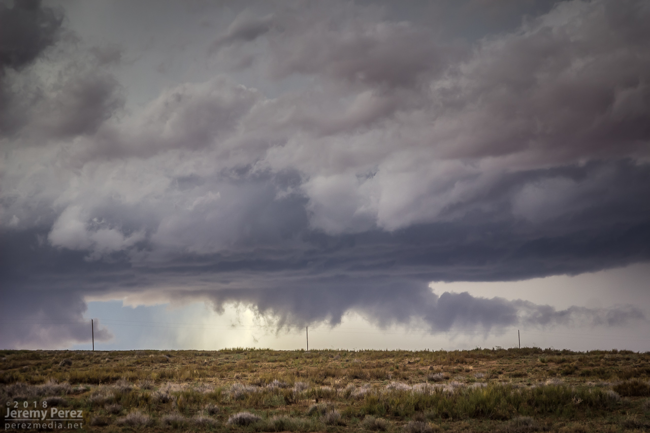
Structure taking shape on the lead cell, looking north from ten miles east of Tolani Lake

— 2145Z —
Wall cloud taking shape

— 2147Z —
Dusty inflow was an ongoing problem for visibility

— 2129Z —
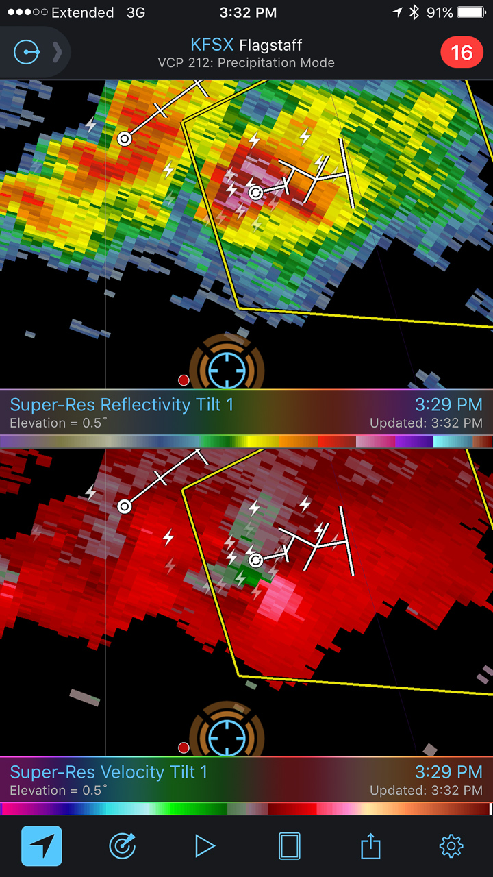
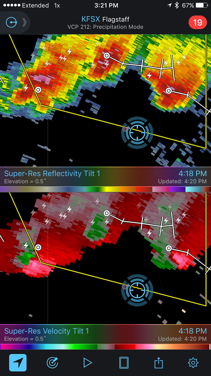
Velocity couplet developing on the lead cell

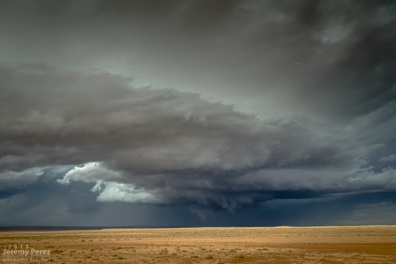
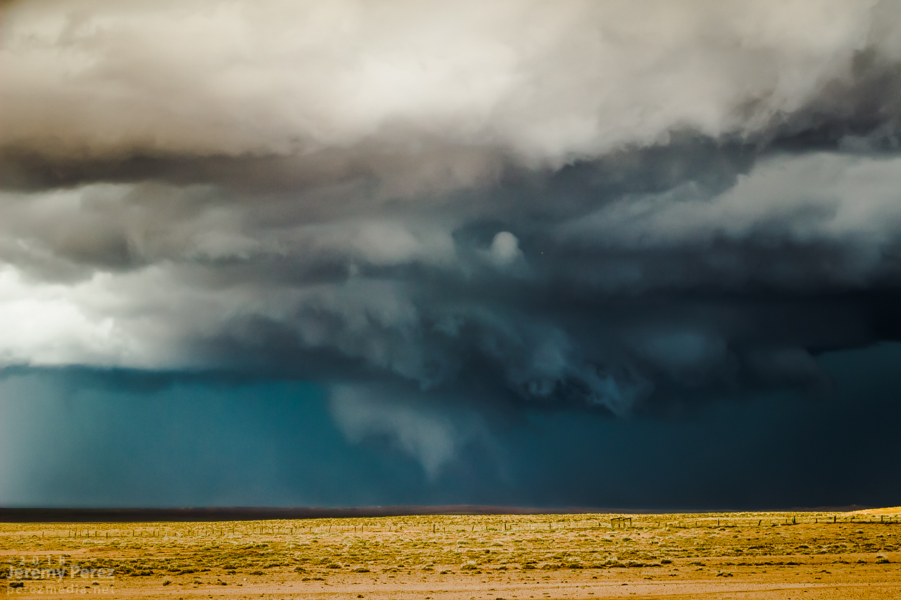
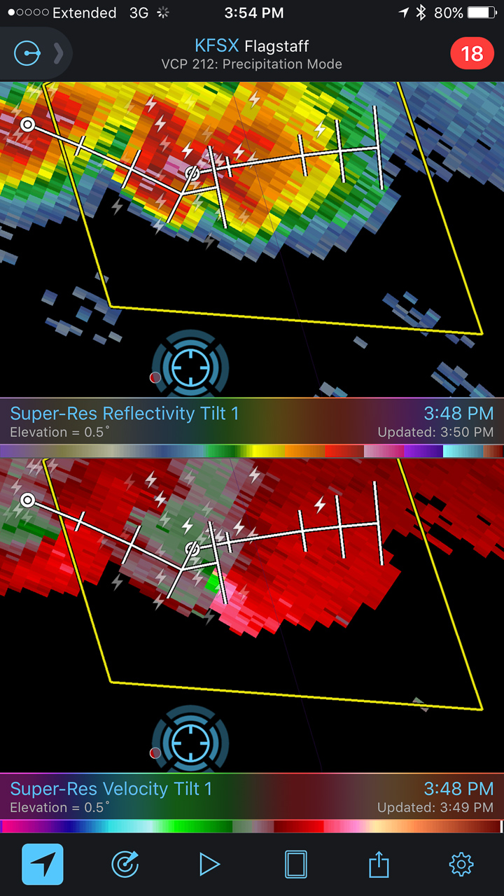
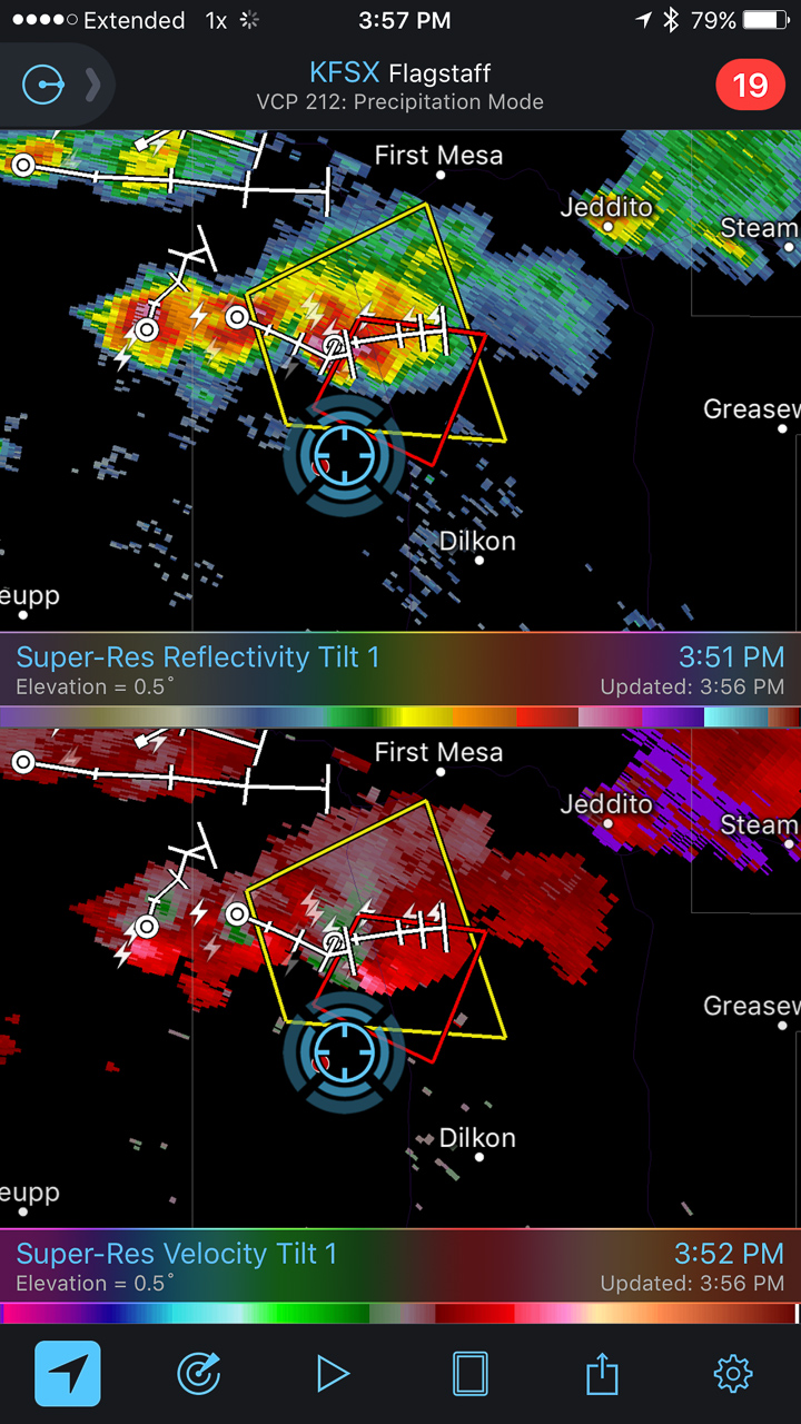
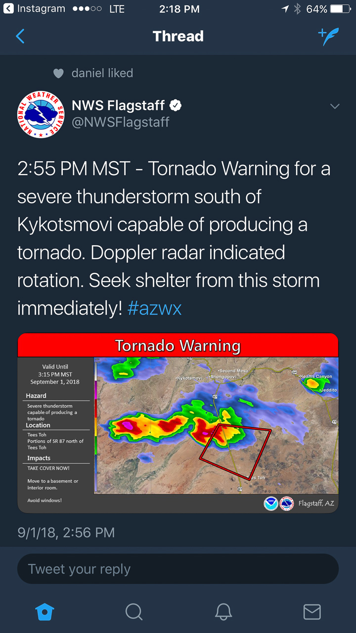
At 2147, the wall cloud got fairly pointy, but I was still too far out and squinting through a bright sunlight to tell what was going on. The velocity couplet intensified at this point and the storm received a tornado warning a few minutes later. I just kept shooting photos and video in hopes of enhancing contrast later to see what was back in there. I wish I could have tightened zoom on video, but sun was too bright to finesse using the LCD viewer, so I had to keep it wide. That’s happened to me before. I need to work out a solution for that.

— 2148Z —
Wide view of the storm

— 2148Z —
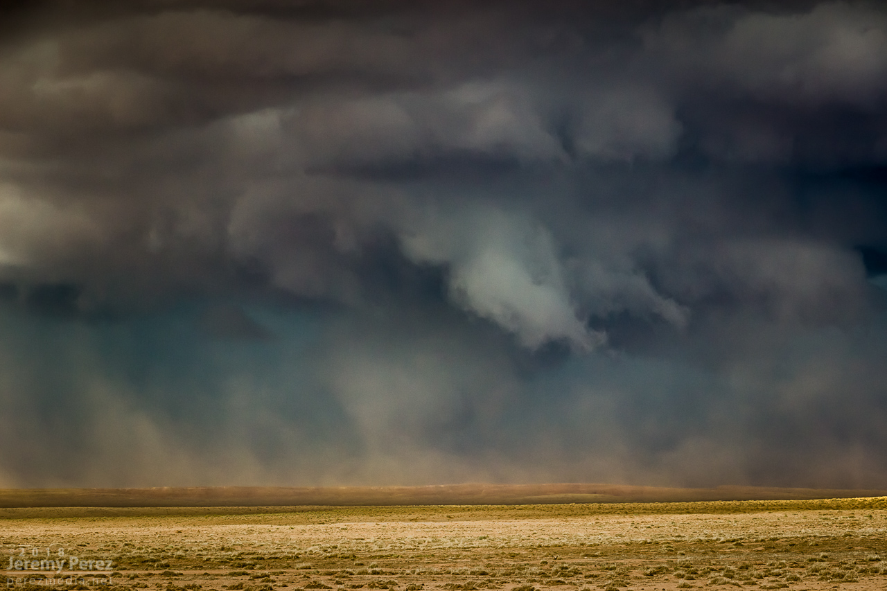
Close view of the wall cloud

— 2148-2152Z —
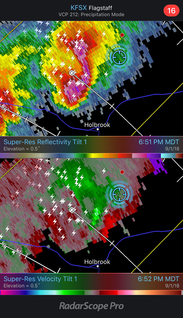
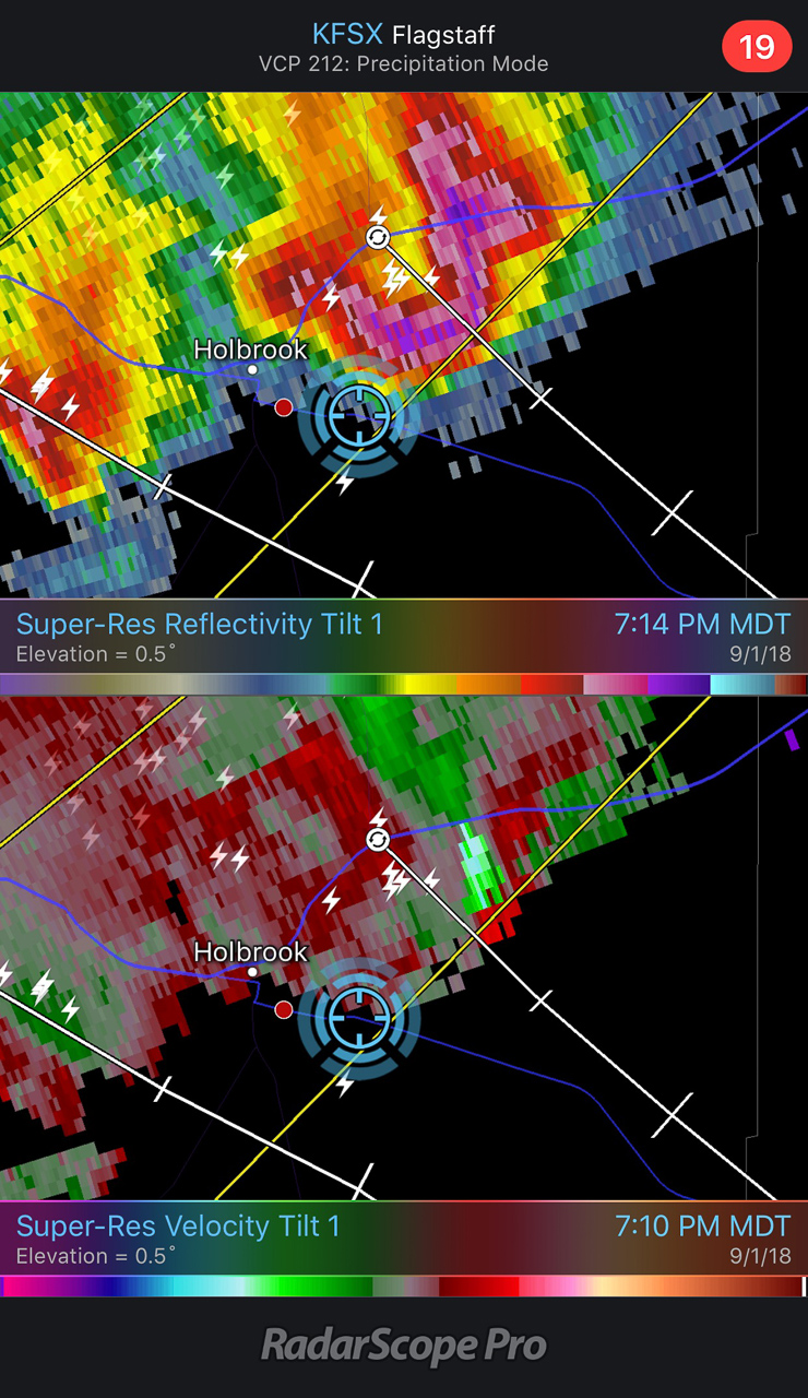
Reflectivity/Velocity Scans with the storm at its peak

— 2155Z —
Tornado warning issued by NWS Flagstaff office

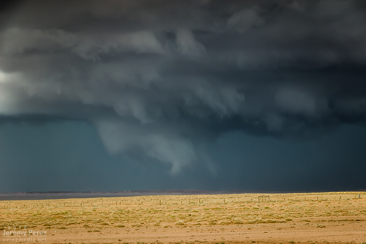
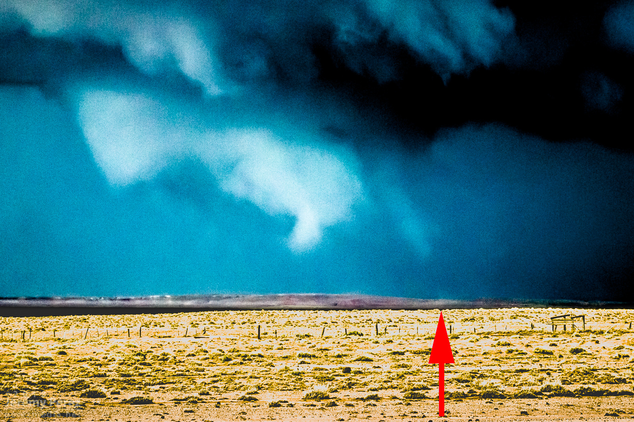
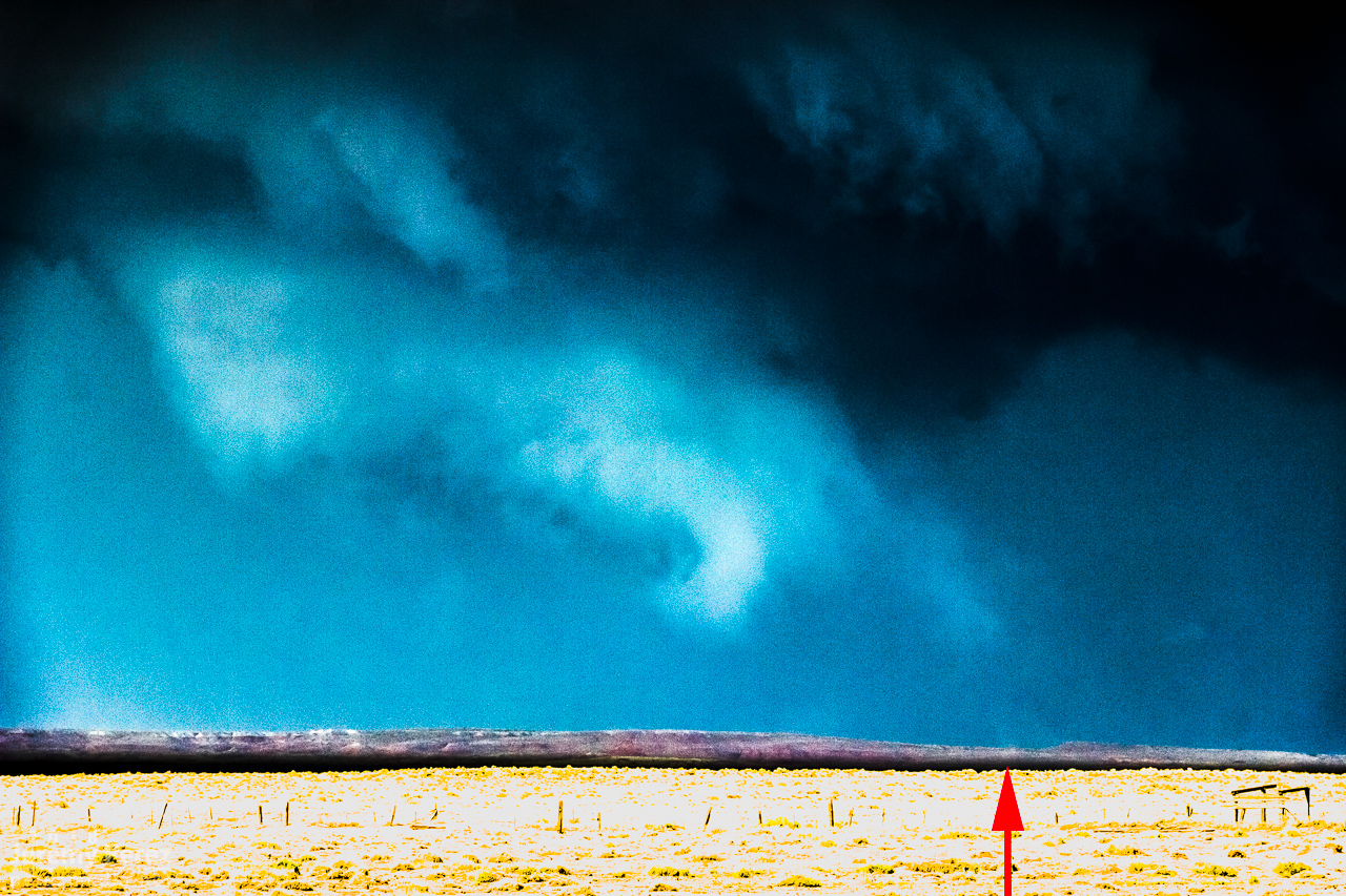
Pulling detail out of the shots and video later clearly showed rotation in the wall cloud. From 2147-2148Z, shots picked up a funnel rotating with the wall cloud. A couple zoomed images show what could be debris beneath the funnel at ground level. Right after this, the entire scene flooded with inflow dust and I had to move on.

— 2148Z —
Zoomed view of wall cloud and funnel

— 2148Z —
Contrast enhanced to show dust at surface

— 2148Z —
Contrast enhanced 7 seconds later

— 2147-2148Z —
Accelerated footage of rotating wall cloud 2147-2148Z

Meanwhile, over the last hour, John was right up under the storms, picking up at least one convincing tornado (to my eyes) at 2123Z, followed by other shots that I can’t wait to check out.

The RFD cut on the storm grew and continued to look promising, but I got detoured by a washed out section of road near Honey Spring and lost track of things making my way back to a different road. By 2213Z, the circulation had fully occluded and looked like a huge ice cream cone as a burst of hail and a high-based, roping funnel draped around it.

— 2152Z —

— 2205Z —
RFD cut from a muddy wash near Honey Spring that was too risky to cross

— 2214Z —
Occluded updraft and elevated funnel

The entire time this cell was being awesome, two other trailing cells were also spinning away. The middle one wasn’t faring too well and seemed to be riding elevated behind the lead cell’s outflow. I figured the third in line would be dealing with the same thing. However, it managed to hop south far enough to get surface based. So, eight minutes after the great ice cream cone view, I glanced over my shoulder and saw an awesome cow catcher RFD shelf scooping out of its base. Over the course of about five minutes, it picked up a shaggy wall cloud/tail cloud combo.

— 2221Z —
RFD shelf/rooting base beginning to develop on the trailing storm

— 2223Z —

— 2229Z —
Wall cloud/tail cloud developing

— 2218Z —
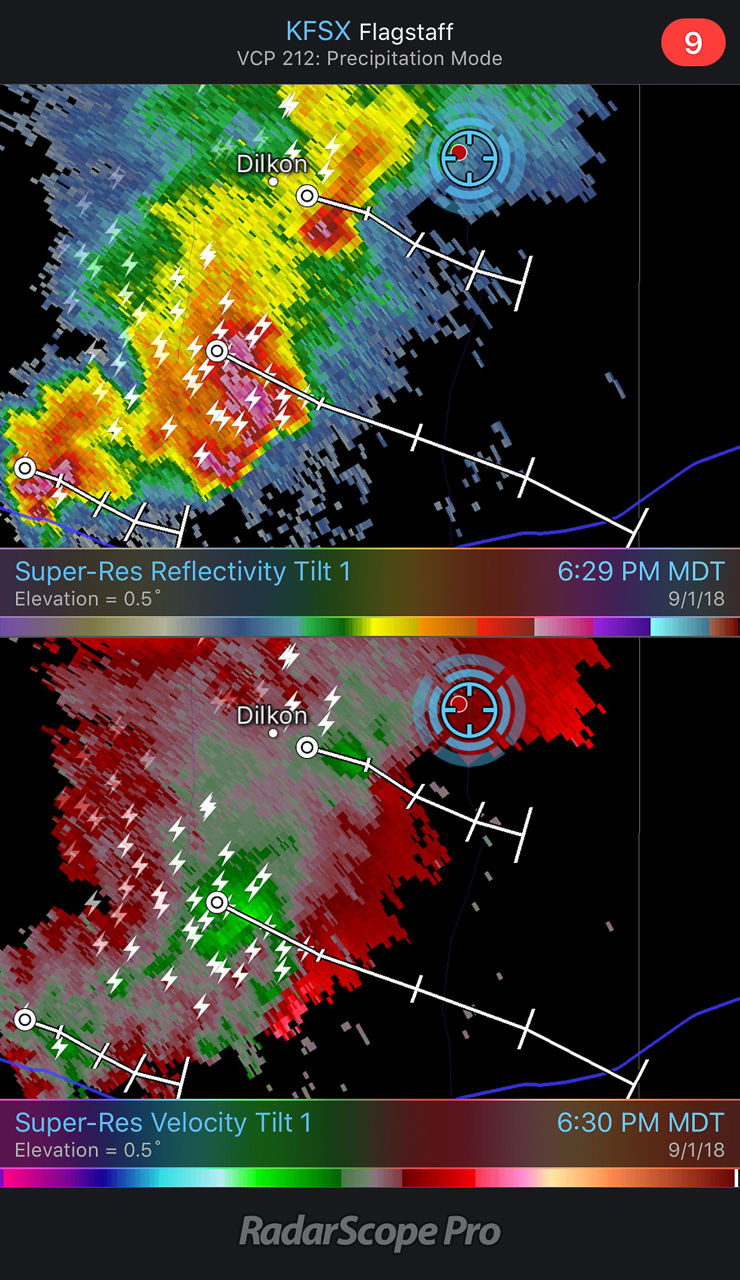
Reflectivity/velocity of lead and trailing cell along with struggling middle cell

It’s both an awesome and frustrating problem to have two beautiful cells competing for attention with spectacular volcanic plugs taking turns hiding them with each turn in the road. The lead cell was moving into lower instability and weakening, but still looked awesome and I didn’t want to lose it. So I kept after it, figuring the trailing cell was headed my way anyway. I just needed to get to a spot where the terrain would let me see them both.

— 2229Z —
Trailing cell vs. encroaching terrain

— 2244Z —
Lead cell vs. encroaching terrain

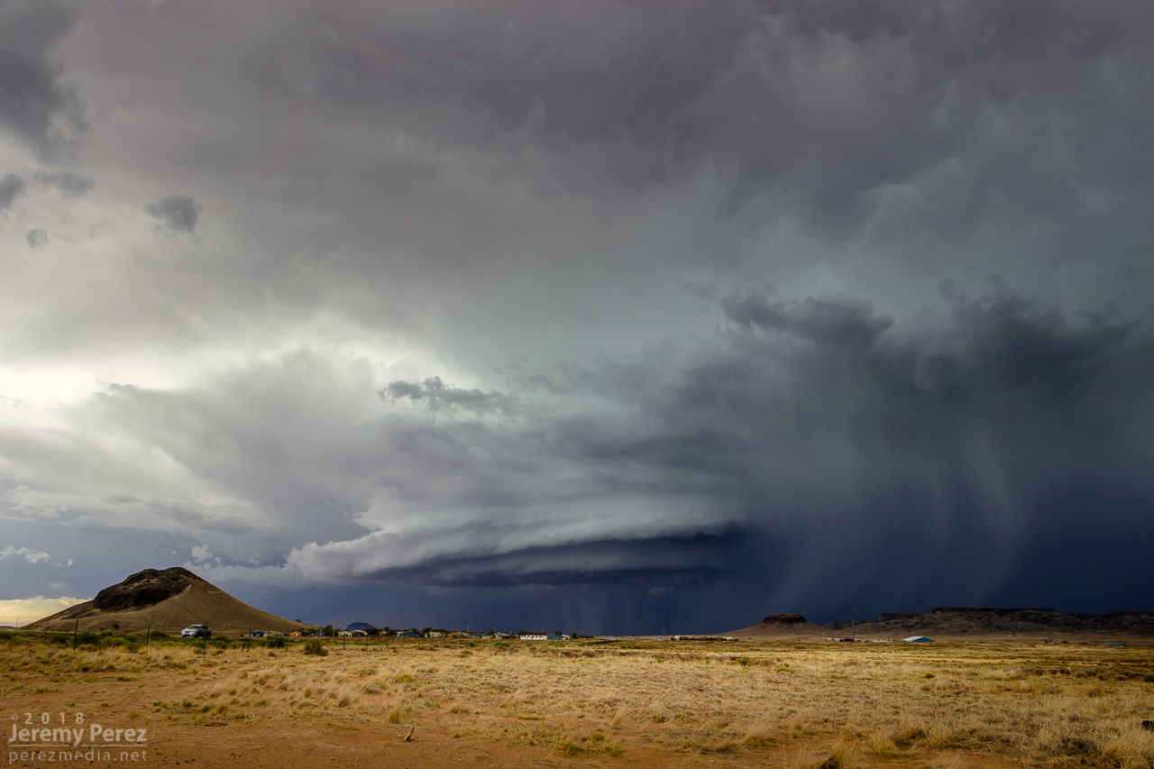
I finally found that spot just east of Dilkon. The lead cell was losing its battle to remain surface based. But before it went fully elevated, it wrapped up one last occlusion. Not as beefy as the previous one, but still lancing out with one last funnel.

— 2249Z —

— 2310Z —

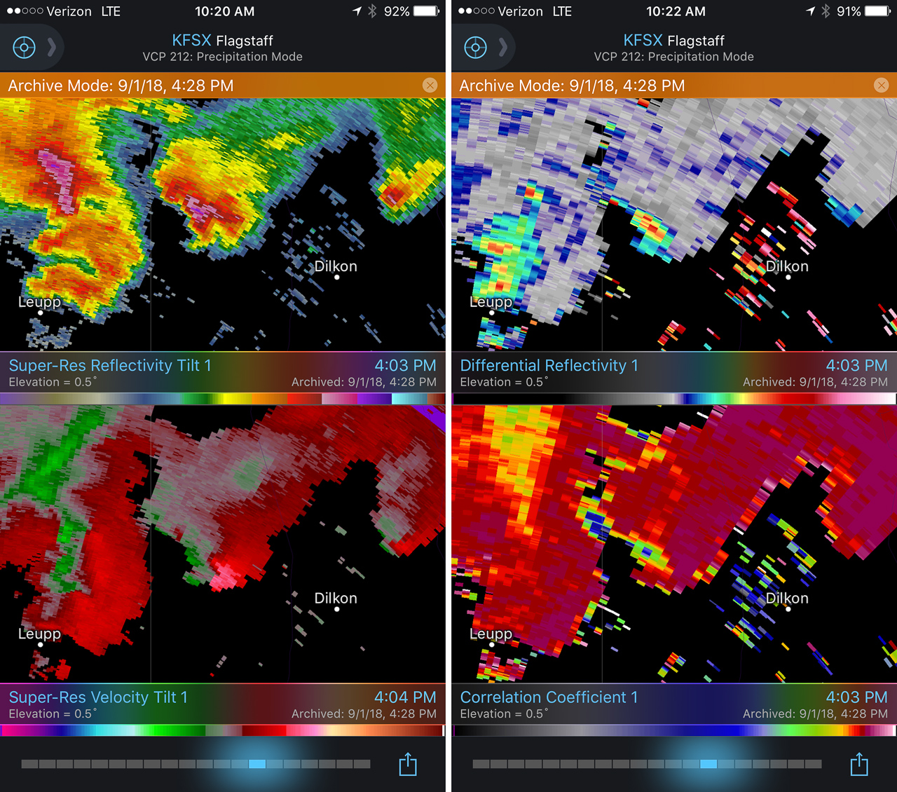
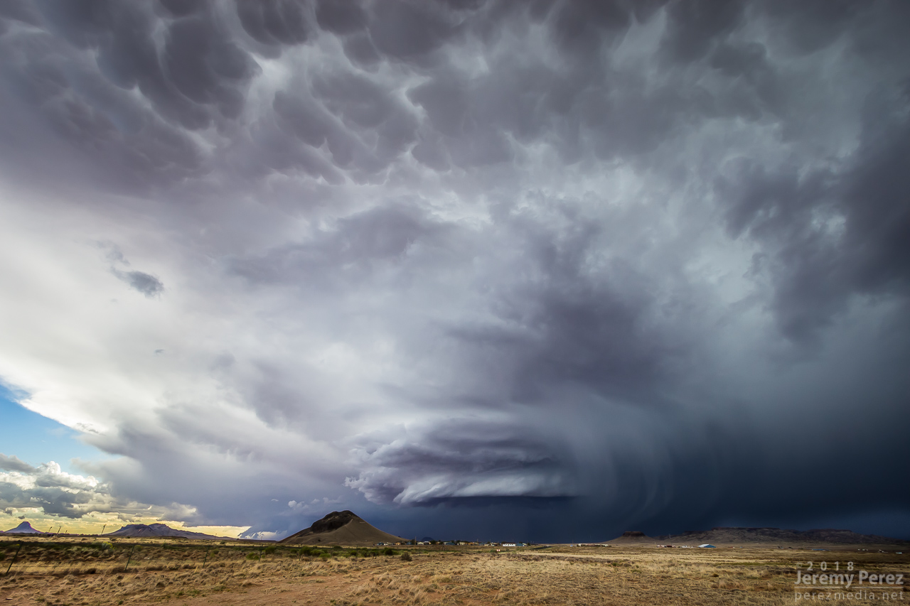
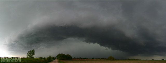
Meanwhile to the west, the trailing cell was getting a classic, sculpted look. At 2307, I realized a knobby wall cloud was dipping down out of its base. It was tough trading focus between the two storms, and wish I had been shooting the trailing one just a few minutes sooner, since reviewing radar later showed a low CC value under that circulation at 2304Z. Would love to have a few zoomed shots at that point.

— 2308Z —
Trailing cell and wall cloud

— 2308Z —
Tight view of wall could

— 2303Z —
Reflectivity, Velocity, Differential Reflectivity, and Correlation Coefficient

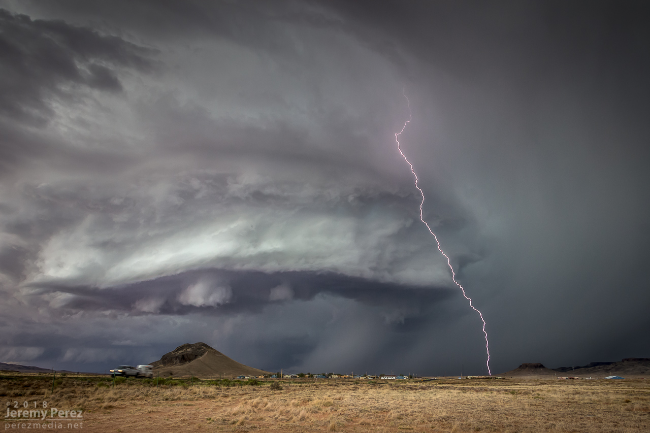
As the lead cell withered away, I set up for a time lapse of the trailing storm as it approached. It was a perfect spot with the stacked base spinning, morphing, spitting lightning, and draping feathers of precipitation as it aimed slightly to my south.

— 2326Z —
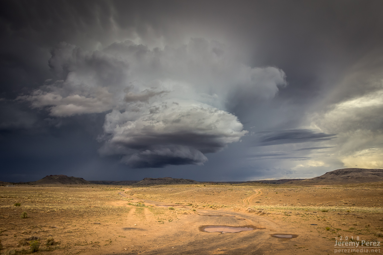
The trailing cell is now the main show as it slowly approaches

— 2336Z —

— 2351Z —

— 2323-2357Z —
Time lapse of approaching supercell from Dilkon

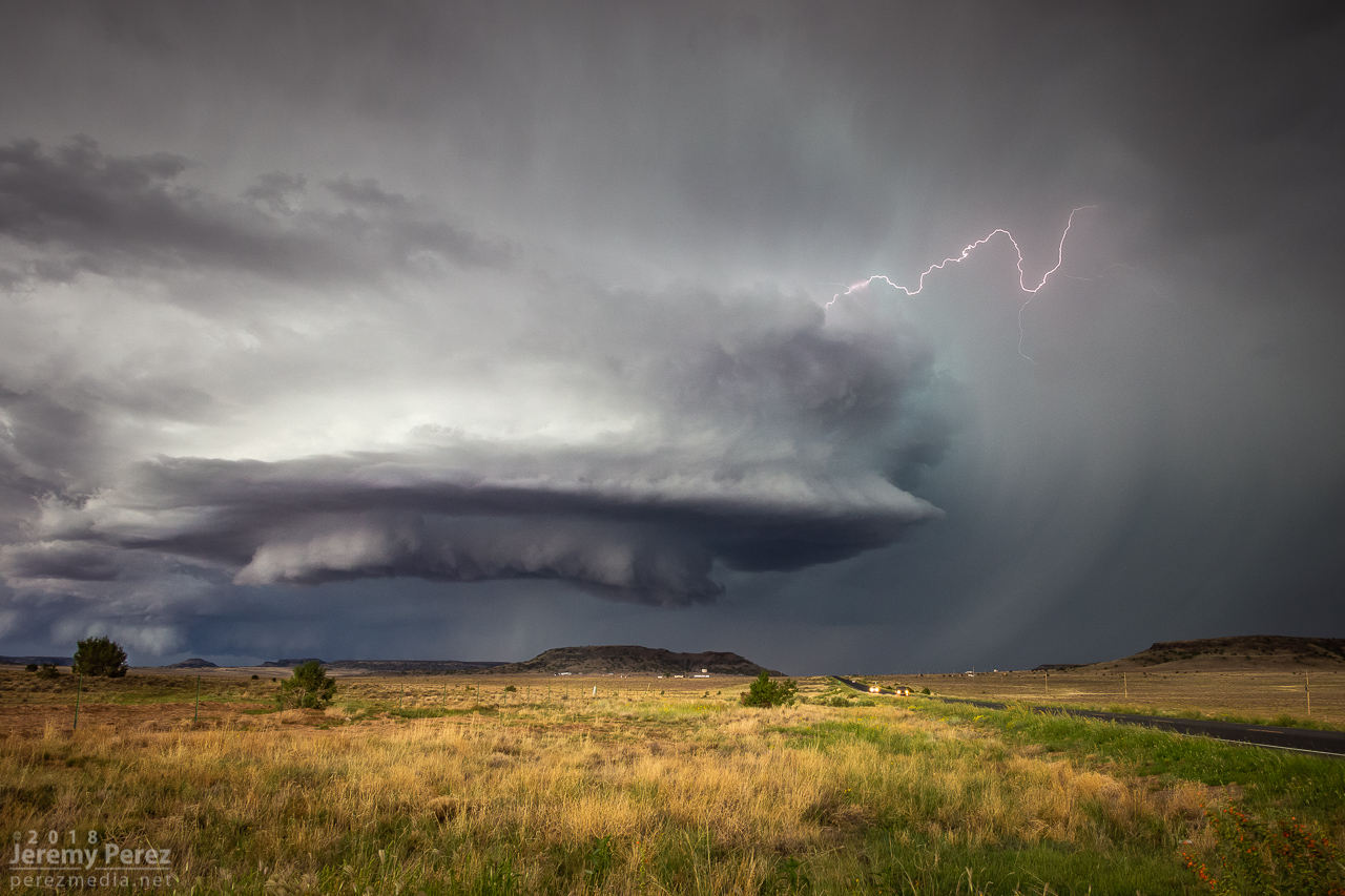
As it moved in, a new line of convection had filled in and was advancing quickly, shoving a low, gnarly shelf cloud as it tried to catch up to this spinning monument of rough pottery in front of me.
— 0007Z —
Lead cell now with a line of storms hot on its tail as seen by shelf cloud hugging the horizon to the left

— 0024Z —

— 2312Z —
Reflectivity/Velocity of line of storms rushing in

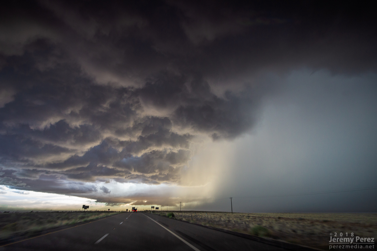
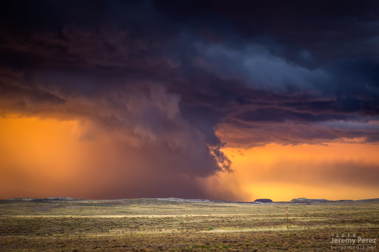
Staying ahead and in good position with that isolated cell seemed like a simple thing. I was planning to jog south on Rt 77 to Holbrook to get parting shots of it and pick up whatever new developments were inbound. But radar was showing me that the trailing line was getting serious, loaded with some big hail, and quickly expanding. I realized if I didn’t start hustling, it might cut me off from my planned route south, and punish my wife’s car in the process. So I only had time for quick stops or through-the-windshield shots as that isolated cell started to gust out and merge with the approaching line of storms. It wish I could have spent more time along that road. It looked down on an expansive, almost alien landscape with warm, late afternoon light flooding beneath approaching storm bases and greenish cores dumping on blackened buttes and red cliffs. Such a fantastic view.

— 0042Z —
Once great supercell now dying out

— 0043Z —
Panoramic view from Rt 77 as the hail-filled line of storms rushes in

— 0030Z —
Reflectivity/Velocity of my new predicament for heading south

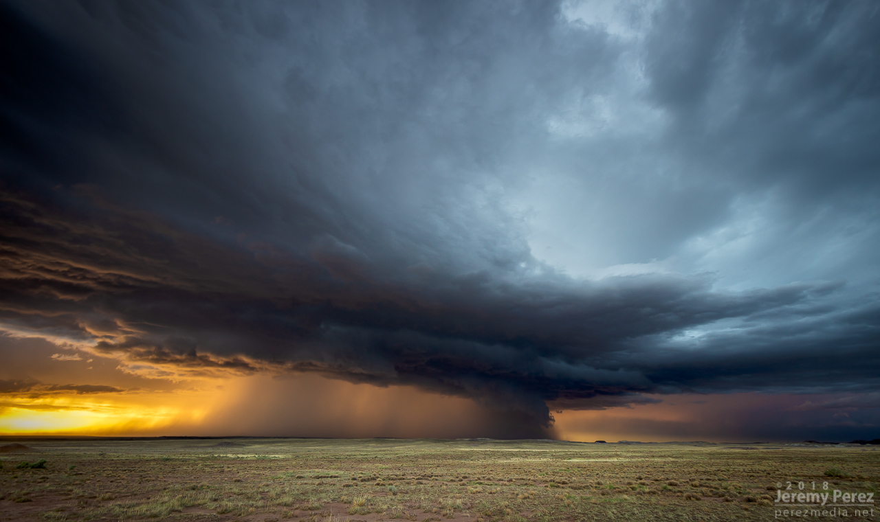
With just a few miles to go before reaching I-40, radar showed that line of storms accelerating into a bowing segment with a very menacing load of hail. I wanted to get onto Hwy 180, but to do so, I had to head southwest on I-40 into Holbrook before catching 180 back east. I had a tough call—either bail east at I-40 to escape the looming core, or jog in front of it to get to 180. When I got there, it looked like I had enough time to spare and I made for 180. That turned out to be a very tense six miles. The wind was picking up ahead of the dark, towering column of hail, and bits of ice were starting to hit as cars and trucks began hesitating, not sure what to do. I finally breathed easier as I got around the curving arc of monstrous ice and heading back east on Hwy 180. The views were incredible again. The bowing segment was reorganizing and developing a mesocyclone as it sailed over Sun Valley. The core looked fierce as the sun lit it in orange highlights agains black shadows. Around this time, the travel stop where I had to make that tough east-west decision was getting torn up by baseball size hail.
— 0103Z —
Menacing wall of hail rapidly approaching my route to Holbrook

— 0134Z —
Bowing segment has organized back into cellular mode after dropping baseball sized hail east of Holbrook

— 0135Z —
Tight view of sunlit core and rugged shelf cloud

— 0051-0114Z —
Reflectivity/velocity of baseball filled bowing segment

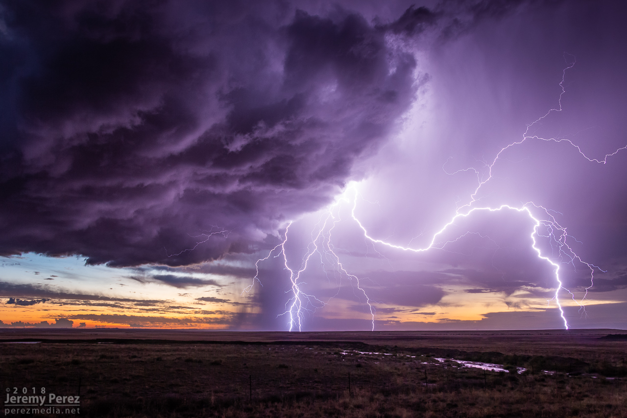
The big hail-maker continued onward to the east, spitting lightning as it departed. Further to the west, another cell was working on a weak mesocyclone of its own. Not as persistent and strong as the others had been, but still winding up a beautiful storm. As sunset and twilight deepened, the lightning from that cell served up a perfect combo of purple strikes on an orange and yellow sky.

— 0136Z —
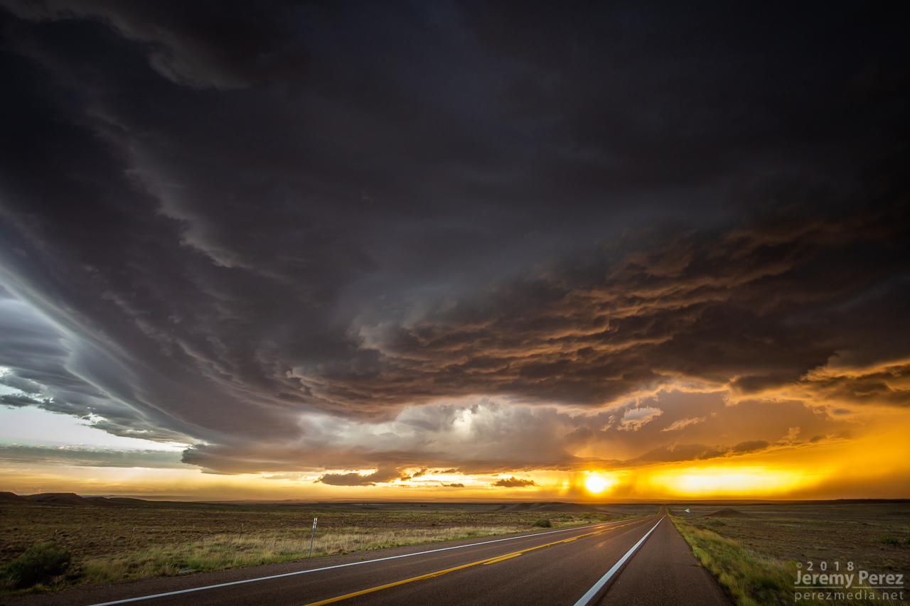
Sunset on Hwy 180 with a weaker cell trying to drape an inflow tail across the setting sun

— 0151Z —
Lightning dropping out of the core of the stronger cell to the east

— 0153Z —
More from the core of the east cell

— 0214Z —
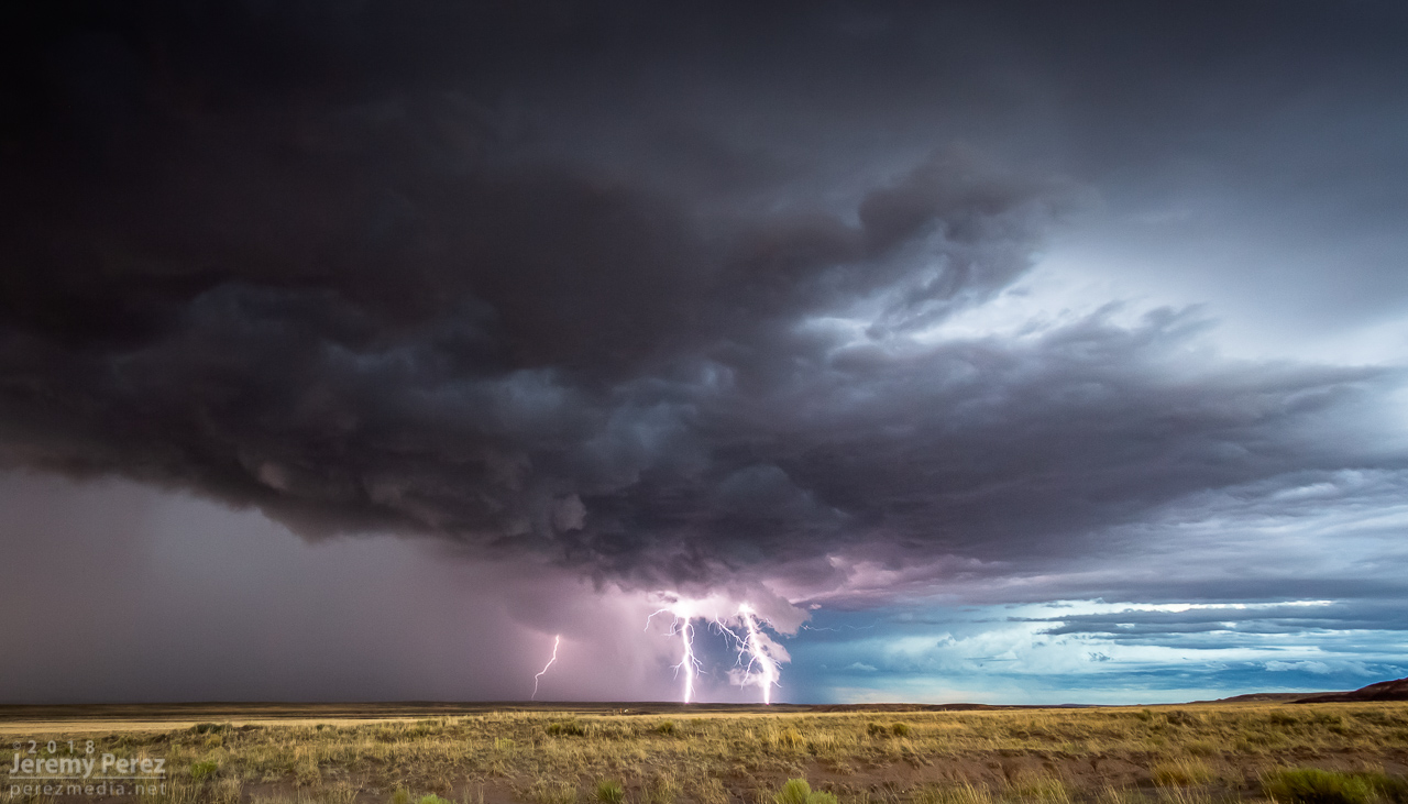
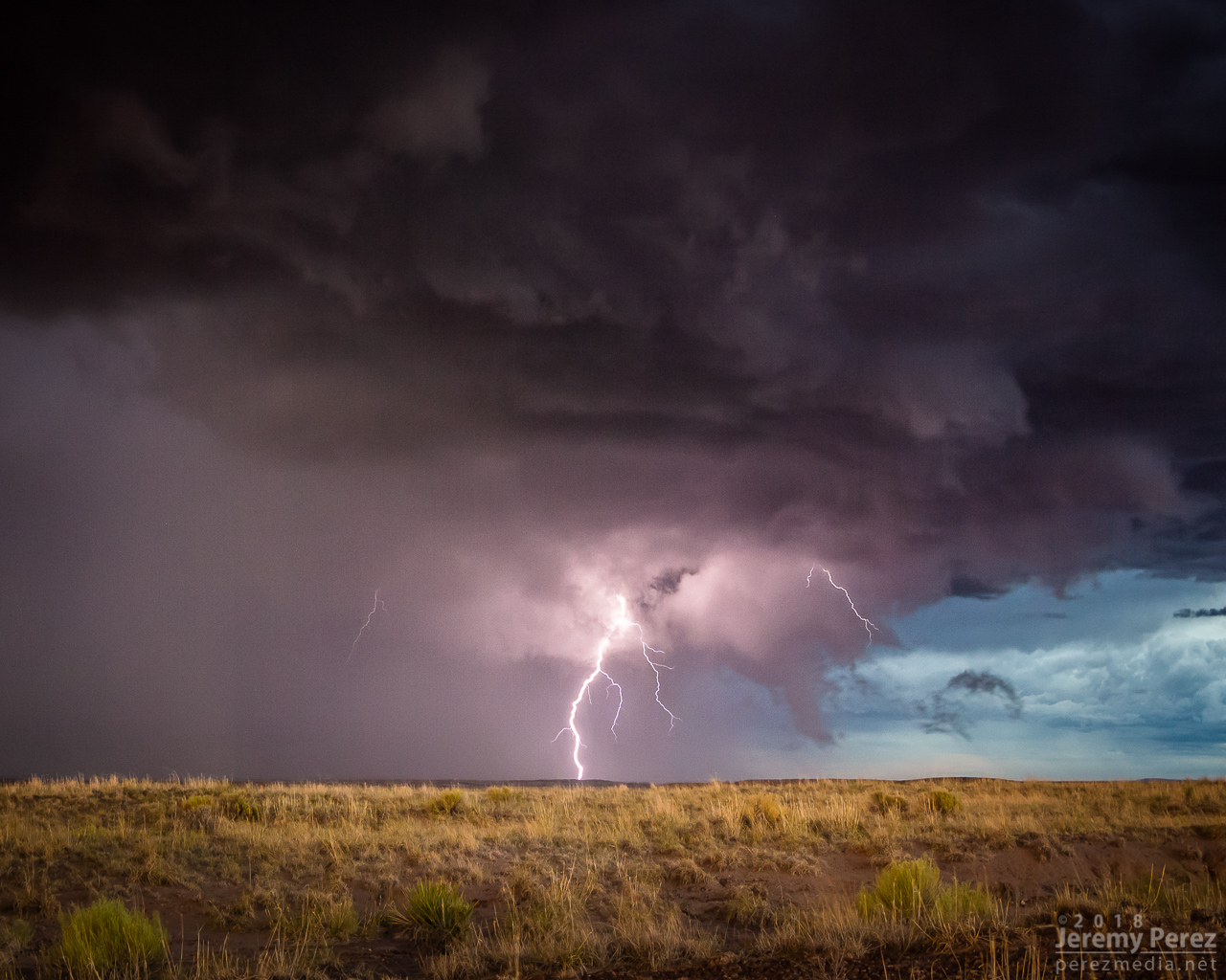
Western cell gusting out with a spectacular lightning display against the twilight sky

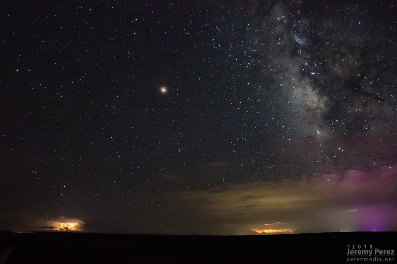
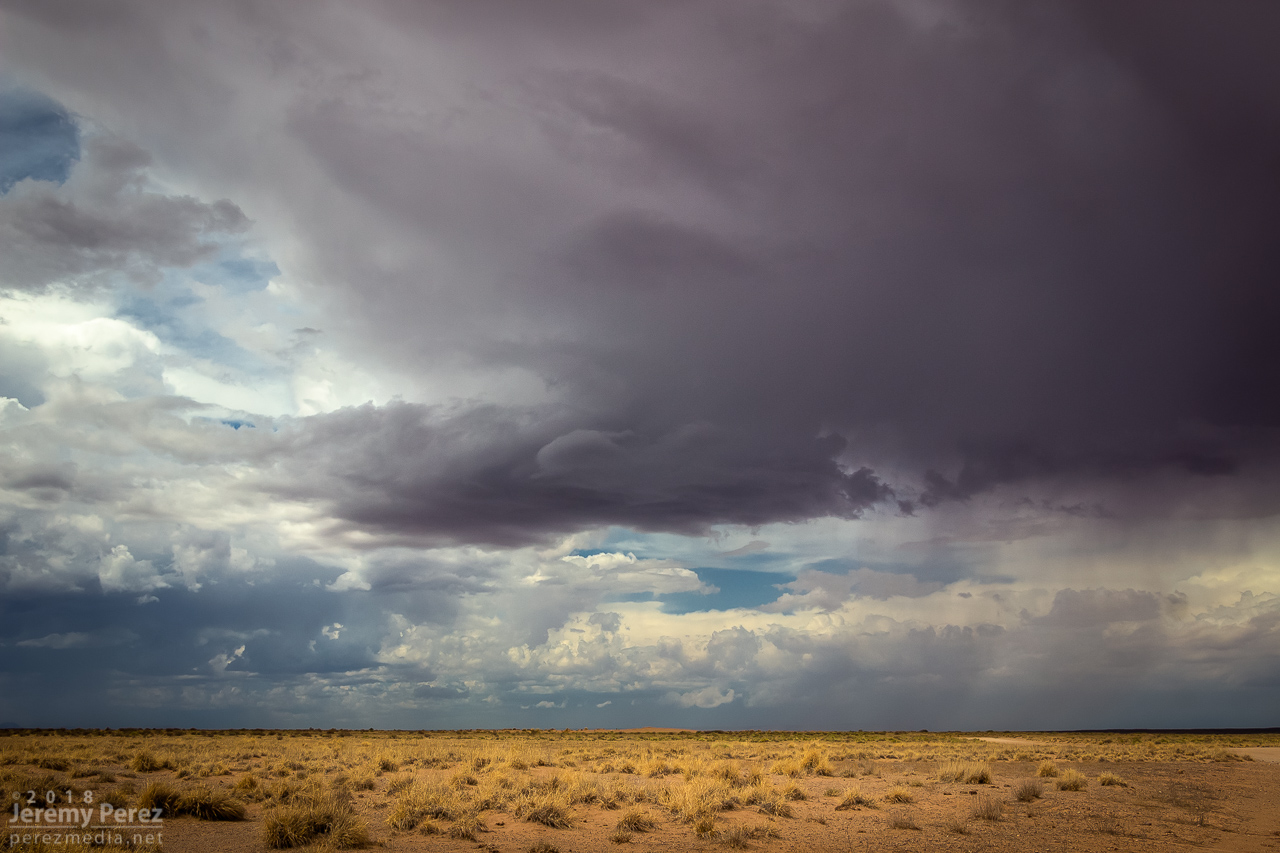
A short time later, John and I caught up and shared a few stories and LCD previews before heading off to attempt some final sprite photos. No sprites for me, but still a serene view of Mars and the summer Milky Way drifting westward as distant storms flicked light across bubbling cloud tops and coyotes yipped amid the surrounding hills.

— 0346Z —
Mars, Milky Way, and flickering storms 130 miles to the south from Hwy 180 southeast of Holbrook

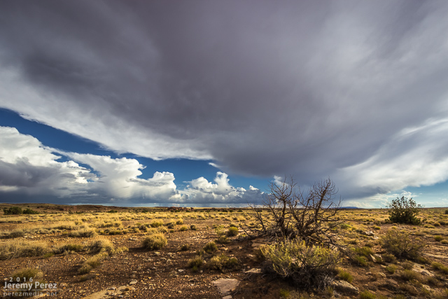
Monsoon storms got an early start on July 2nd. The night before, the HRRR model was trending toward an MCS rolling out of southern Nevada and into Flagstaff by around 6 AM. I set my alarm for 5 and sure enough she was right on schedule just west of town. I quickly threw myself and everything else in the car and headed out on east Route 66 to watch it plow through town. I love watching Arizona storm clouds when they’re in high-speed mode.

Storms towering over Flagstaff as seen from east Route 66 - 1226Z

Gust front making its way out of town - 1230Z

A nice eddy sculpts the gust front as it rushes by the south side of Mt. Elden - 1231Z

Since it looked like it might stay interesting, I headed east to Twin Arrows—and was reminded how much I disliked the view from that exit. So I headed a bit further east to the Buffalo Range Road exit—no real foreground elements to speak of, but at least it wan’t fences, power lines and dumpsters. As the gust front moved in, a northern stretch of it lunged out and sculpted an amazing, terraced shelf.

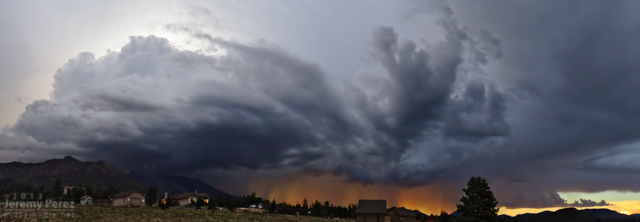
Beautifully sculpted shelf cloud between Twin Arrows and Two Guns - 1302Z

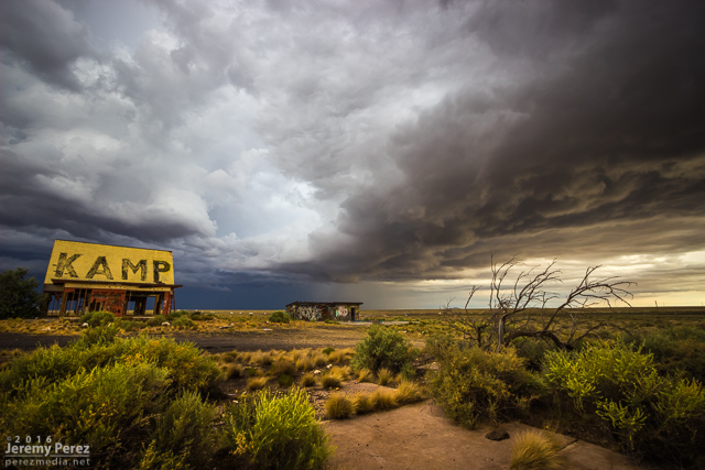
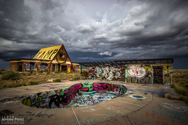
I jumped further east to Two Guns and composed some shots of the ghost town structures with the heavy morning sky. I’ve snagged a few photo ops with the stone structures in the area, but this was my first time working with the buildings on the east side.

Moody sunrise over Two Guns - 1313Z

Insane graffiti and advancing storms at Two Guns - 1317Z

After that, I raced ahead to Holbrook and then southeast on Hwy 180. The line of storms was messier at this point but still had some moments of shelfy goodness to offer.

Fangy, embedded shelf cloud southeast of Holbrook - 1451Z

Tantalizing scud photographed on the move, southeast of Holbrook - 1458Z

As that line weakened and moved off to the east, I had a look at the models again. Indications were that the morning cirrus shield would move on, the atmosphere would recover, and more storms would fire, despite subsidence in the wake of the morning MCS. So I headed back west and decided to explore Homolovi State Park for a little bit while convection slowly got going again.

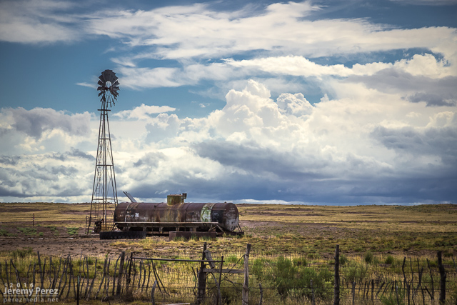
Receding convection and windmill on Hwy 180, southeast of Holbrook - 1612Z

A Loggerhead Shrike keeping an eye on parking spaces at the entrance to Homolovi State Park

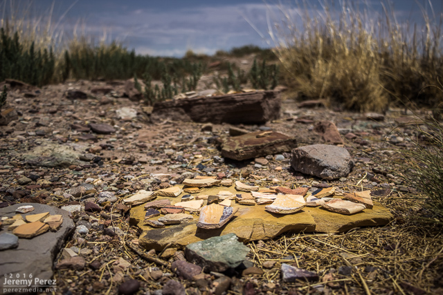
Pottery shards gathered on stone platforms at the Homolovi II Archeological Site

Cumulus bubbling south of Homolovi State Park - 1957Z

Convection strengthening over the San Francisco Volcanic Field - 2016Z

Collared Lizard showing off its colors at Homolovi State Park

Storms continued firing west of Leupp while tracking along and north of I-40, so I headed over to Rt 99 northwest of Winslow, then the Meteor Crater Road exit, and then back to Rt 99 south of Winslow. Storms were not as sculpted as they were that morning, but still enjoyable viewing on desolate roads.

Convection south of Leupp from Rt 99 - 2147Z

Lightning strike from north of Meteor Crater Road - 2246Z

Transient structure at the I-40/Rt 99 offramp - 2306Z

Storms forming along an intersection of outflow boundaries south of Winslow on Rt 99 - 2348Z

A hangnail of vorticity and a sunbeam along Rt 99 - 0007Z

I wrapped it up with a time lapse near Clear Creek as distant storms pulsed along a southward moving outflow boundary.

Convection and anvils along a receding outflow boundary from near Clear Creek - 0048Z

A short sequence of time lapses from the day.

This was an incredible day for a lot of chasers who targeted eastern Colorado. If you don't already know, just run a Google image search for "Simla Colorado Tornado" and bask in the amazement. My morning forecast perusal had dabbed a target option in the Simla vicinity as an 'Upslope Magic' option. I opted for a Kansas triple point target near Oakley instead.

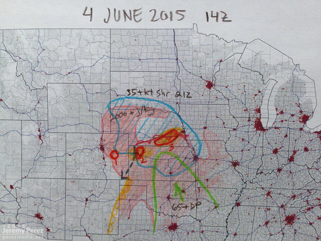
The morning forecast analysis

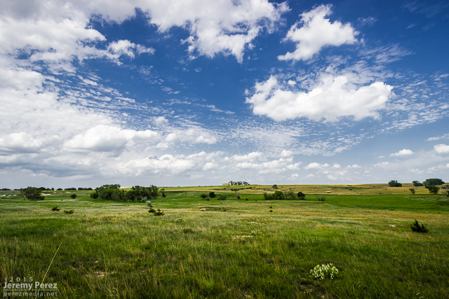
We eventually drifted even further east near Zurich where better parameters seemed to be evolving. It wound up being a long wait. This part of Kansas was strikingly beautiful and begged for some photos while we waited for the cap to break along the warm front.

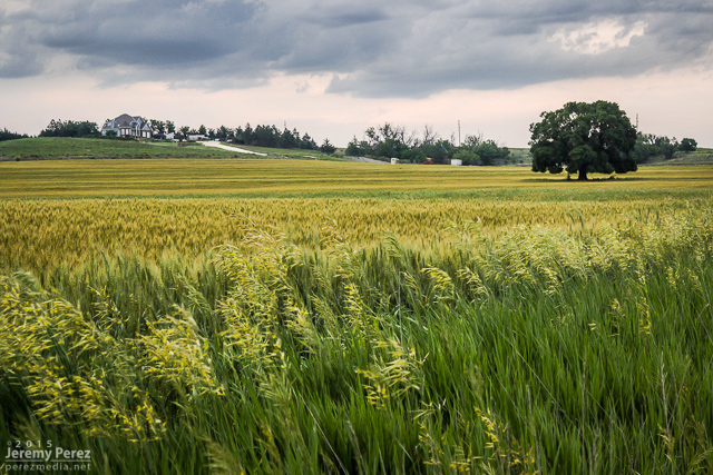
Kansas countryside near Zurich || 2115Z

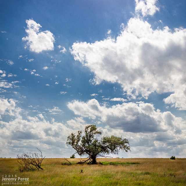
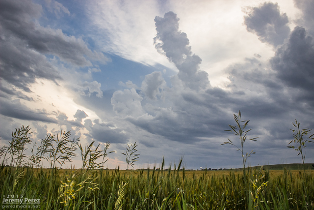
Lone tree and capped sky at Zurich || 2120Z

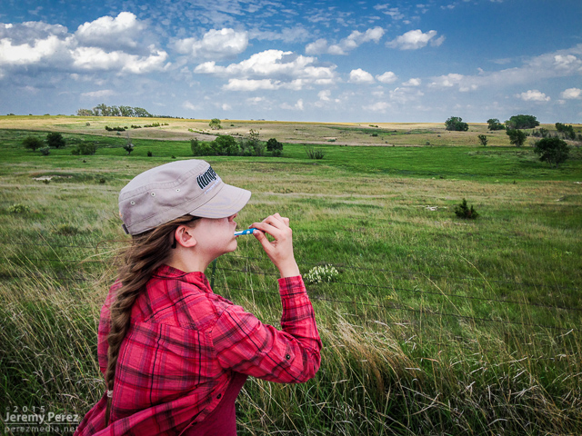
Freshening up with a view

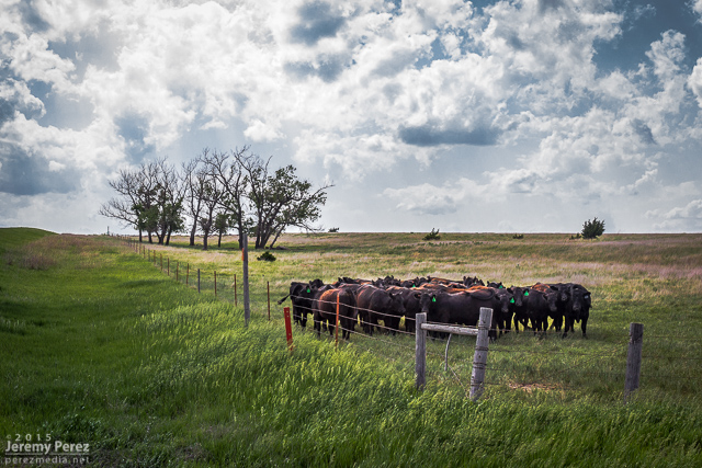
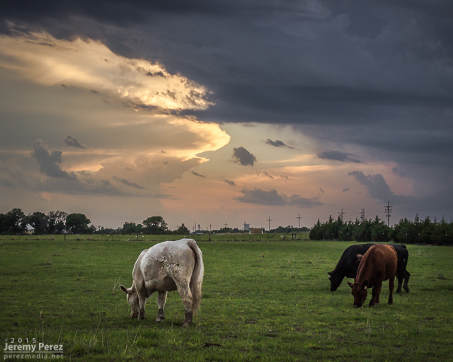
Loitering cattle that can't get any further southeast || 2140Z

After more waiting and hoping, and getting hints of amazing things happening in Colorado, we made our way to Stockton. I was really worried the cap was going to win and we were going to wind up with a complete bust. However, as convection started to fire in western Kansas, thin bubbles of cumulus finally started trying to hold their own in our area around 8:30 PM.

Thin streamers of cumulus finally taking a jab at the cap || 0130Z

Stockton homeowners about to get a great light show in a couple hours || 0130Z

More cattle not worried about building storms and anvils || 0140Z

We moved back west to view a storm that quickly blew up north of Nicodemus. We stayed on this awesome, nearly stationary lightning producer while grabbing time lapse footage. A nicely lowered base swung into view to our north and lightning told a staccato tale of scuddy, ground-scraping wonders beneath.

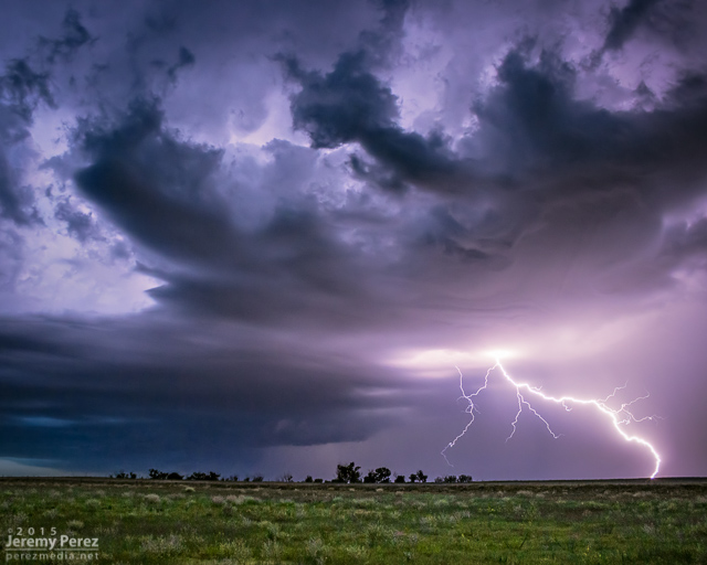
Lightning strike beneath an active supercell north of Nicodemus || 0235Z

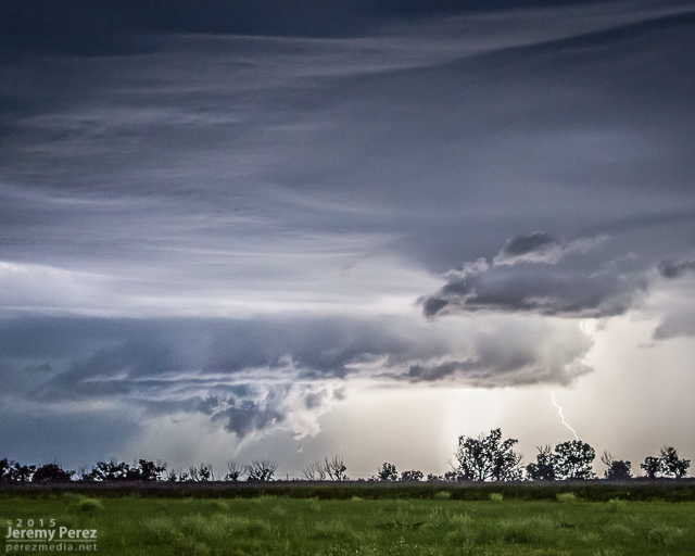
Scary scud & who-knows-what beneath the Nicodemus supercell || 0302Z

A storm further west near Seldon wound up with a tornado warning around this time. We stuck with our storm though because I figured it had as good a chance of doing the same, and it was in a lot better road position for an after dark chase. Despite tantalizing goings-on beneath the updraft, our cell never went beyond a severe warning.

After our Nicodemus storm seemed spent, we slowly made our way westward. I wanted to get back to Limon for the night, but storms were stalking our path back and I didn't want to risk hail cores or worse after dark. So we waited them out and shot a bit more lightning photography.

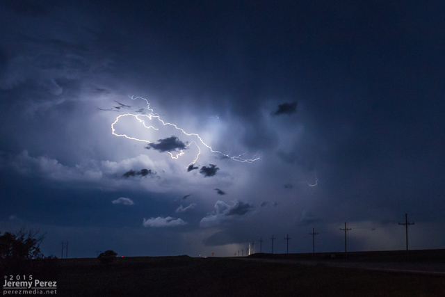
Roll cloud/shelf cloud and lightning lurking over our way to Limon || 0340Z

We made it to our Limon hotel around 2AM just in time for a cell to go tornado-warned to our west as it headed straight for town. So we got back in the car, tired and cranky, and headed south of town to let the storm move through.

Tornado-warned cell approaching Limon || 0653Z

Storms of 2015

2015 went down as another year without a tornado. However, awesome weather was still in abundance, and I got to enjoy some exhilarating storms with at least one gorgeous, white funnel that stared us down between Burlington, Colorado and Kanorado, Kansas.

This year I put a lot more effort into tracking down mesocyclone potential in Arizona and wound up with some beauties. Three of them were solid, daylight examples of Arizona supercells, with deep rotation lasting over an hour. A couple more nocturnal supercells hid their structure behind terrain and darkness while other daylight examples of rotating storms were more transient and weak—but still fascinating during their brief, messy lives.

This is a video and time lapse compilation some of the amazing storms I chased and photographed across the high plains and Arizona in 2015.

Storms of 2015

Music:
Beautiful Shapes by Louis Romanos Quartet
Forgotten Shore by Dhruva Aliman
beatpick.com

I just finished editing and uploading video to the September 27, 2014 chase report.

Arizona Storm Chase and Supercells - September 27, 2014 from Jeremy Perez on Vimeo.

Video account and time lapse sequences from the chase.

The trough that led to the amazing Rozel, Kansas tornadoes on May 18th, 2013 was positioned to support another round of severe weather on the 19th. Dew points were reaching into the upper 60s into eastern Kansas and Oklahoma. With steep mid-level lapse rates, mixed layer cape levels were heading over 3000 J/KG. Ample shear was in place to support supercells. The exit region of an advancing speed max ended up giving further support to strong, widespread convection over eastern Kansas.
An outflow boundary was positioned just south of the Oklahoma-Kansas border. With the advancing dryline, these two would help focus storm initiation and increased tornado potential along the outflow boundary.

  • 500 MB

  • Synoptic

  • Surface Obs/DP

  • MLCAPE

  • 0-6km Shear

  • 300 MB/Divergence

I chose to begin my chase further north in Kansas because I anticipated Oklahoma storms along the boundary would propagate into difficult chase territory and storms further south along the dryline would enter dense urban areas along the I-35 corridor.

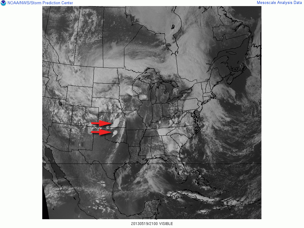
Storms ended up erupting in two clumps: one area from east-central to south-central Kansas, and another pretty much right over the OKC metro area.

21Z Visible Satellite


  • 21Z / Oxford Storm

  • 23Z / Newkirk Storm

  • 01Z / Maple City Storm

Video documentary of the chase.

Thematic spot to park and check data south of Moline, Kansas (1800Z)

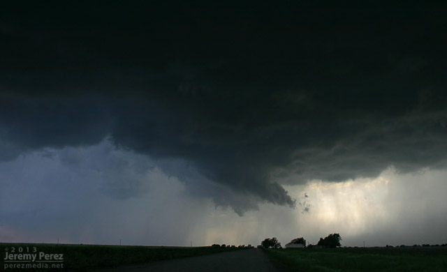
As storms matured, I made my way toward a cell approaching Oxford, Kansas. By the time I was positioned east of Oxford, the storm was HP and had a tornado warning. The look of the storm was incredibly menacing. The forward flank was lofting a ragged, low shelf that had the train-like appearance of an inflow tail as it led into the sealed notch between forward and rear flanks. Positive lightning strikes were landing just ahead of it and casting off fearsome canon-shots of thunder.
Reflectivity and position near Oxford, Kansas (2133Z)

Approaching forward flank (2133Z)

Positive charge lightning strikes ahead of the Oxford HP Supercell.

The green rear flank rolls northeastward along the heavy forward flank of the Oxford HP Supercell.

As the green RFD curtain approached, like it was rolling along the gears of the forward flank, I repositioned three miles further east. From this new spot, I witnessed the spectacle of rapid circulation developing in the rain free base just ahead of the FFD/RFD notch as a new RFD seemed to push out, trying to get ahead of the occlusion. The established RFD was moving in quick, so I had to abandon that spot and drive east to stay ahead. So I wasn't in position to see the tornado that was reported 6 minutes later about 6 miles northeast of that spot.

Circulation developing in the rain free base just ahead of the Oxford HP Supercell.

About that time, the Oxford storm started to congeal with others and form into a severe squall line. This convinced me to work my way southward to stay out of the mess and look for opportunities with any isolated storms on the tail end of the squall line. I had some pretty impressive views of the advancing line as I headed south.

Massive gust front on a congealing squall line from Winfield, Kansas (2158Z)

Another gaping gust front as seen from 4 miles south of Arkansas City, Kansas (2242Z)
A brief rope tornado was reported 1 mile north of Arkansas City about 17 minutes later.

I eventually wound up on an isolated supercell near Newkirk, Oklahoma. I was able to hang out for a half hour in that spot and watch it approach. RFD was working its way into the base and encouraging a slender wall cloud to inhale scud, but it just wasn't strengthening. I was also concerned about the quality of roads to my east, so I let it go. It picked up a tornado warning not long after.

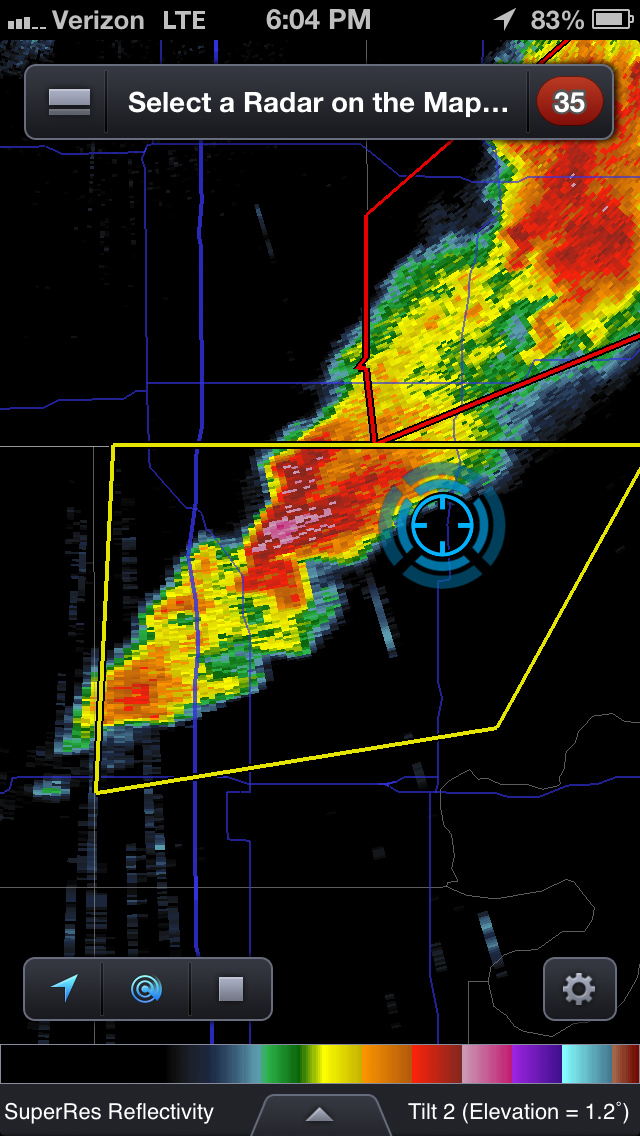
Reflectivity and position near Newkirk, Oklahoma (2304Z)

RFD cuts into the rain free base of a supercell 3 miles north of Newkirk, Oklahoma (2311Z)

Scud rises into an anemic wall cloud on the Newkirk supercell (2313Z)

RFD and wall cloud on the Newkirk supercell (2316Z)

Since new development still seemed likely, I decided to give the farm roads to the east a try. They were a lot better than I thought--pretty rocky actually--so I spent over an hour navigating north and east as I watched a very thin line of convection do pretty much nothing exciting stormwise, but did make for an excellent sunset display.

Tail end of a line of convection on the Kansas-Oklahoma border (2357Z)

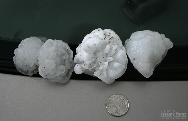
After finally getting back onto a paved road, back into Kansas, I noticed a severe-warned storm, moving up out of Oklahoma. I tried racing south to get ahead of it, but couldn't manage it. After it passed, I did get to sift through its wake and picked up hail as large as 3 inches along the roadside about 7 miles east of Maple City, Kansas.

Collection of large hail (0130Z)

Three inch hail near Maple City, Kansas (0130Z)

Three inch hail near Maple City, Kansas (0130Z)

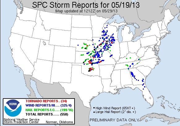
My first contribution to an SPC storm report.

So, no tornadoes, but definitely some awesome sights on this chase. The dynamics near Oxford were unforgettable, and even though I missed seeing the tornado, I had an amazing perspective on that storm.

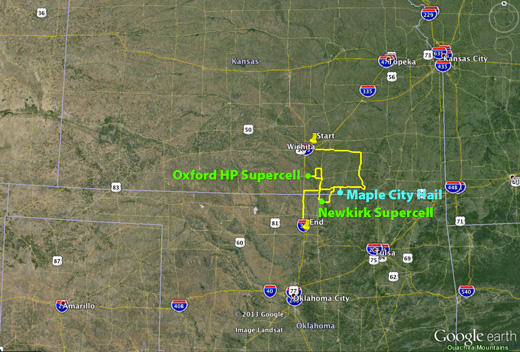
May 19, 2013 Chase Map

SPC Storm Reports - May 19, 2013

Links to more chase accounts from May 19, 2013:

2013 Southwest Monsoon

The 2013 Southwest Monsoon season still has three more weeks to go. Before it moves into the sometimes interesting transition period at the end of September and early October, here are some highlight photos. Except for the lightning shots, the rest of the shots were taken with my iPhone. It has drawbacks with noise, especially in low light areas, but it's so handy, and always with me that I'm getting shots that I otherwise might not be prepared for. (What that means is I need to make an effort to keep my camera with me more often.)

July 2, 2013

Panorama of a storm developing south of Flagstaff as seen near I-40 and 4th Street at 2:18 PM.

New development overhead a few minutes later was drawing in a bit of vorticity and sculpting a brief cinnamon bun into the cloud base.

July 3, 2013

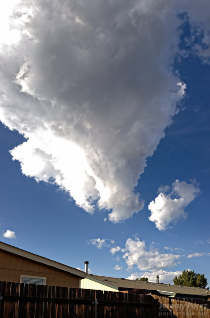
The base of a dying updraft over east Flagstaff tapers to a point.

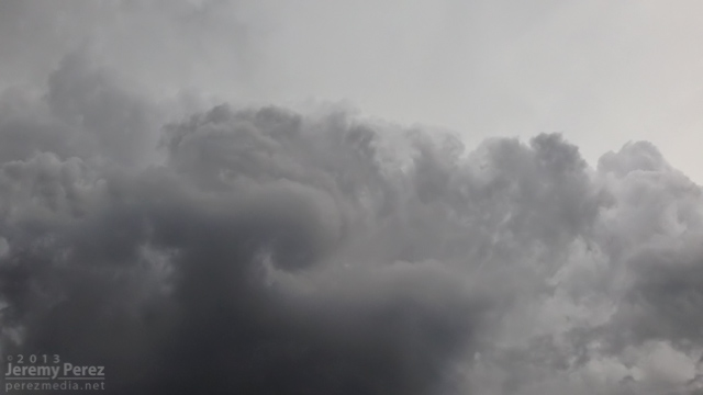
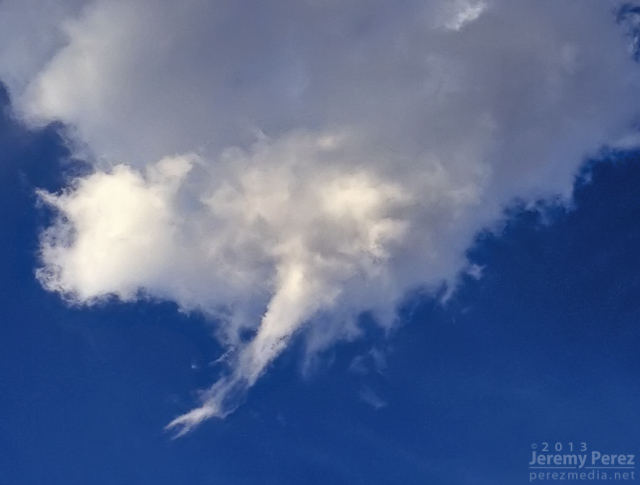
The dwindling remnants of the eroding storm base reveals a slowly rotating spindle--not rapid enough to be a shear funnel.

July 4, 2013

An active storm north of Mt. Elden puts on a beautiful show of ongoing anvil crawlers.

July 11, 2013

Pop-up convection develops west of Flagstaff as seen from Rt. 66 in east Flagstaff.

July 20, 2013

Lightning flickers behind a weak gust front east of Flagstaff as seen from Rt. 66.

July 23, 2013

Inflow, chilled by heavy precipitation, creates a rugged lowering in the rain free base of this storm over Schultz Pass. As seen from 4th Street in central Flagstaff

August 23, 2013

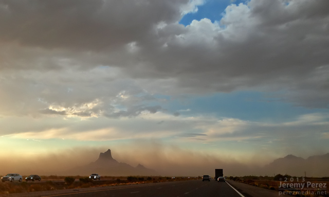
Dry outflow pushes a growing wall of dust northward from Tucson, as Picacho Peak rises above the dust and desert floor. The photo was taken by my wife, Amanda, as we drove north on I-10 toward Phoenix.

August 26, 2013

An ominous haboob blew into Phoenix, featuring a laminar updraft, intermittent shelf cloud and spectacular lightning after the gust front passed. This view is facing southeast as seen from near central Phoenix.

September 2, 2013

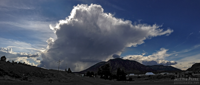
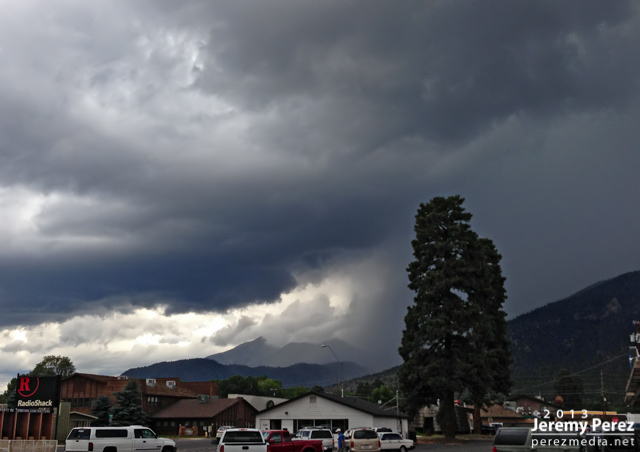
A beautifully lit and structured thunderstorm brews over the San Francisco Peaks as seen from Highway 89 in northeast Flagstaff.

September 7, 2013

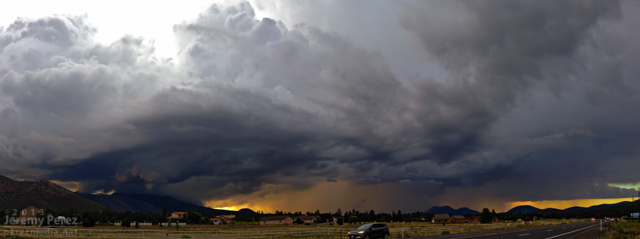
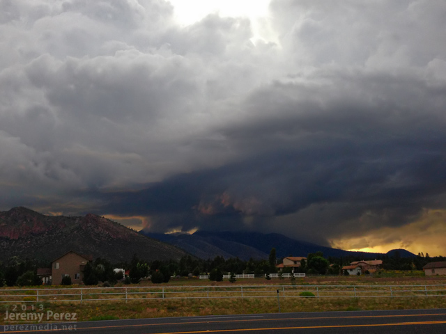
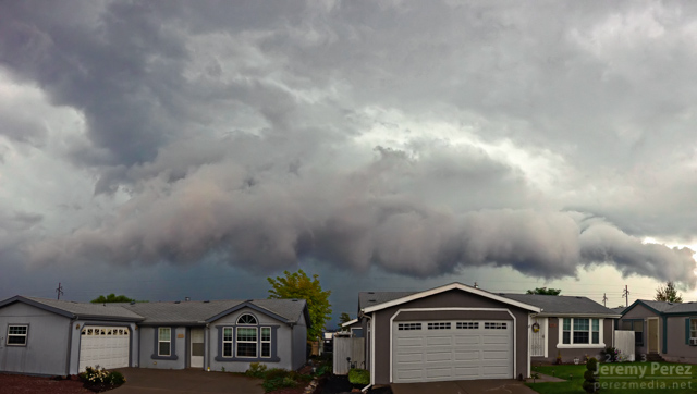
Looking south as a clump of northbound thunderstorms pushes a ragged shelf cloud into east Flagstaff. September 7, 2013. (Another iPhone panorama, so some of the seams are a bit jumpy.)

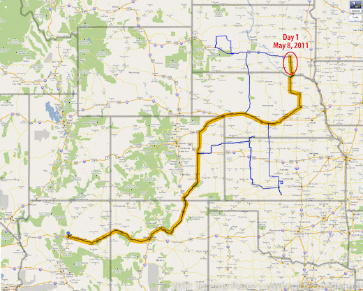
I got on the road Saturday afternoon, left Flagstaff, drove most of the night, and made it to eastern Nebraska by Sunday late afternoon.

I'll try to do a more detailed summary later with more photos. (I'm extremely worn out.)

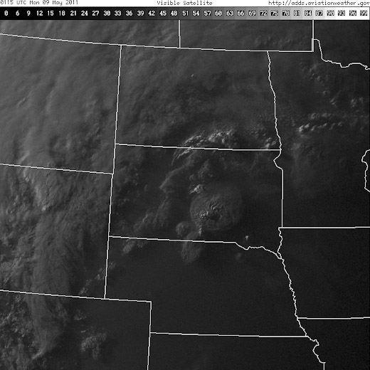
After checking models and spc discussion each time I stopped to fuel up, I decided I would head to the warm front. Unfortunately, eastern Nebraska turned out to be a wasteland of uncooperative cloud streets. The cap wasn't budging there at all. I figured I was going to have a complete bust on my first day out. But then inhibition started to part in South Dakota, a few storms started to blossom. Most were too far to consider, but a small, fresh one was within reach, so I raced north. As I got closer, I realized the cap had clamped down and nothing was left but an orphan anvil.

I kept going north, just in case, and was suprised by a view of a new tower going up on the other side of the Missouri river, half-lit by the coppery light of the setting sun.


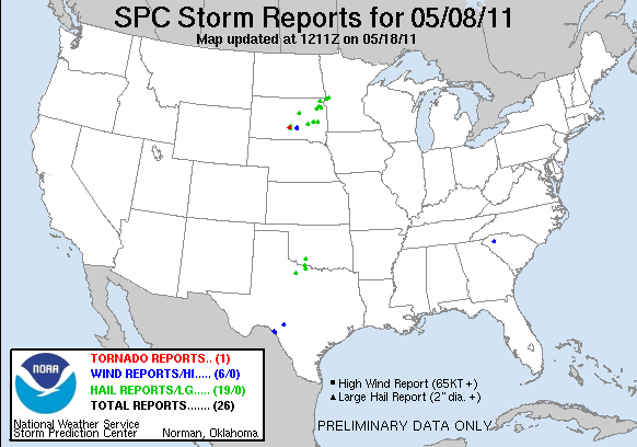
Satellite view showing my target storm as a bright blip in the far south-southeast corner of South Dakota. (Note the only tornado-producing cell in the south-central part of the state--too far out of reach.)

The new tower was farther north than I thought, and was moving north at about 25 knots. I decided not to keep chasing it in the dark, so I broke off, satisfied to see it sputter with lightning as it drifted away. At least I got a distant storm and some lightning for day 1.

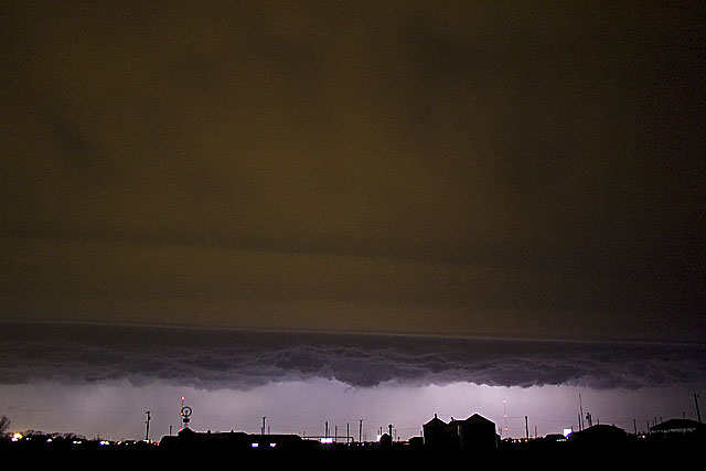
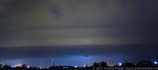
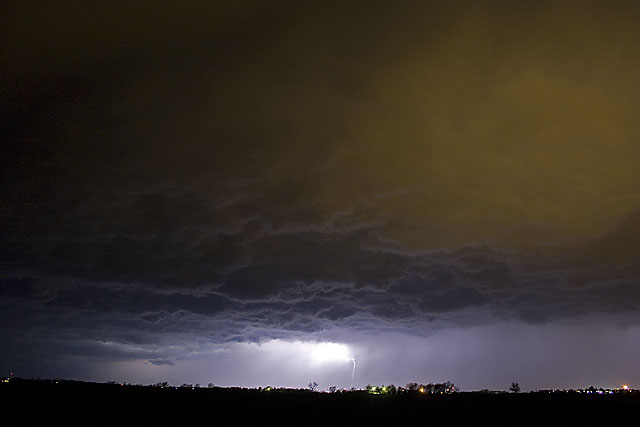
I fueled up again and did some supply shopping. Afterward, as I drove to a section of gravel roads south of Mitchell, SD to park for the night, I was overwhelmed by nonstop lightning behind me. I pulled over to figure out where it was coming from. Sprawled out to my west was a huge, sculpted shelf cloud, gaping with rain, wind and lightning--and it was visibly expanding in my direction. I didn't want to get the car golf-balled, so I raced down the dirt roads, going after a good north-south paved road. Along the way, I made some brief stops to photograph this majestic thing.

At one stop alongside a small lake, the sound of katydids, frogs and other nocturnal creatures blended in with the non-stop thunder of the approaching storm. It was wonderful. As I continued south and east, I realized the entire gust front was going to chase me into Missouri if I let it. So I hunkered down in a farm field access and embraced the drenching rain and unceasing lightning. It was an amazing way to end the day.


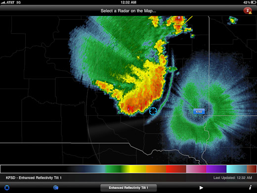
Radar showing my position with the approaching gust front.

Lessons Learned

  • Argh. Just play closer to the triple point--don't get creative with points further out along the warm front.
  • The cap likes to be stronger further south.
  • A shorter focal length lens would be nice for capturing massive gust fronts and shelf clouds.
  • After night fall, shut off the car, get outside and enjoy the sights and sounds of lightning, thunder, and wildlife.

Day 1 - MAY 8, 2011 - Night Storms in South Dakota

Day 2 - MAY 9, 2011 - Anticipating Initiation in South Dakota

Day 3 - MAY 10, 2011 - Positioning Practice in Kansas

Day 4 - MAY 11, 2011 - Tough Decisions in Kansas

Day 3 in Kansas was a bit of a bust for us. As we drove south through Nebraska, we found ourselves behind the TIV crew as the dryline was beginning to brew in western Kansas/Eastern Colorado.

As we dropped south toward Hoxie, Kansas, cells were beginning to go severe. We noticed a caravan of chasers heading west toward Colby. However, a couple frames of radar convinced me not to head west, but to continue south and then east in hopes of heading off a storm that I thought was turning right. It was a huge mistake. Shortly after that last radar loop, the cell I was watching was consumed by another to its west. From then on all storms that exploded along the dryline raced almost directly north at 40 to 50 mph. By then, I had placed us 75 miles too far to the east. Soooo stupid. Meanwhile spotters were reporting tornadoes along the dryline, screaming northward. I tried to salvage the situation, heading north and west to try and catch something--anything, but it was too late. By the time we reached the conveyor belt near Atwood, the sun was setting, and it was getting to hazardous to intercept.

So we hung out on US-36 listening to radio reports and catching radar whenever we could get a connection. As night fell, a couple tornado warned supercells lit up the sky, moving up from south. As the storms crossed north of our road, we had a clear view of their structure as they were almost continuously illuminated by lightning.

Although we missed out on any tornadoes, I learned some lessons about forecasting storm motion, and being cautious about how much I bet a sizable drive away from the boundary on just a couple frames of radar. And we did get a stunning light show to cap the day.

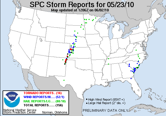
SPC Report for May 23, 2010

Chase Vacation Reports

Lightning - AUG 5 & 12, 2009

We've enjoyed some evening lightning lately--the best kind of fireworks.

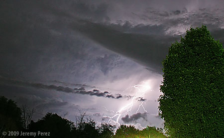
This first shot was from Edmond, Oklahoma on August 5, 2009. While sitting outside, we watched as a line of anxious cumulus to the north finally pushed their way through the cap and sprouted a healthy storm. The frequent and constant lightning illuminated the crisp, sculpted edges of the cloud and occasionally revealed bright stitching as warped streamers fell from the sides.


Click image for larger version.

SubjectCumulonimbus and Lightning
LocationEdmond, Oklahoma, USA
DateAUG 05, 2009; 10:07 PM CDT
EquipmentCanon EOS 300D + Kit Lens
Settings30 sec, f/9.0, 18.0 mm, ISO 800
ProcessingNoise reduction, power line removal, contrast & color management in Photoshop CS3

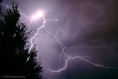
This next shot was taken from home earlier this evening as a storm was pushed north by a line of convection along the Mogollon Rim. Flagstaff doesn't often see evening lightning displays since the storms fire up earlier in the day before racing off to the lower elevations leaving more stable air behind for the rest of the night. That wasn't the case tonight and we saw some brilliant webs of light igniting the sky to the south.


Click image for larger version.

SubjectLightning
LocationFlagstaff, Arizona, USA
DateAUG 12, 2009; 08:26 PM MST
EquipmentCanon EOS 300D + Kit Lens
Settings30 sec, f/9.0, 18.0 mm, ISO 200
ProcessingNoise reduction, contrast & color management in Photoshop CS3