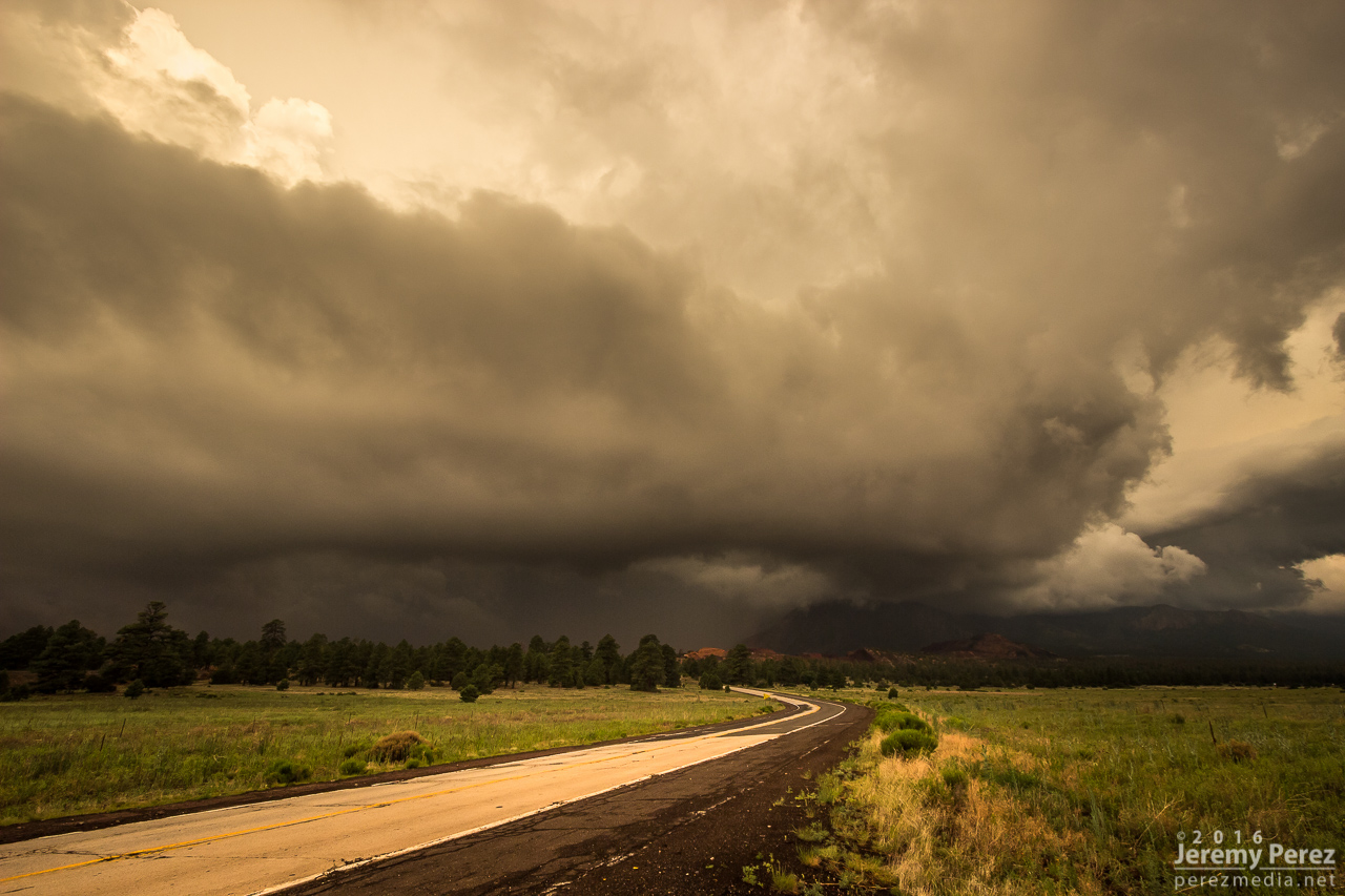
Monsoon storms got an early start on July 2nd. The night before, the HRRR model was trending toward an MCS rolling out of southern Nevada and into Flagstaff by around 6 AM. I set my alarm for 5 and sure enough she was right on schedule just west of town. I quickly threw myself and everything else in the car and headed out on east Route 66 to watch it plow through town. I love watching Arizona storm clouds when they’re in high-speed mode.
Storms towering over Flagstaff as seen from east Route 66 - 1226Z
Gust front making its way out of town - 1230Z
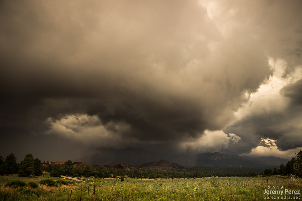
A nice eddy sculpts the gust front as it rushes by the south side of Mt. Elden - 1231Z
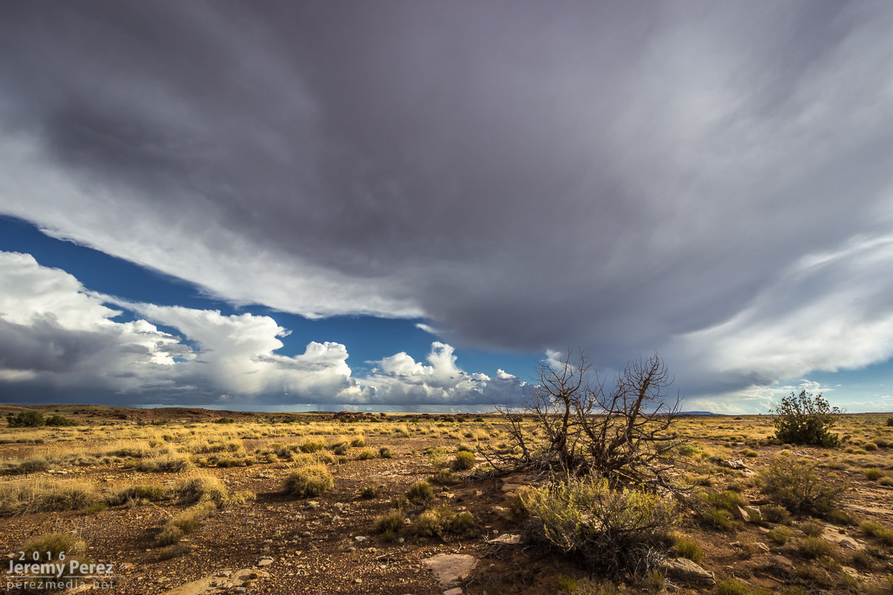
Since it looked like it might stay interesting, I headed east to Twin Arrows—and was reminded how much I disliked the view from that exit. So I headed a bit further east to the Buffalo Range Road exit—no real foreground elements to speak of, but at least it wan’t fences, power lines and dumpsters. As the gust front moved in, a northern stretch of it lunged out and sculpted an amazing, terraced shelf.
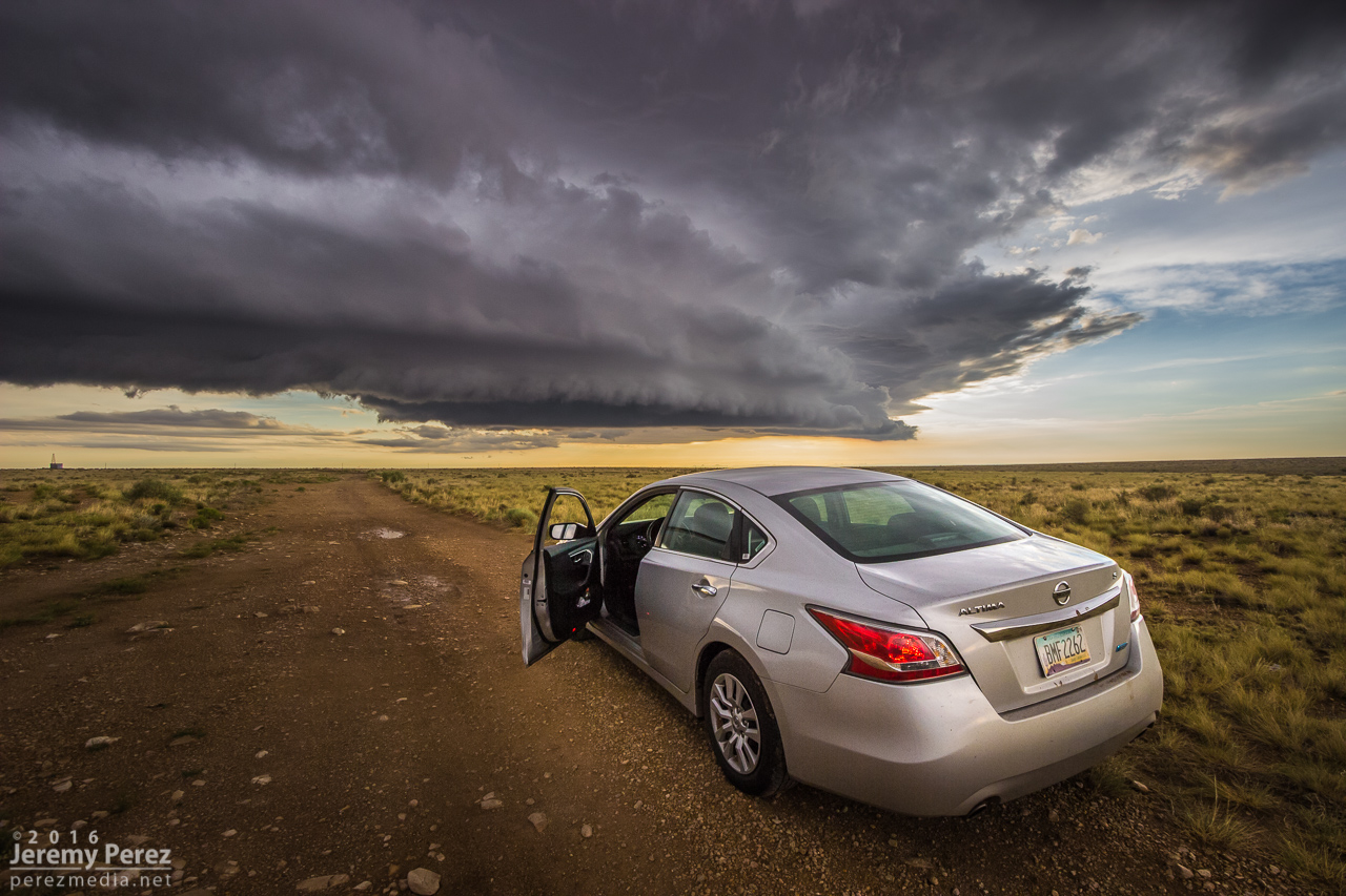
Beautifully sculpted shelf cloud between Twin Arrows and Two Guns - 1302Z
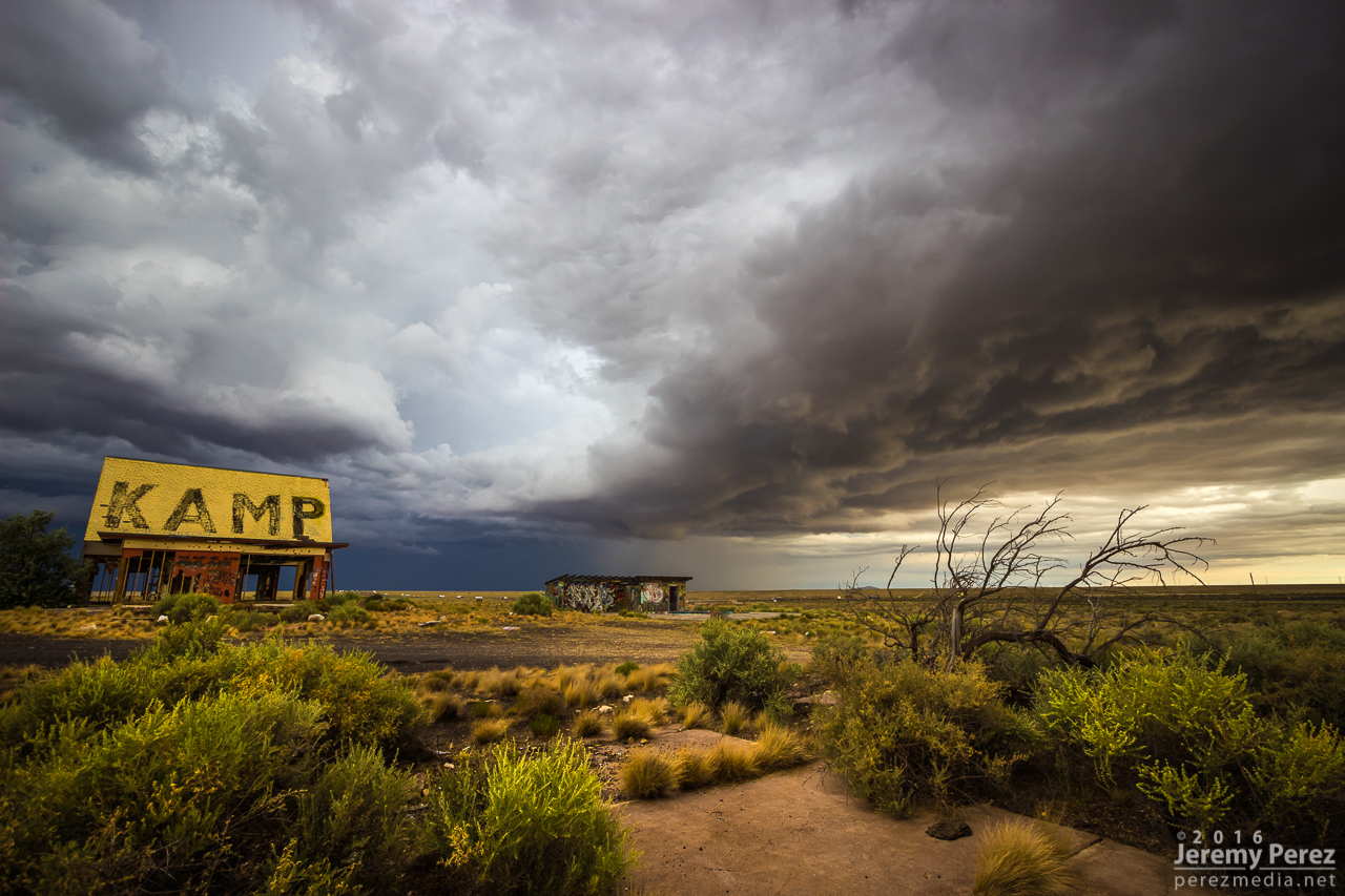
I jumped further east to Two Guns and composed some shots of the ghost town structures with the heavy morning sky. I’ve snagged a few photo ops with the stone structures in the area, but this was my first time working with the buildings on the east side.
Moody sunrise over Two Guns - 1313Z
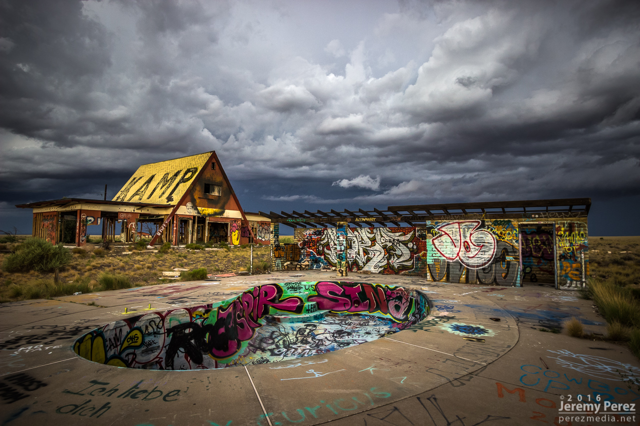
Insane graffiti and advancing storms at Two Guns - 1317Z
After that, I raced ahead to Holbrook and then southeast on Hwy 180. The line of storms was messier at this point but still had some moments of shelfy goodness to offer.
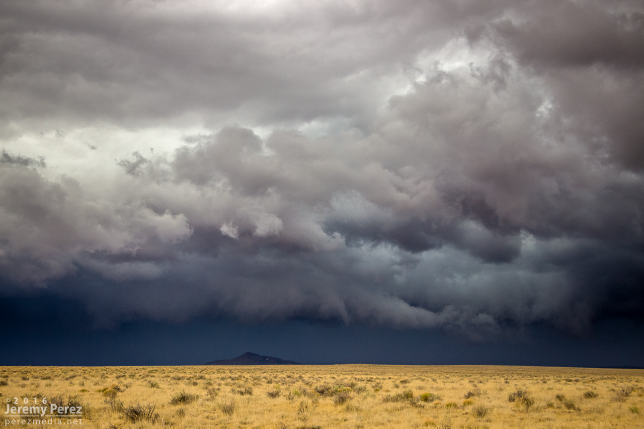
Fangy, embedded shelf cloud southeast of Holbrook - 1451Z
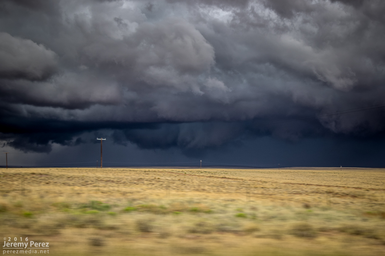
Tantalizing scud photographed on the move, southeast of Holbrook - 1458Z
As that line weakened and moved off to the east, I had a look at the models again. Indications were that the morning cirrus shield would move on, the atmosphere would recover, and more storms would fire, despite subsidence in the wake of the morning MCS. So I headed back west and decided to explore Homolovi State Park for a little bit while convection slowly got going again.
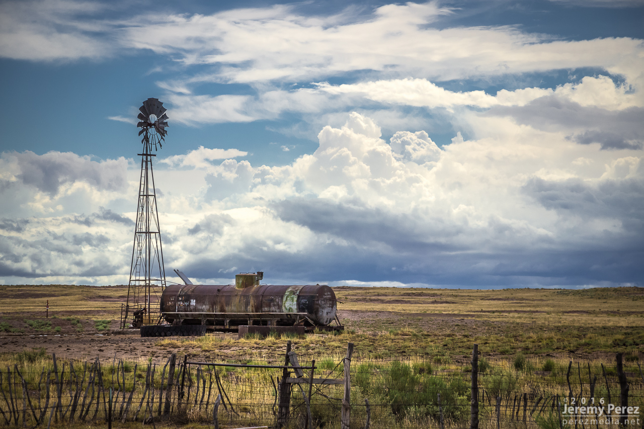
Receding convection and windmill on Hwy 180, southeast of Holbrook - 1612Z

A Loggerhead Shrike keeping an eye on parking spaces at the entrance to Homolovi State Park
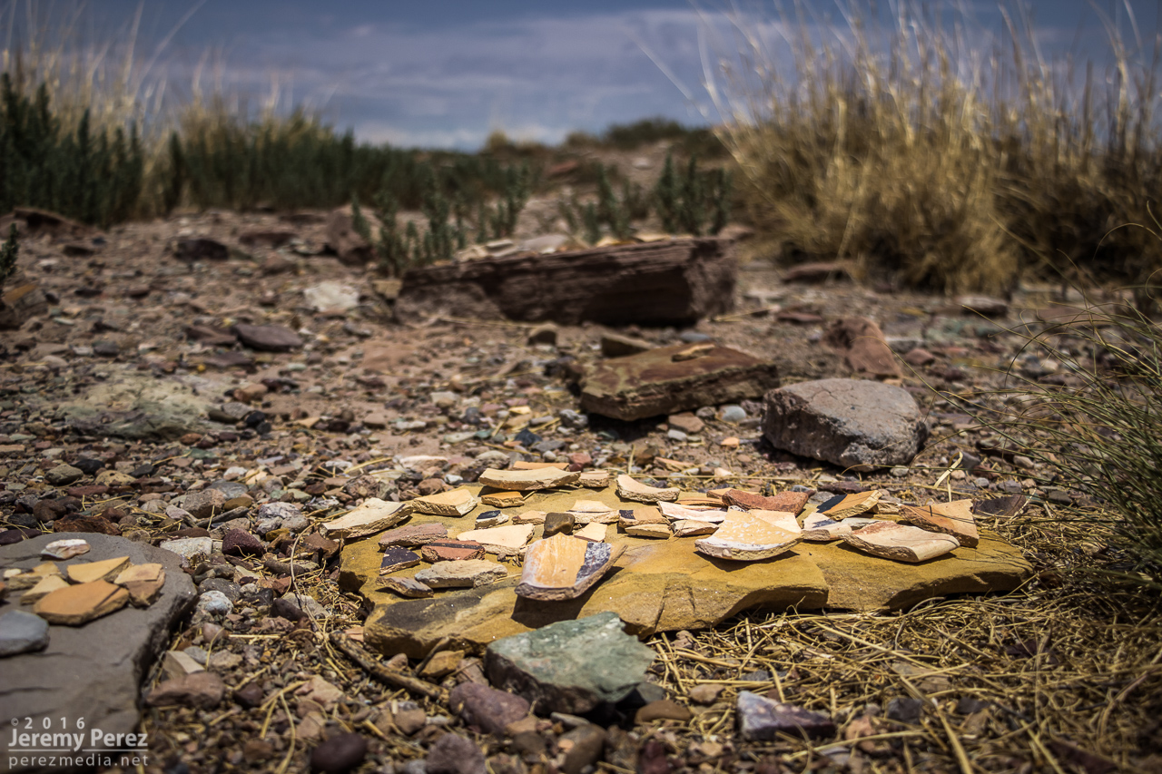
Pottery shards gathered on stone platforms at the Homolovi II Archeological Site
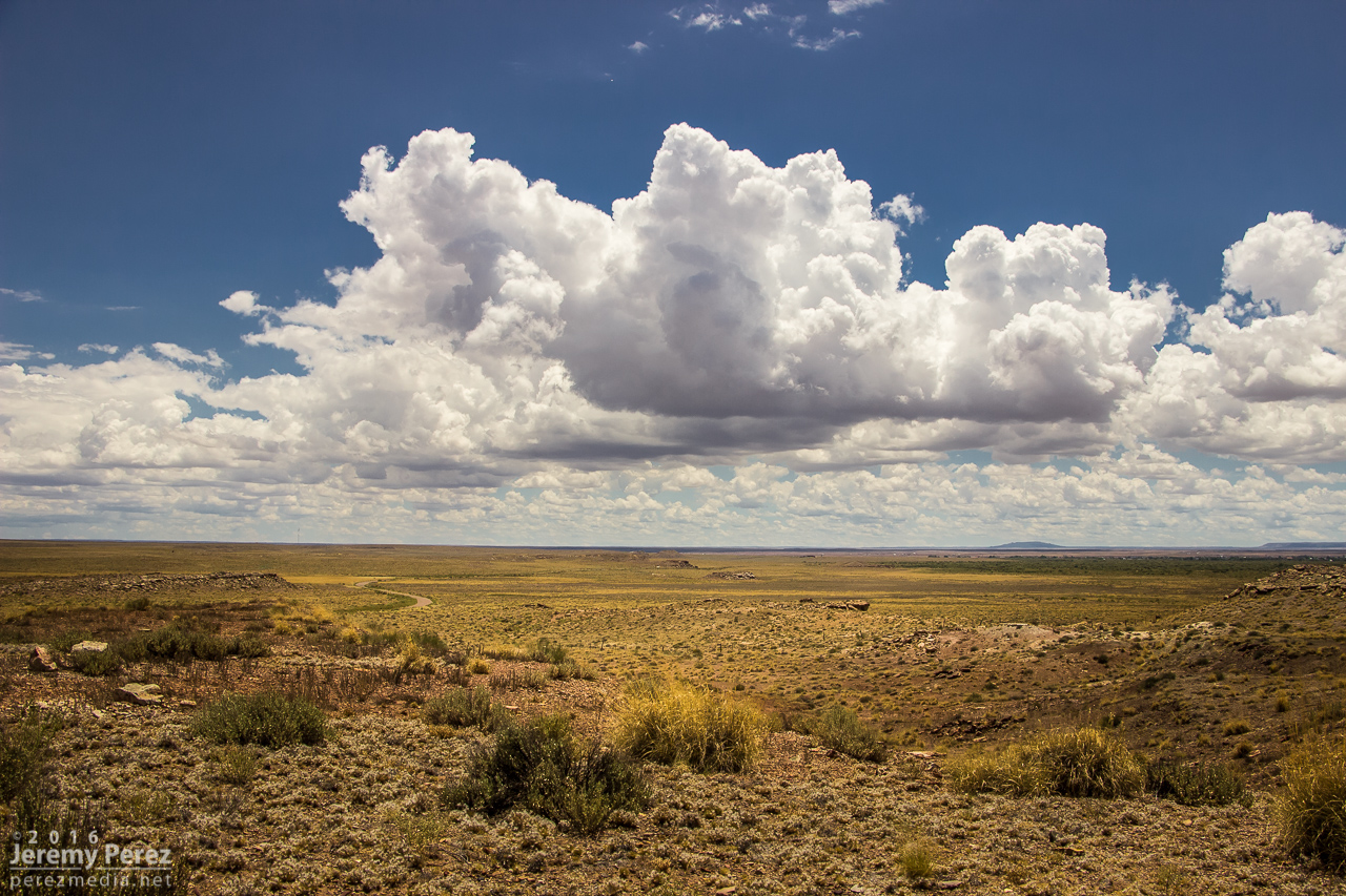
Cumulus bubbling south of Homolovi State Park - 1957Z
Convection strengthening over the San Francisco Volcanic Field - 2016Z

Collared Lizard showing off its colors at Homolovi State Park
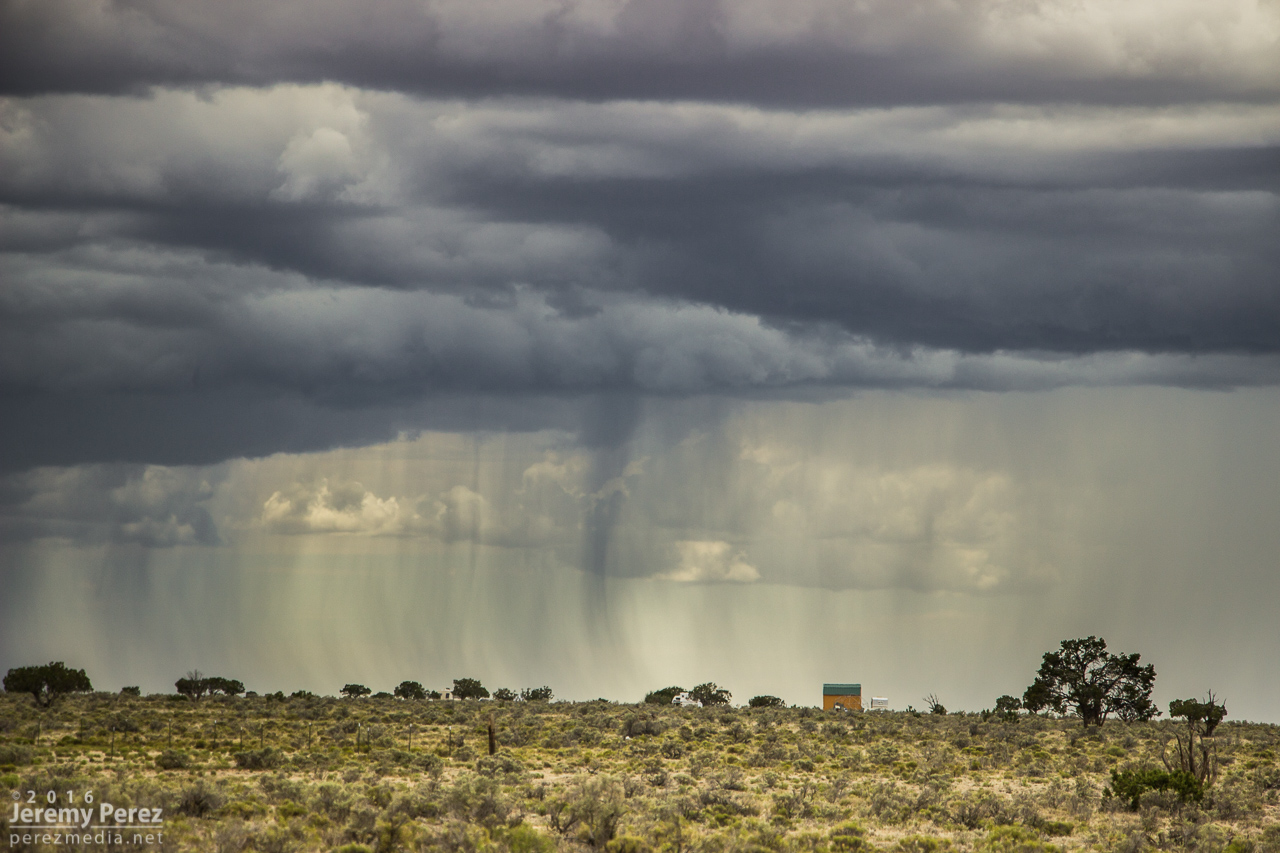
Storms continued firing west of Leupp while tracking along and north of I-40, so I headed over to Rt 99 northwest of Winslow, then the Meteor Crater Road exit, and then back to Rt 99 south of Winslow. Storms were not as sculpted as they were that morning, but still enjoyable viewing on desolate roads.
Convection south of Leupp from Rt 99 - 2147Z
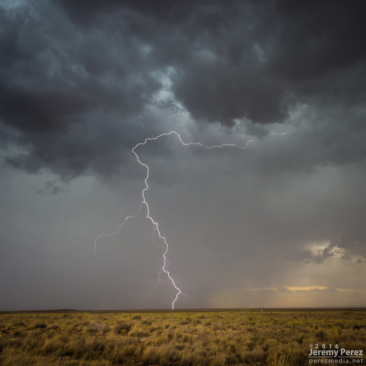
Lightning strike from north of Meteor Crater Road - 2246Z
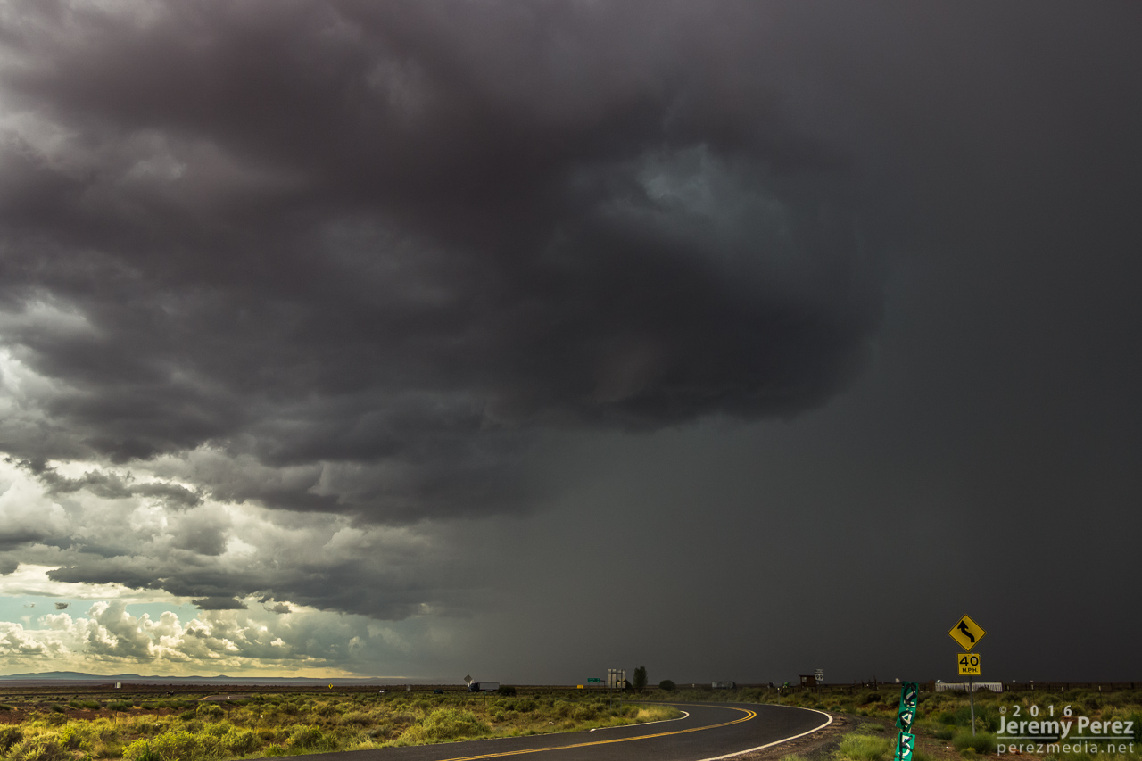
Transient structure at the I-40/Rt 99 offramp - 2306Z
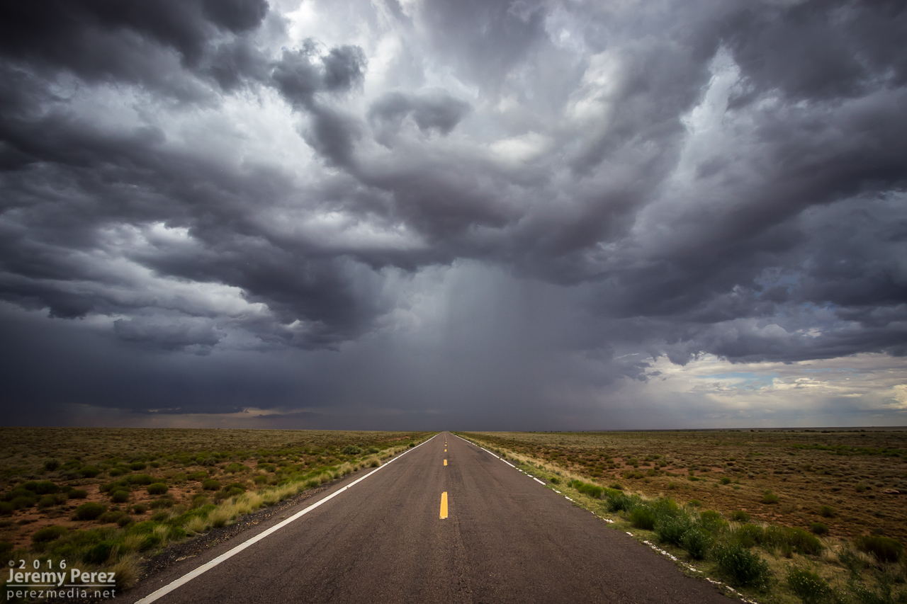
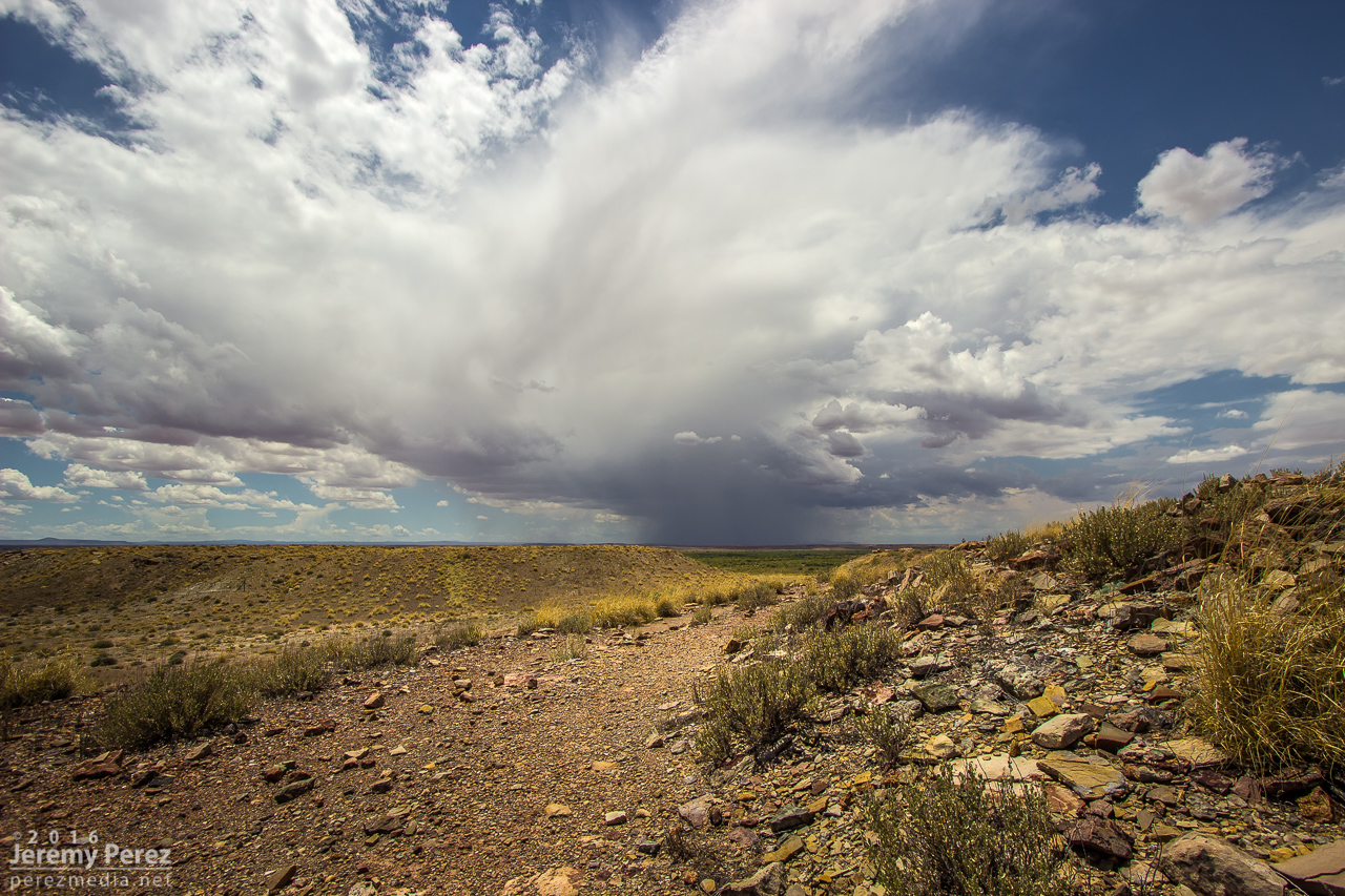
Storms forming along an intersection of outflow boundaries south of Winslow on Rt 99 - 2348Z
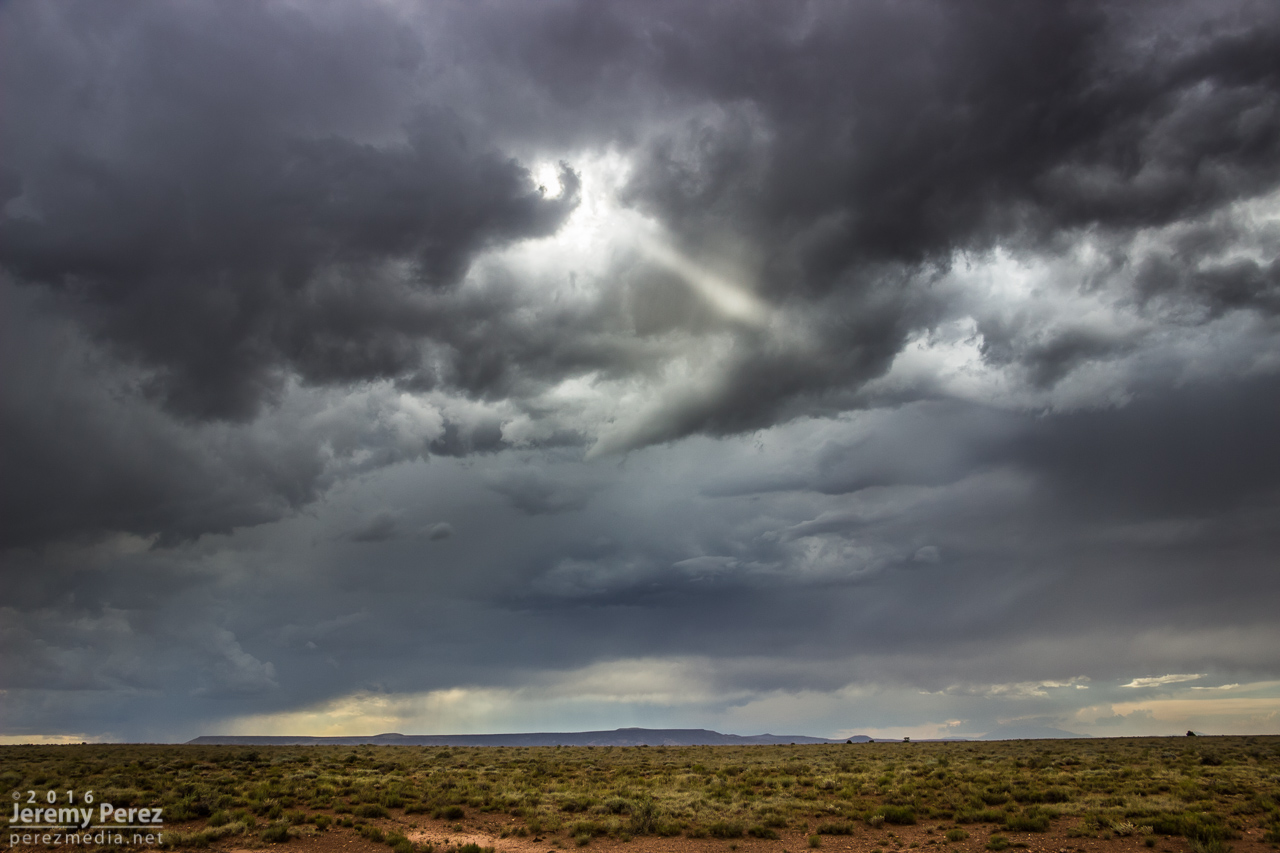
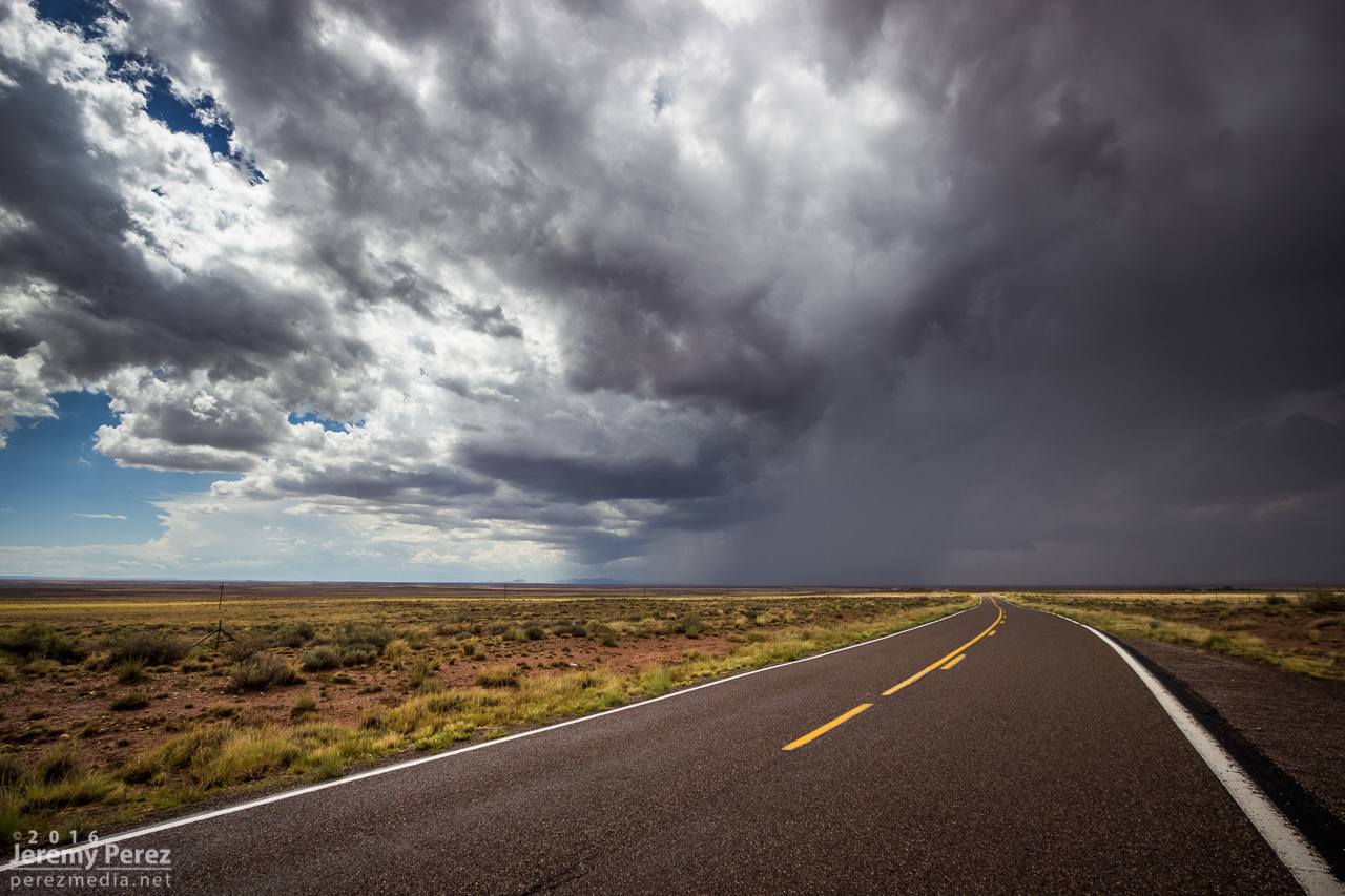
A hangnail of vorticity and a sunbeam along Rt 99 - 0007Z
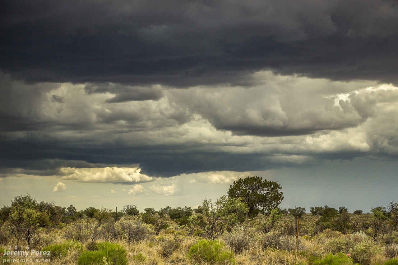
I wrapped it up with a time lapse near Clear Creek as distant storms pulsed along a southward moving outflow boundary.
Convection and anvils along a receding outflow boundary from near Clear Creek - 0048Z