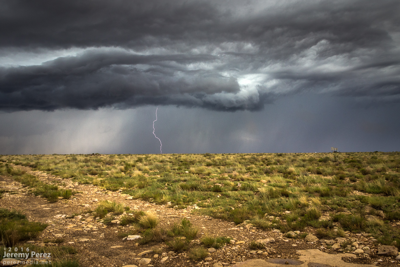
September 2016 Archives

11 August

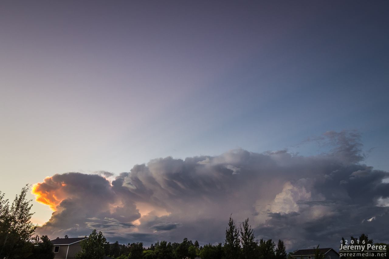
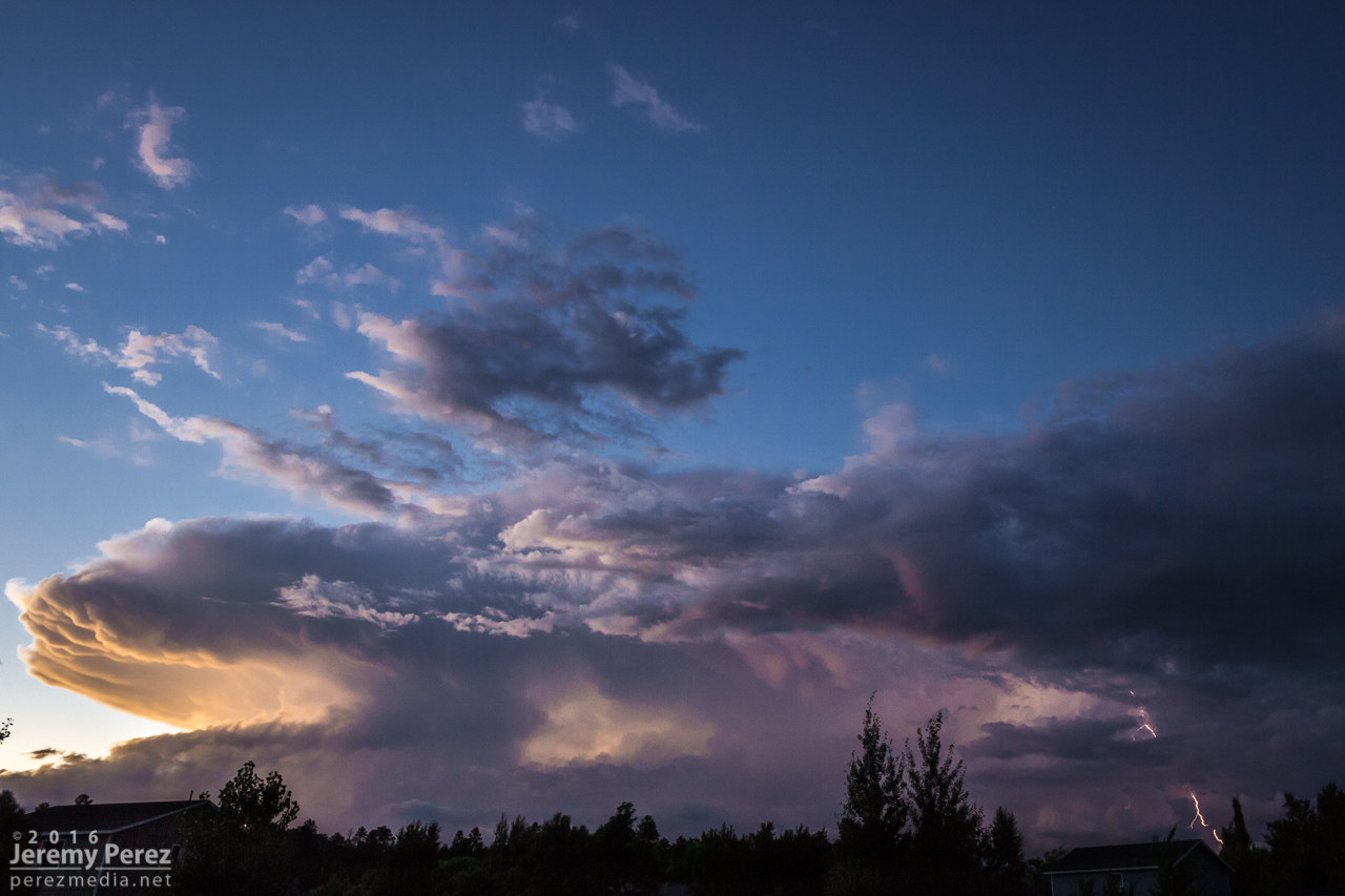
Nocturnal storms moving in from the southwest sent me up to Sunset Crater National Monument for a try at some shots. CGs were very reluctant as the storms weakened on approach. I still wound up with some rim lighting on the cloud base as a consolation.

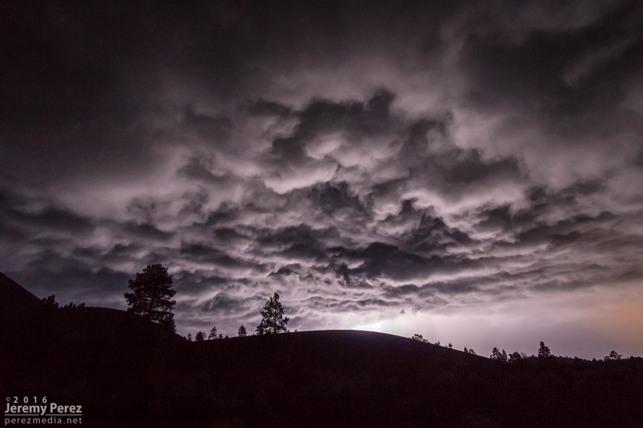
Nocturnal lightning display at Sunset Crater National Monument - 0908Z

21 August

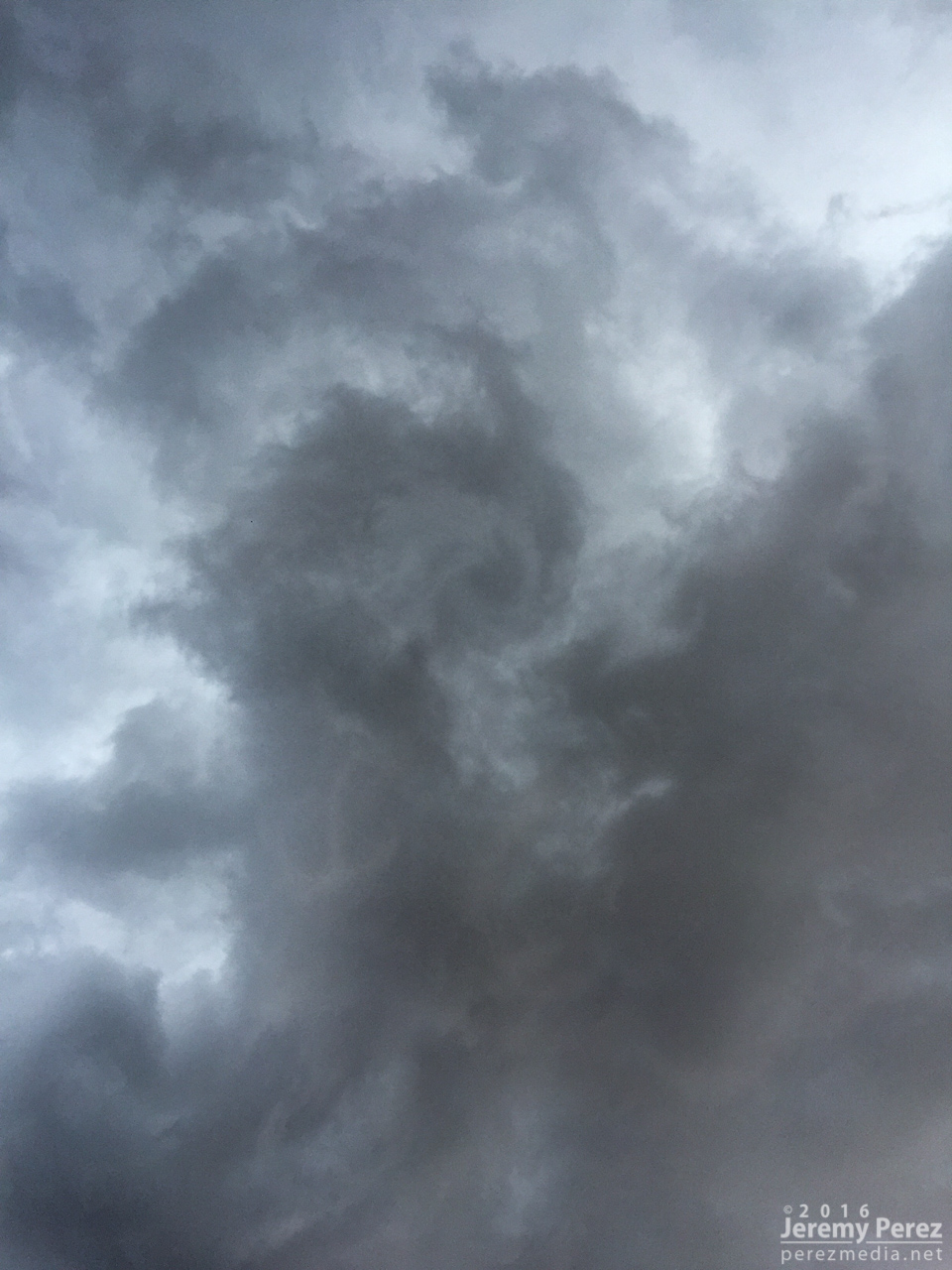
No storm chasing going on here, just spontaneous German Shepherds in the sky.

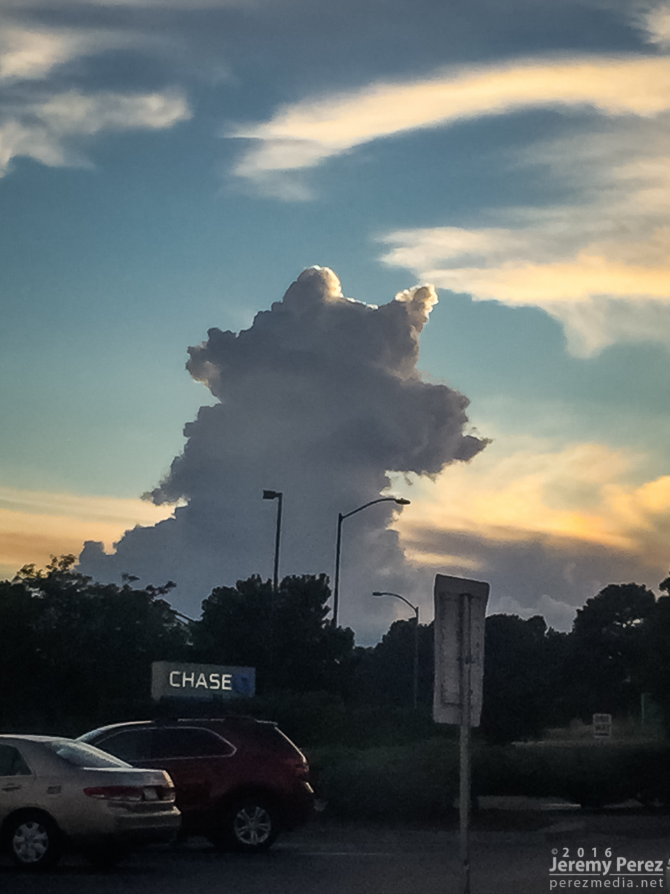
Convection or dog with a stick from east Flagstaff - 0152Z

26 August

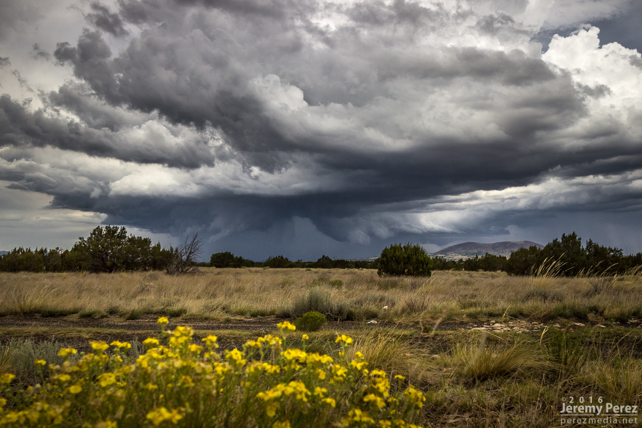
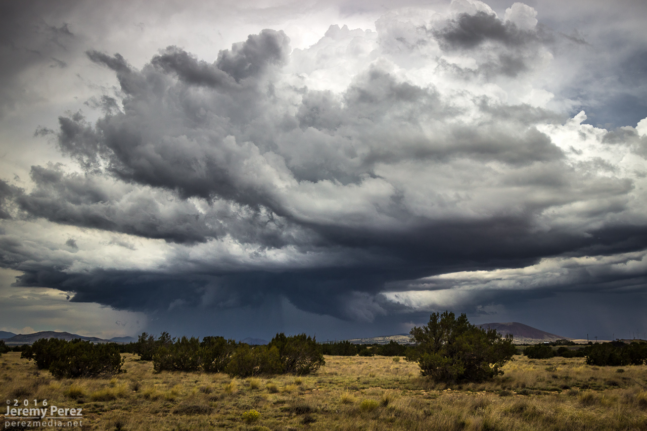
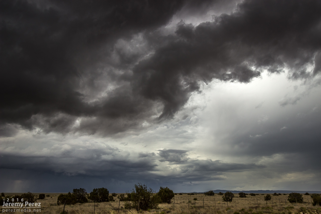
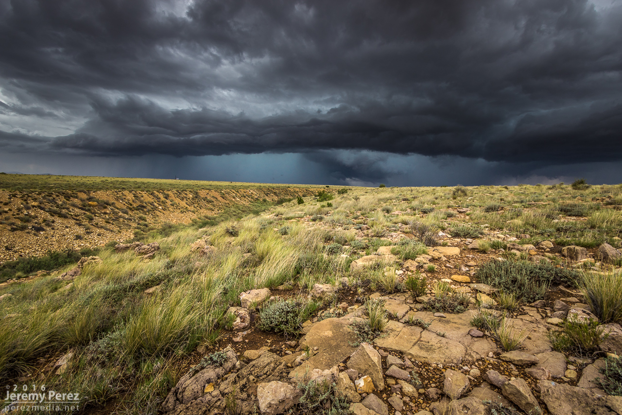
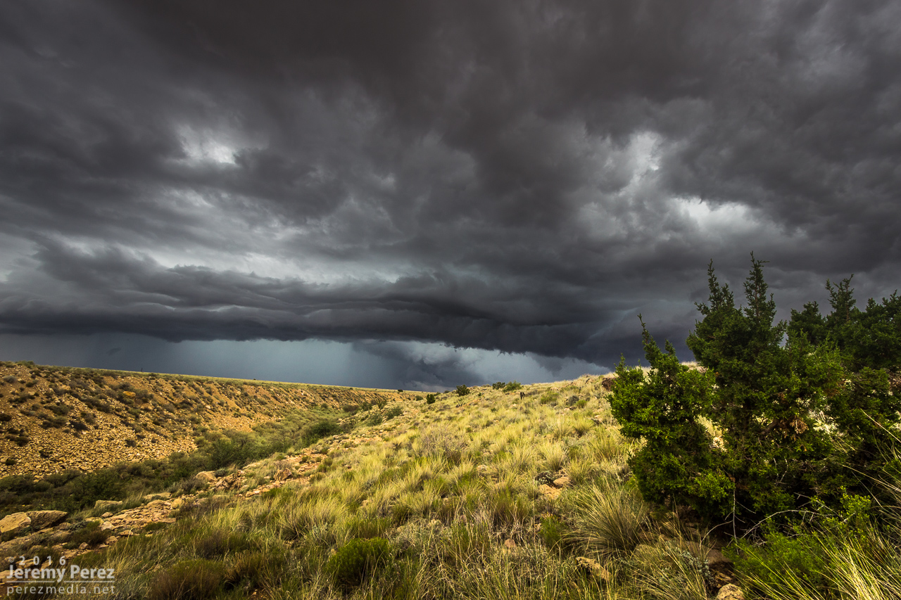
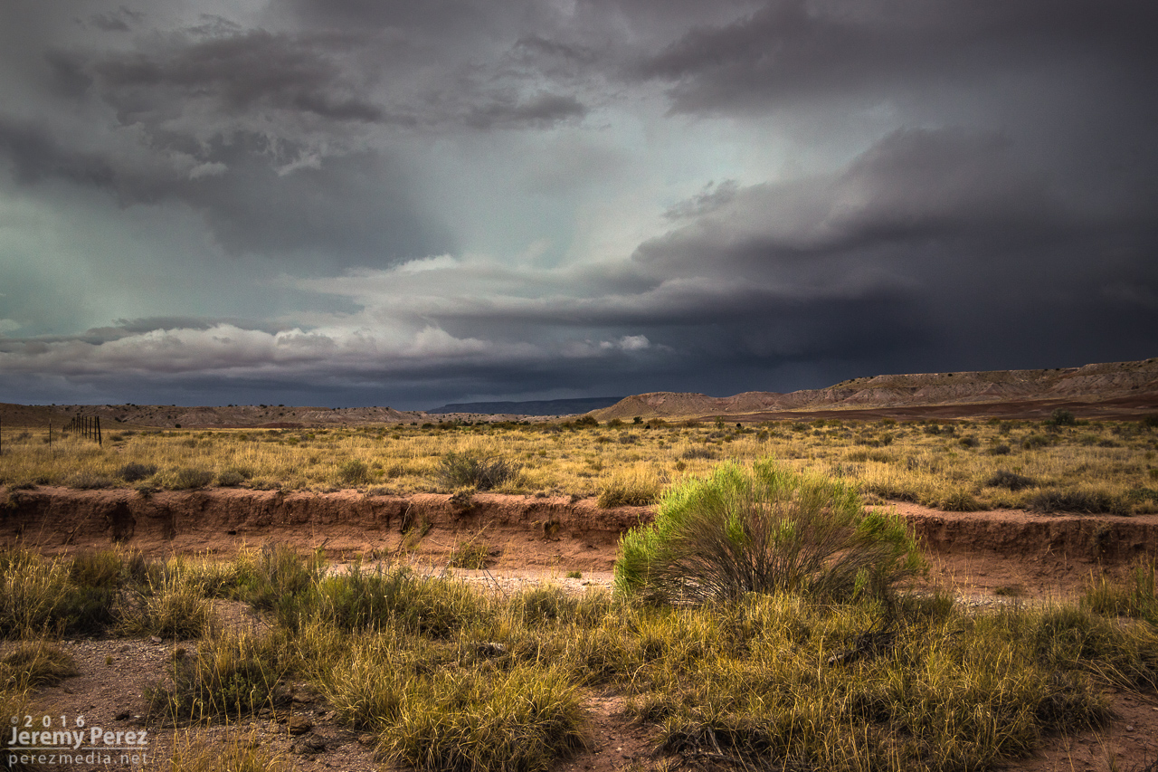
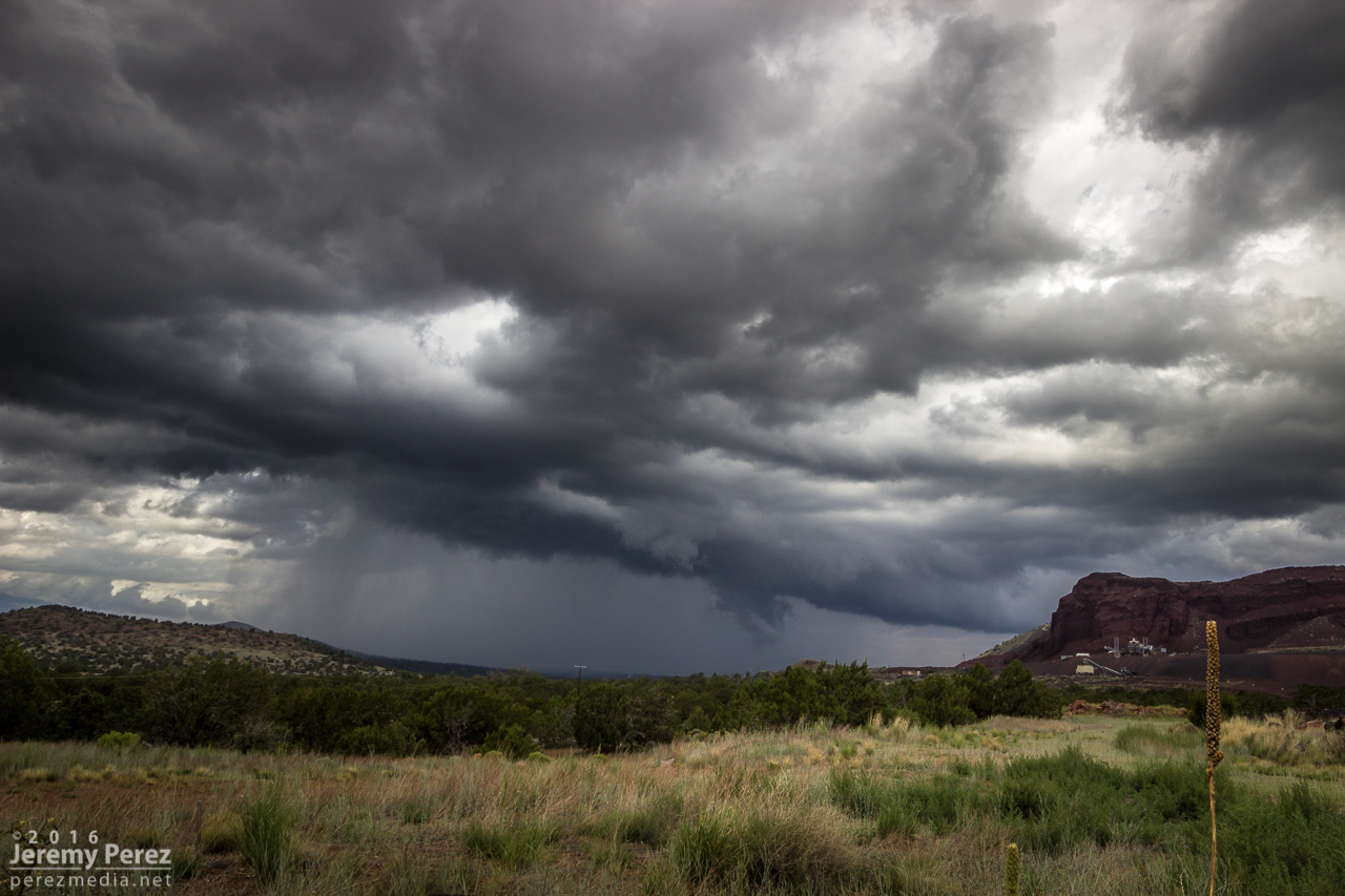
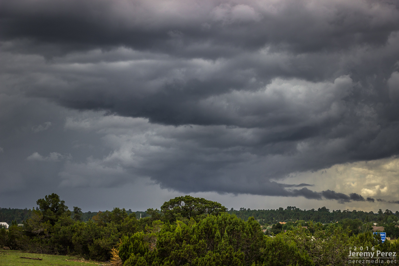
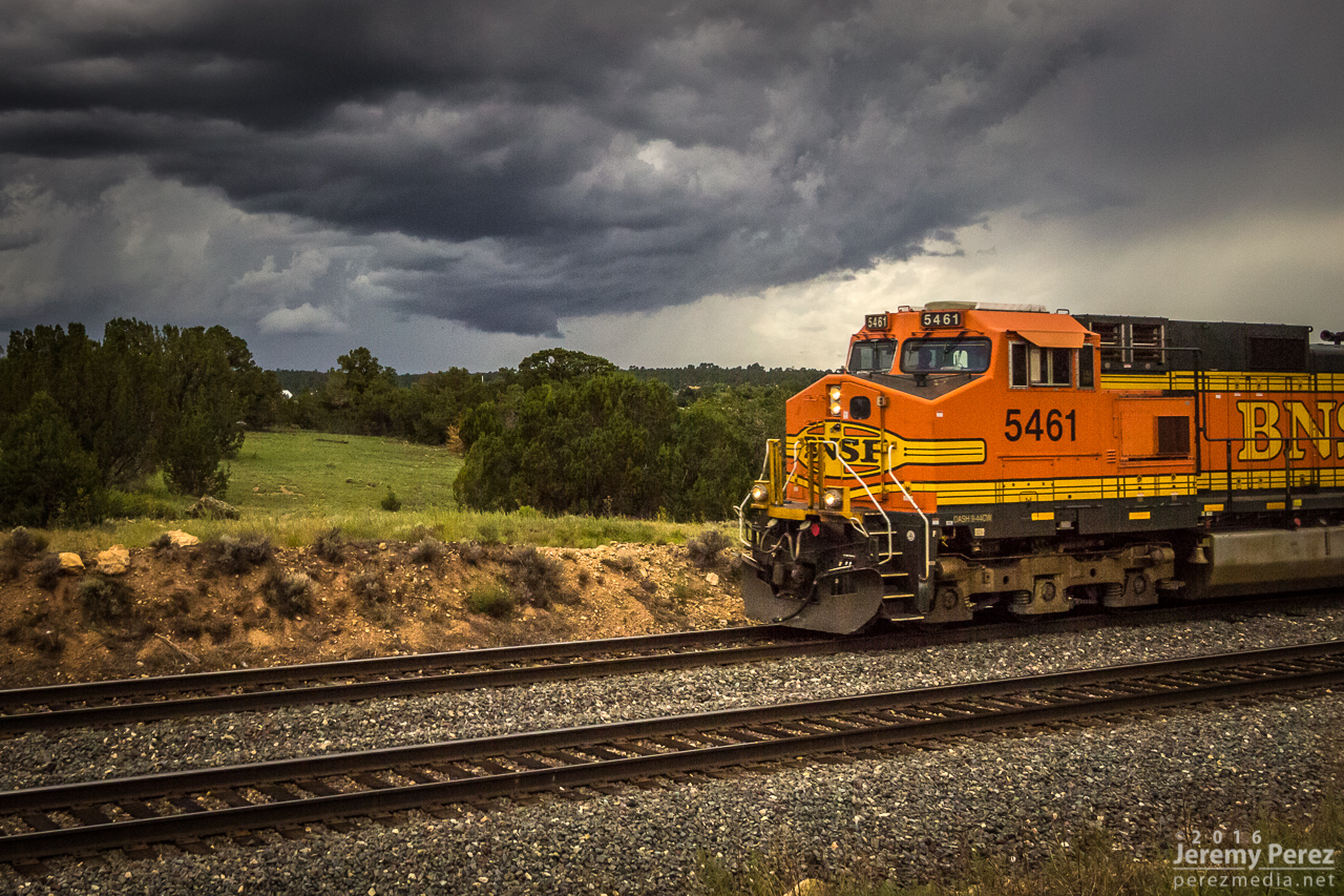
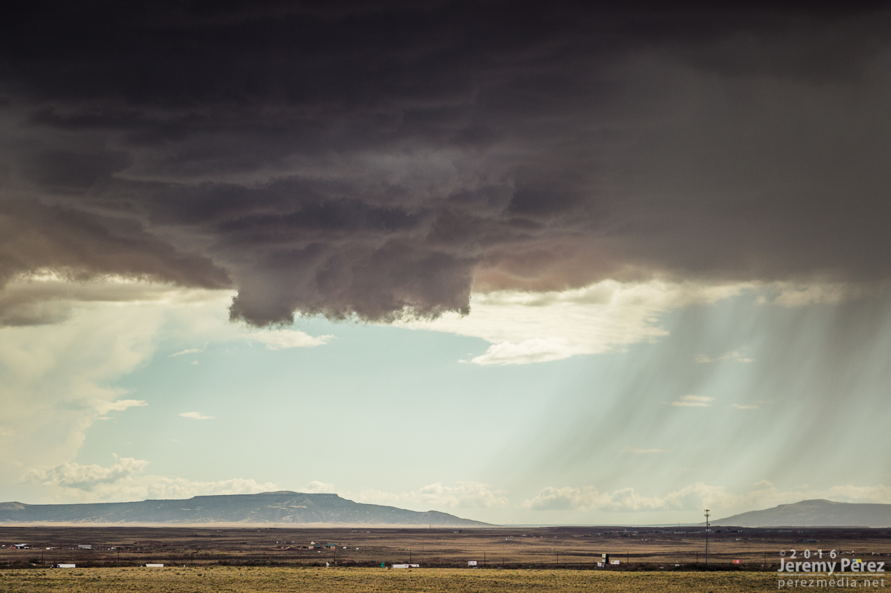
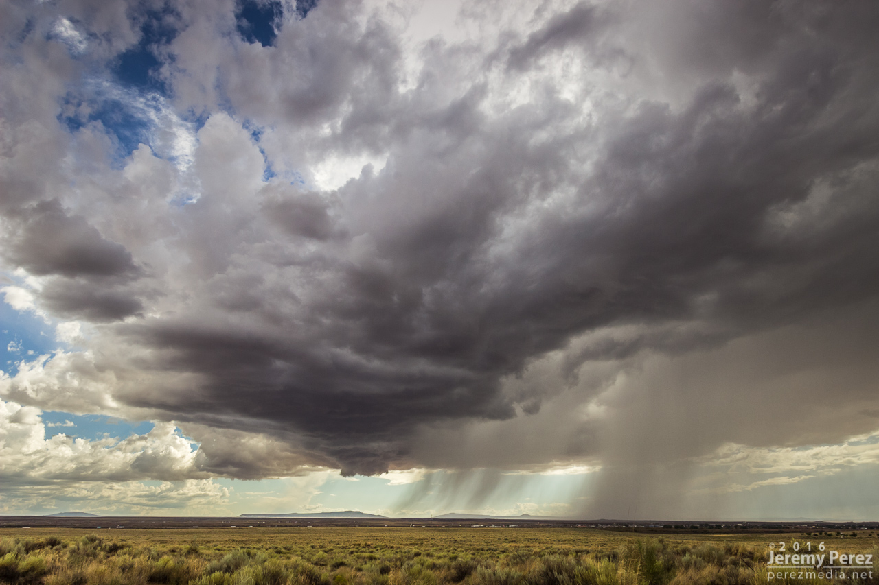
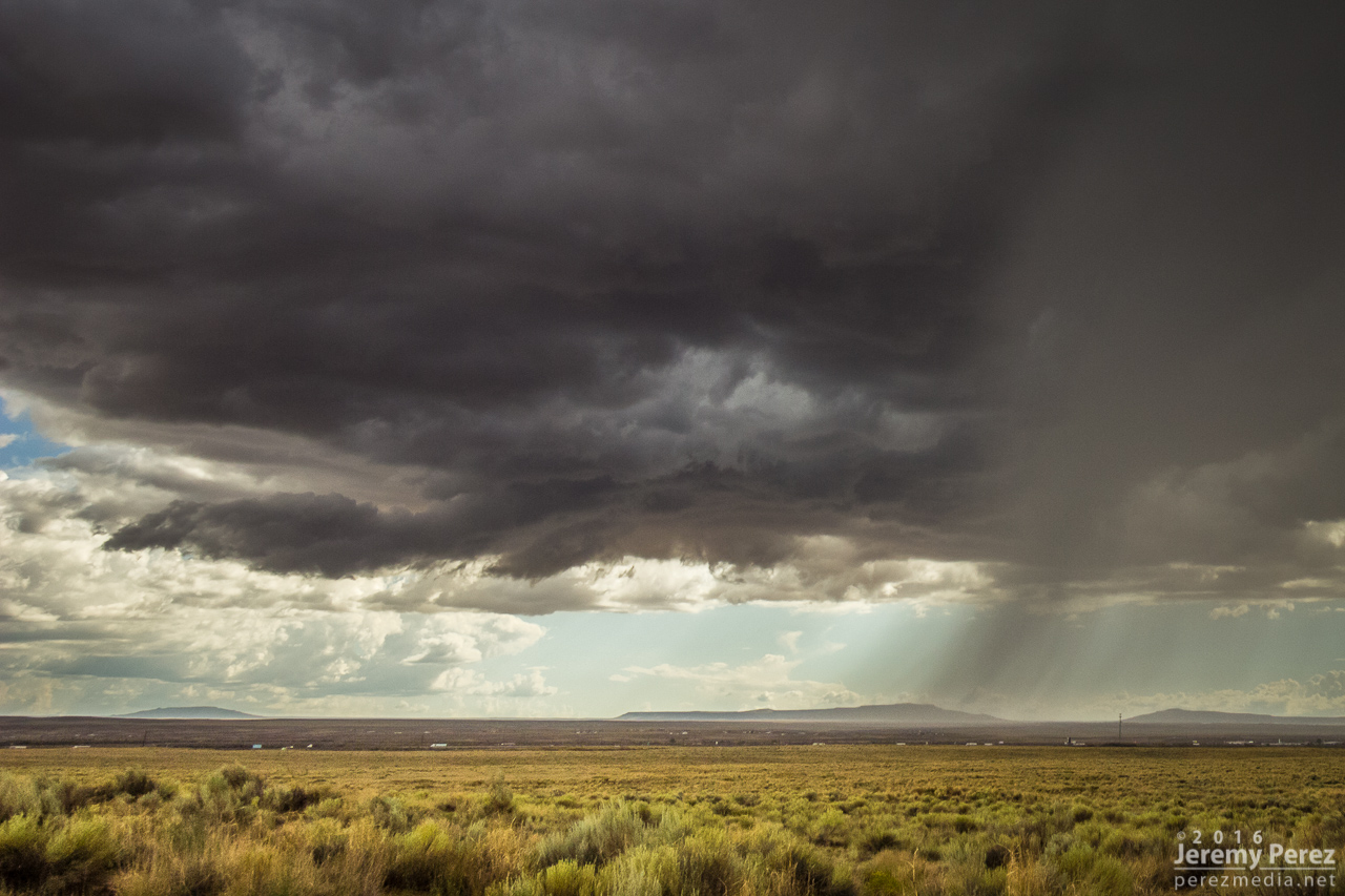
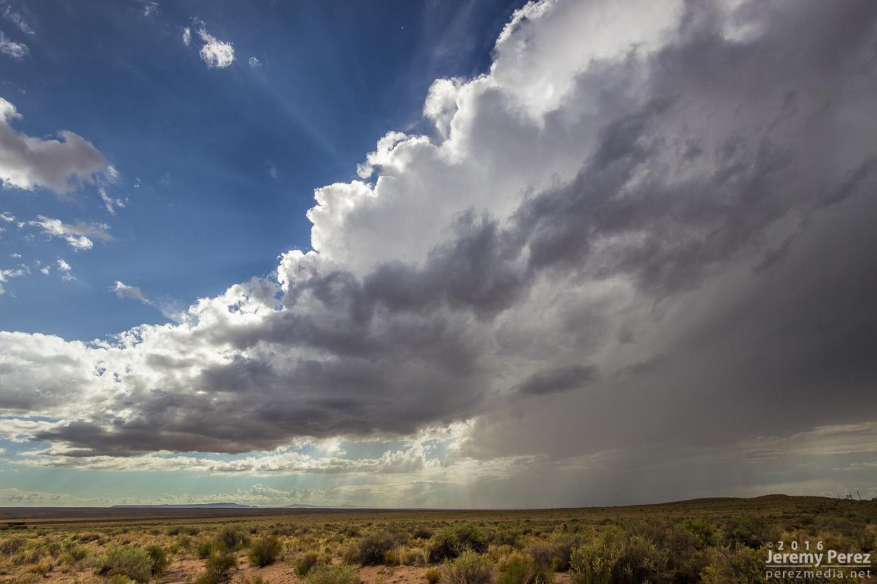
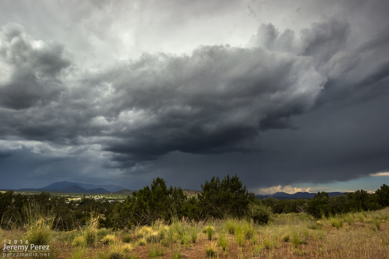
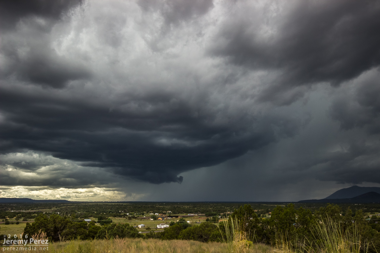
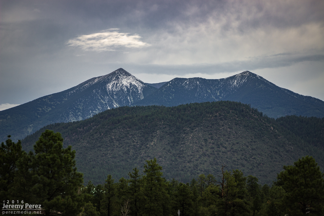
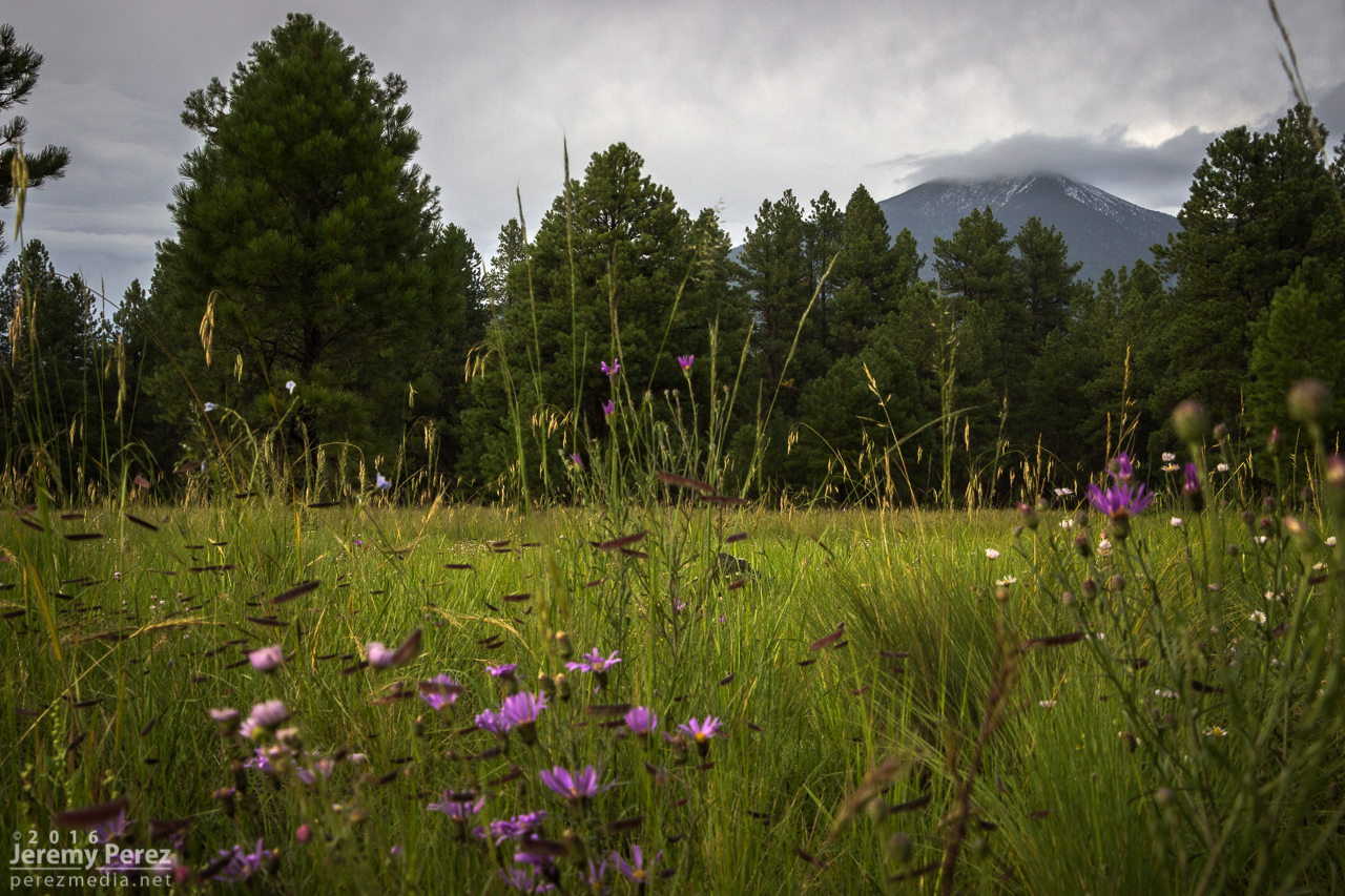
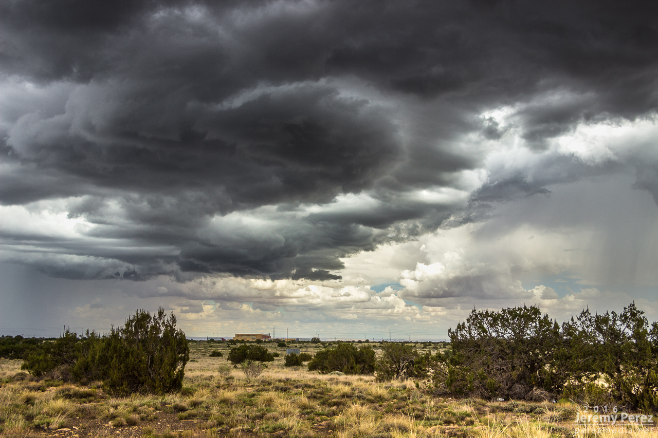
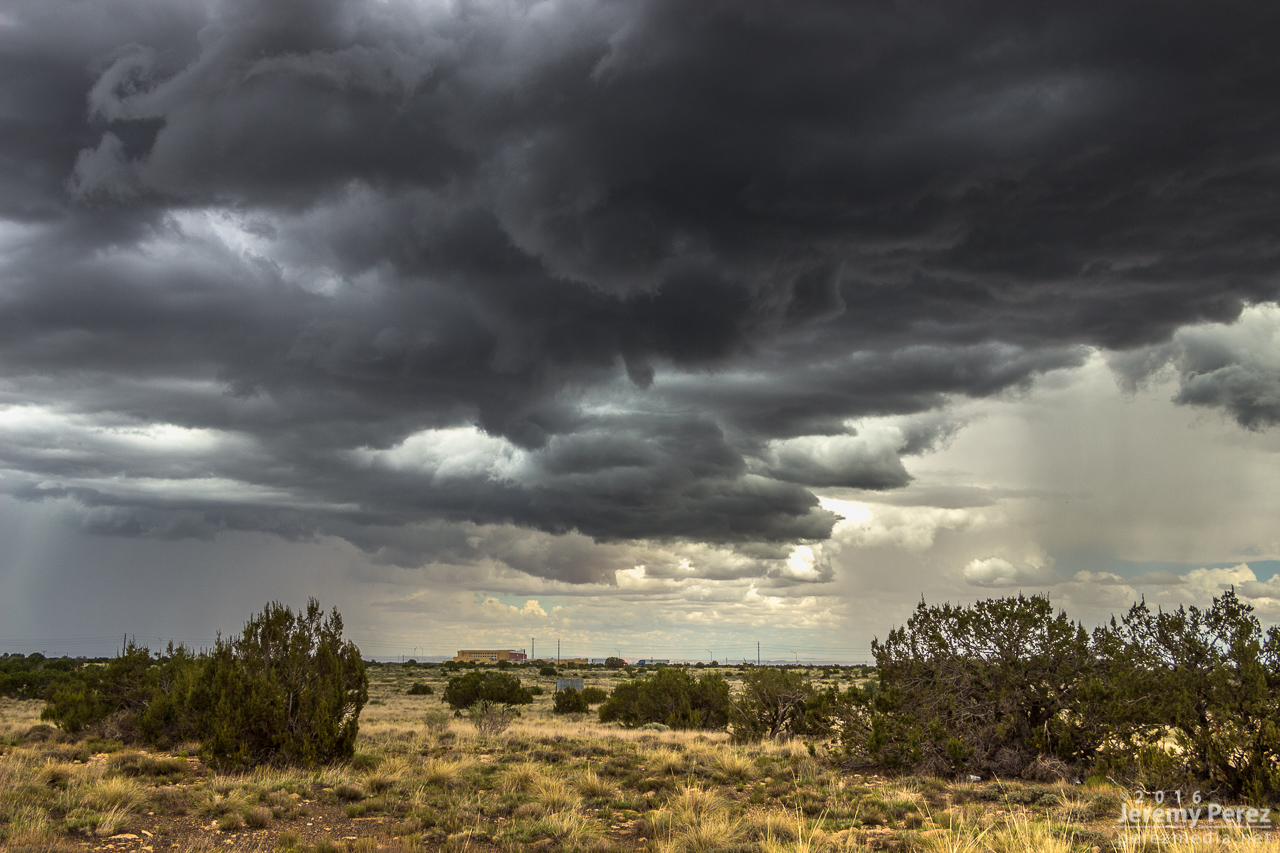
Another day of southwest flow had me out at the Winona/I-40 exit shooting some time lapse photography. As a strong storm set up over Flagstaff. This one picked up a weak (~14 mph radial velocity), pulsey velocity couplet through 4 slices for about 20 minutes. Not enough to qualify as even a minimal mesocyclone. Structure, as far as Flagstaff storms go, was pretty nice and it covered the San Francisco Peaks in a white cap of hail. I drove further east to Buffalo Range Road and got a look at a pretty nice shelf moving in. It was interesting to watch the time lapse on that as a northbound gust front interacted with it and sent a cool whirl along the shelf.

Sheared convection east of Flagstaff looking north from Winona/I-40 exit - 2002Z

Storm building over Flagstaff looking west from Winona/I-40 exit - 2010Z

2019Z

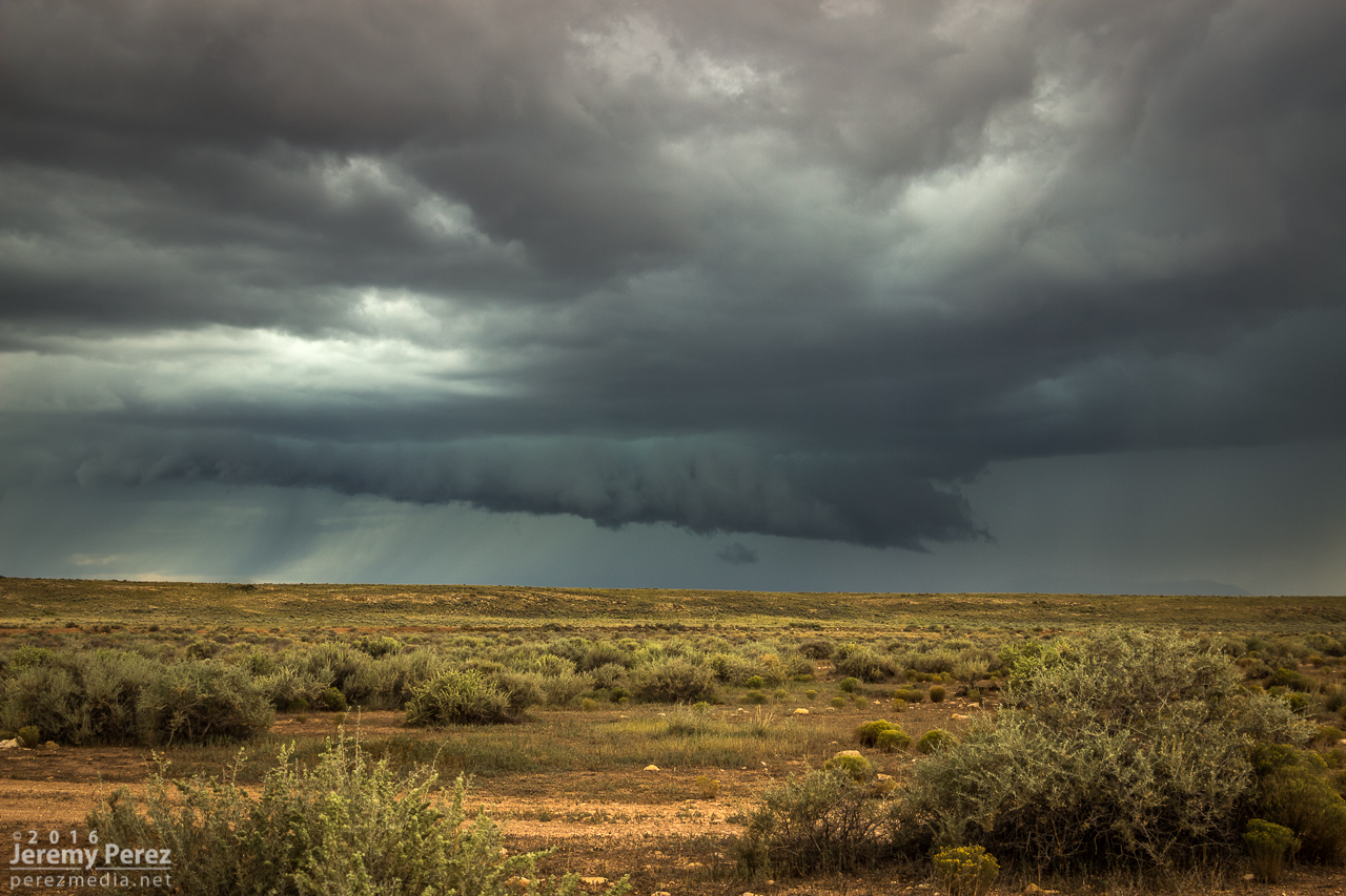
Shelf cloud looking west from Buffalo Range Road/I-40 exit - 2103Z

Hail on the San Francisco Peaks from Hwy 180 west of Flagstaff - 0035Z
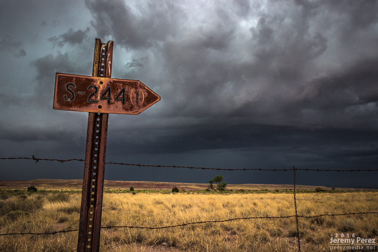
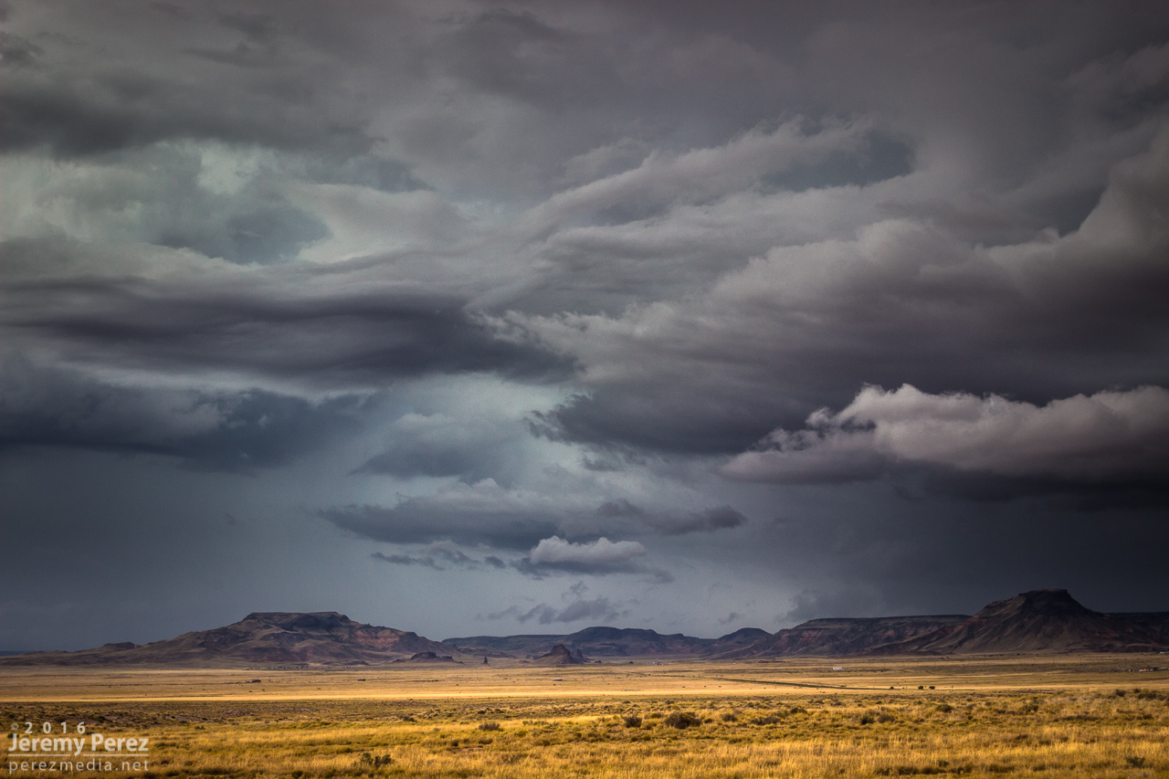
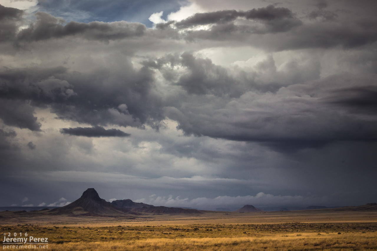
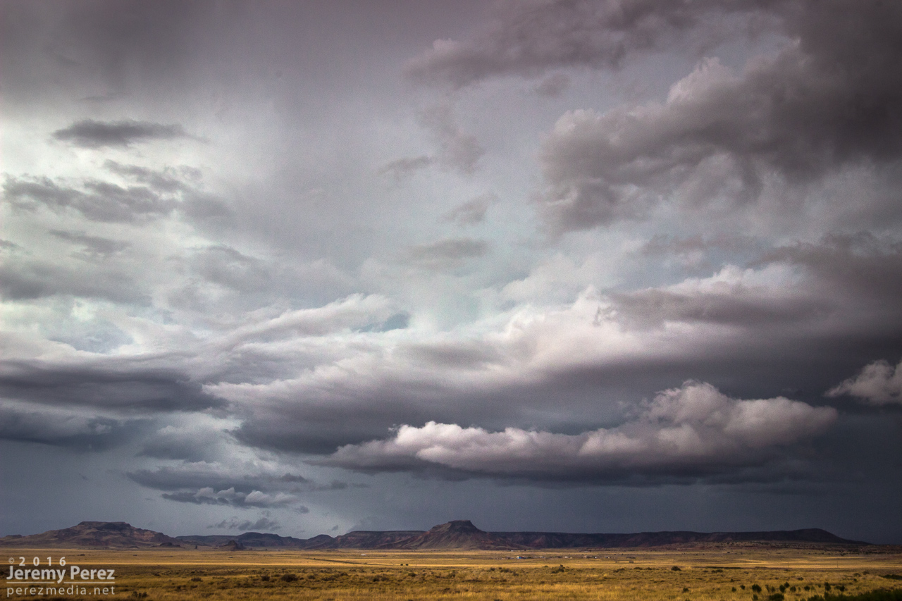
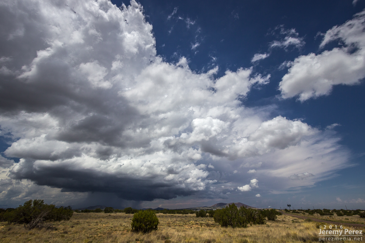
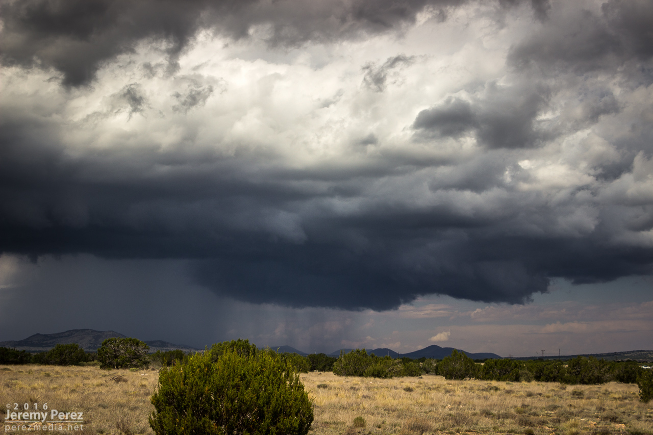
2 September

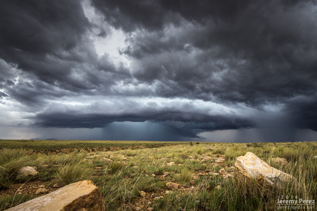
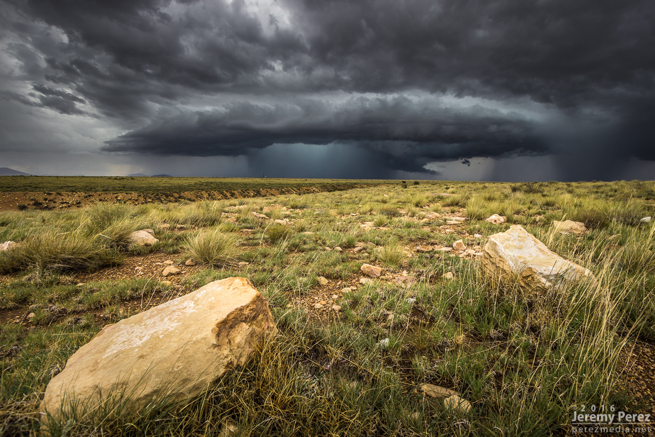
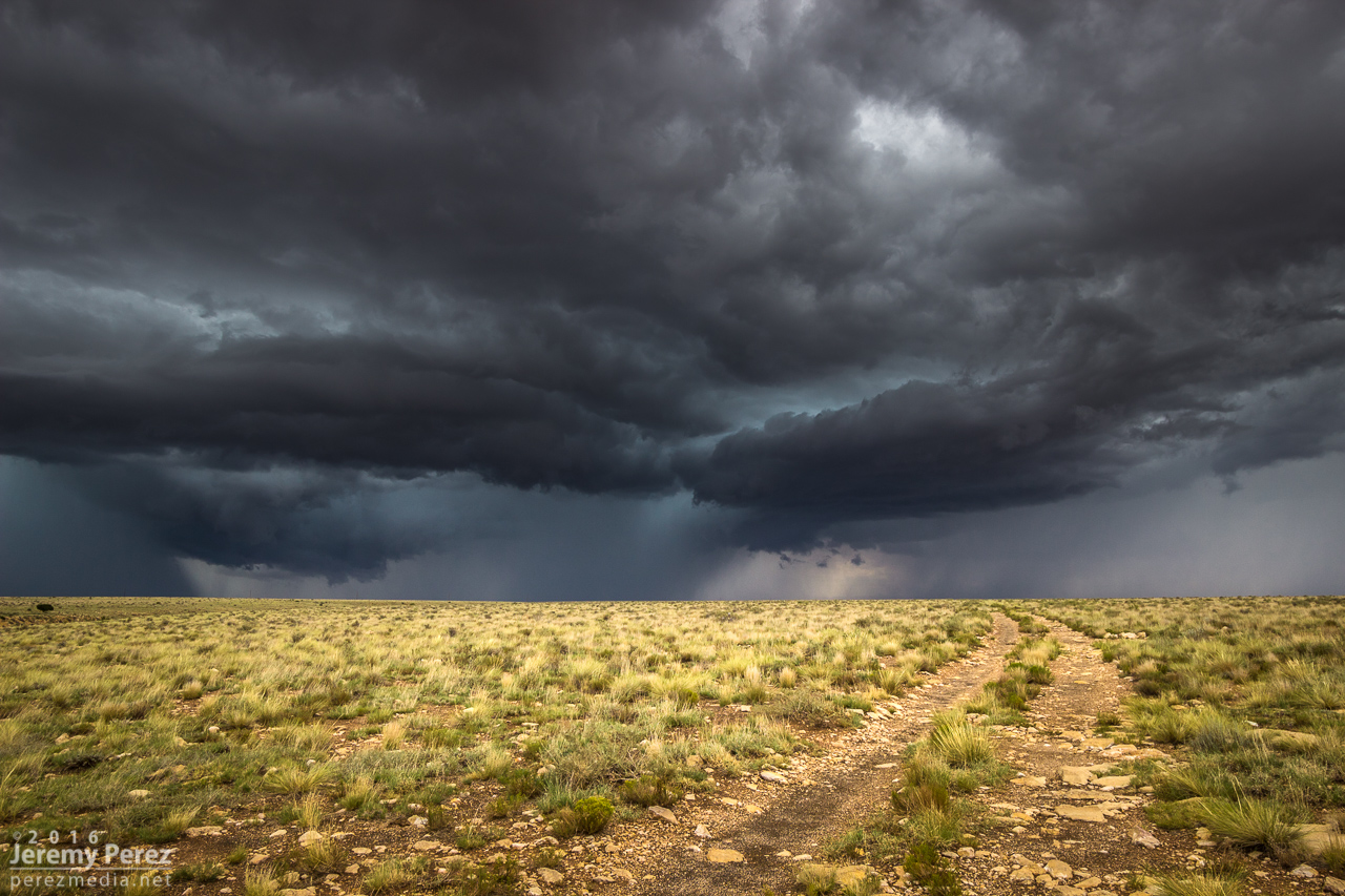
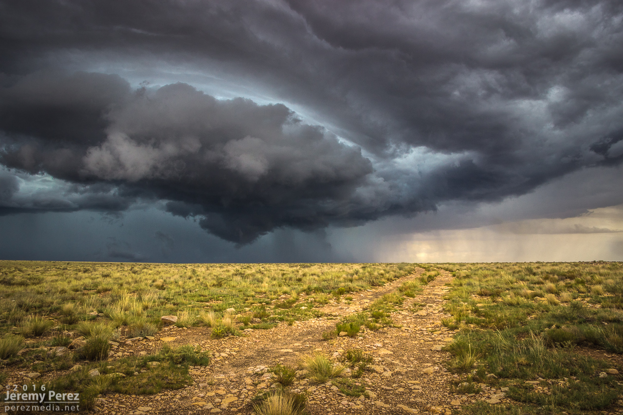
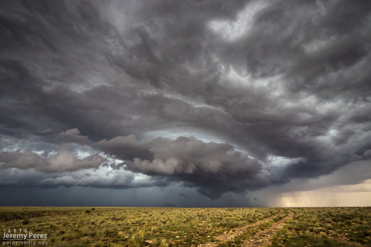
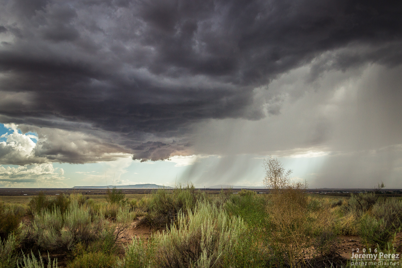
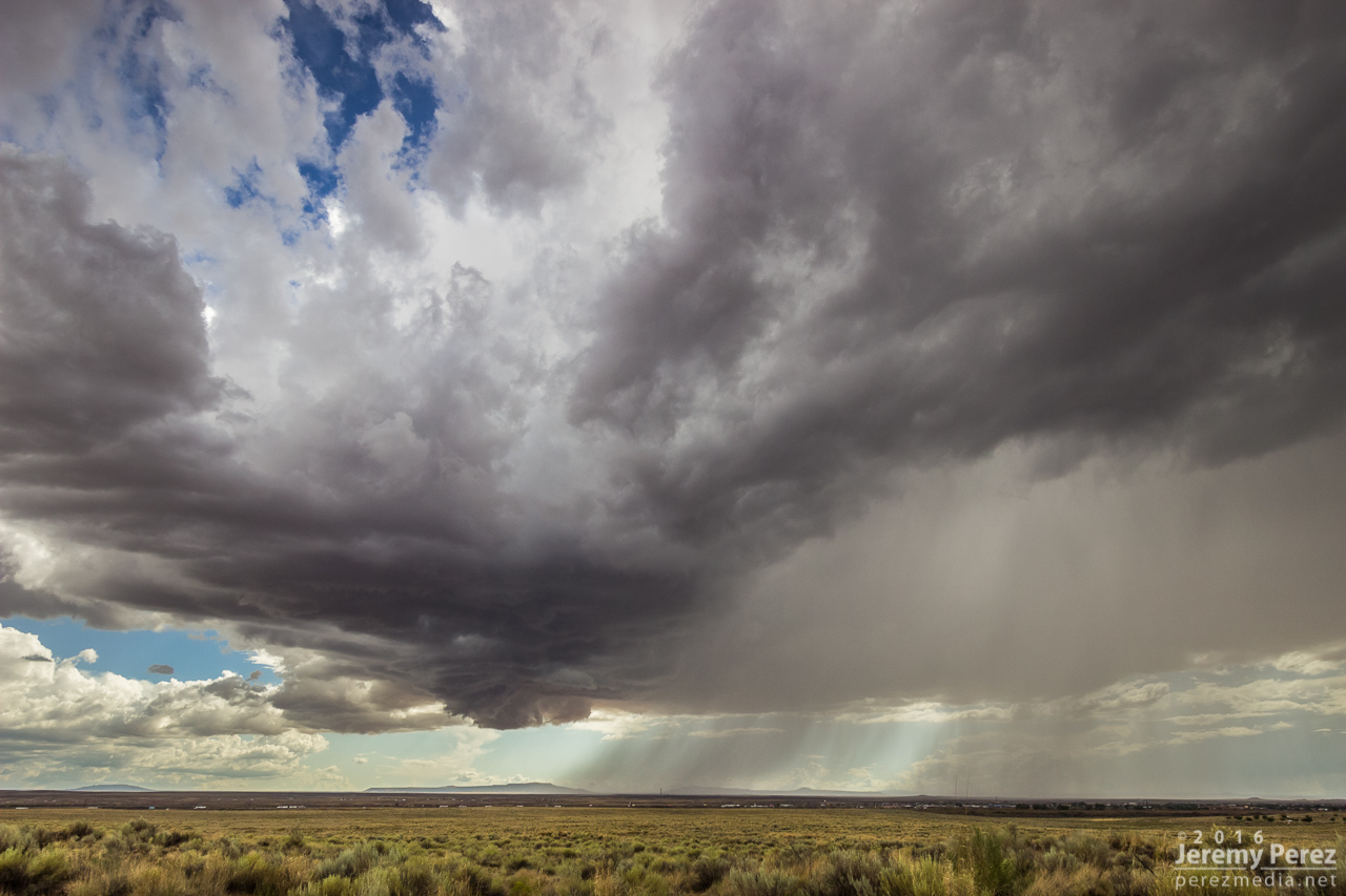
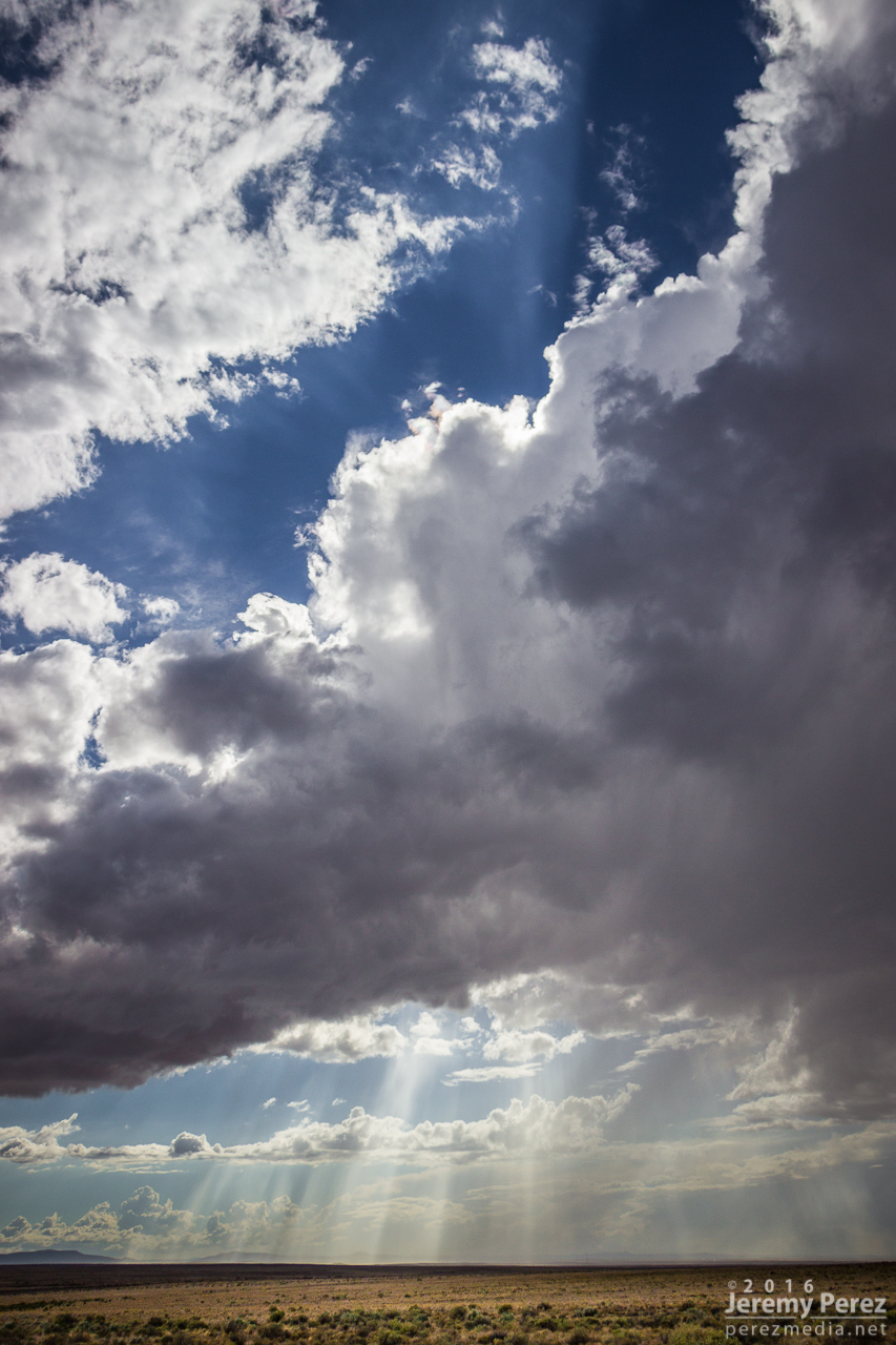
One more southwest flow day back out at Twin Arrows to watch for the occasional shelf or lowering near Merrill Crater. As convection filled in southward, a building gust front loaded up with meshing gears of vorticity to wrap up the time lapse.

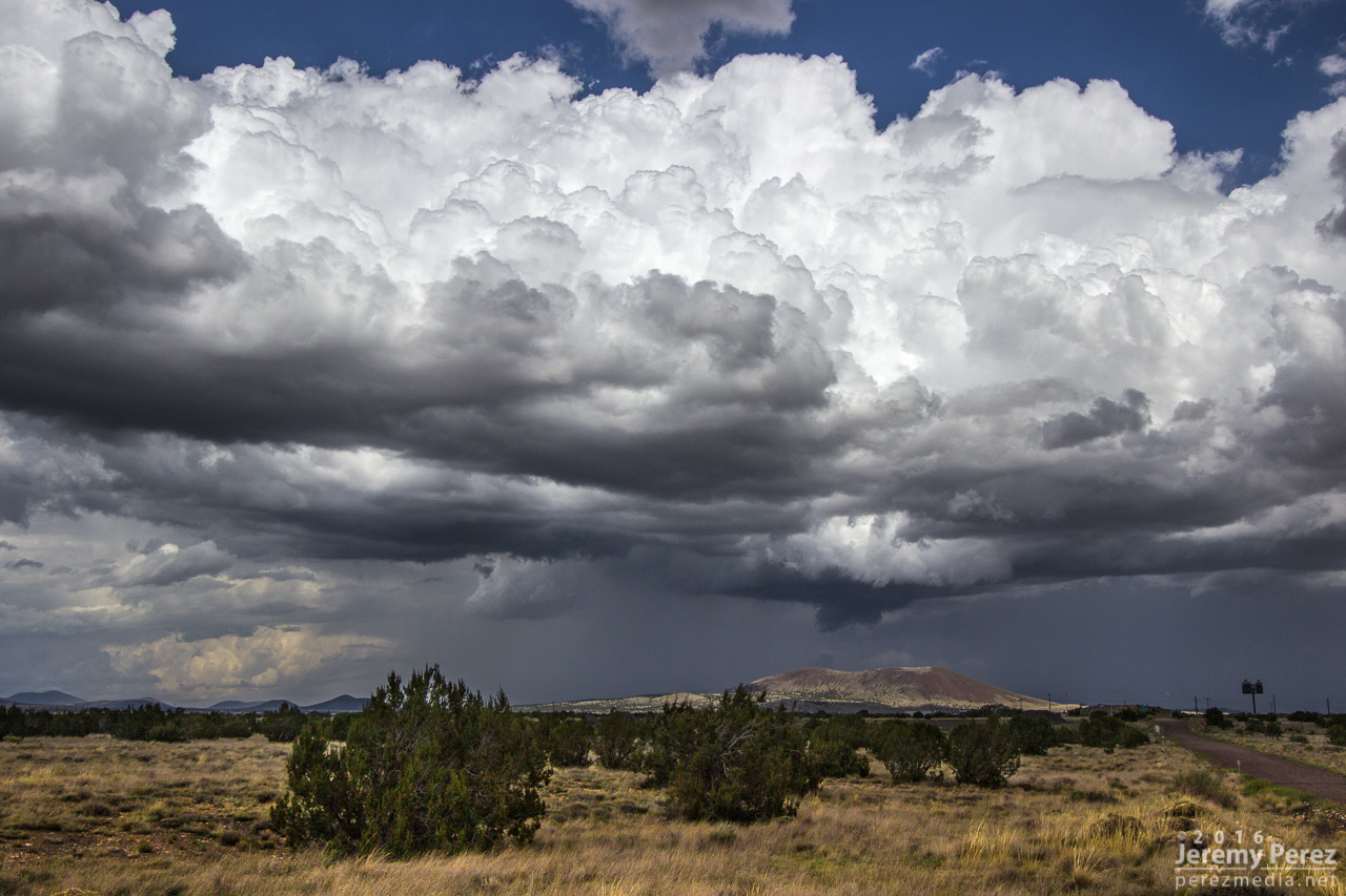
Convection and lowering north of Twin Arrows/I-40 exit - 1833Z

No landspouts, just galaxy cores overhead - 1958Z

Passing convection and gust front looking northeast from Twin Arrows/I-40 exit - 1904Z

1911Z

A few days in early August gave me opportunities to intercept monsoon thunderstorms along the Mogollon Rim Convergence Zone during southwest flow. The 5th, 6th and 10th of the month served up some nice ones. I’m not getting too detailed with these, or else I’ll never get around to posting the pics.

5 August

Around noon, I followed a strong cell east out of Flagstaff as it drifted along north of I-40. I managed some time lapses south of the Twin Arrows/I-40 exit as it was draping a shaggy shelf cloud around its core. I paced it further east to Buffalo Range Road where it ran into a boundary being laid down by another line of north-south convection to the east. The interaction worked some beautiful structure into the updraft of the original cell before it merged, mushed and gusted out. I tried for some more convection further north on the AZ-87 toward Dilkon. Nothing strong materialized, but the landscape was stunning against the tattered sky.

Flaring shelf cloud north of Twin Arrows - 1924Z

1924Z

1925Z

Debris clouds east of Twin Arrows - 1937Z

Northbound convection looking east from Buffalo Range Road & I-40 - 1954Z

Eastbound convection looking north from Buffalo Range Road & I-40 - 1954Z

1955Z

Gust fronts beginning to merge - 1958Z

1959Z

2000Z

Enhanced structure as interaction strengthens eastbound cell - 2011Z

2013Z

Disorganized convection southeast of Dilkon - 2113Z

2114Z

2122Z

2123Z

2123Z

2132Z

6 August

Another noon chase, and another cell drifting east out of Flagstaff. This one was over Doney Park with a severe warning when I first got on it. The warning soon dropped off and I ran some more time lapse ops on the structure at Twin Arrows again. Later that evening while visiting friends, a pair of cells popped up north of the San Francisco Peaks. The sun was setting and casting a mellow light on the anvil and updrafts as lightning moved around their innards. A few bolts snuck a peek outside the clouds, but I only caught a couple while shooting the time lapse sequence.

Severe-warned storm over Doney Park as seen from Winona & I-40 - 1903Z

Looking north from Twin Arrows & I-40 - 1936Z

1936Z

Twilight storms north of the San Francisco Peaks from Doney Park - 0239Z

0253Z

10 August

Some tropical storm moisture and a Pacific low overlapped a bit over northern Arizona, and I headed east once again for a look. My first view was from east Flagstaff of a cell to the southwest over Kachina Village. Although the base was strung out, it was still decent by Arizona standards as it played at displaying some tail cloud characteristics. After that dissipated, I got east on I-40 and hung out at Homolovi State Park for a while, grabbing time lapse as a new cell got going southwest of Winslow. This one sported some more beautiful structure as the orange landscape reflected up onto the base of the storm. Bryan Snider and his wife Monika showed up and we shot some time lapses together as the storm grew a lowering and grumbled at us. We got ahead of it as the rain moved in and watched from Hibbard Road as it withered and sheared away. Later that night, another round of convection slowly moved up from Verde Valley and gave an opportunity for some nighttime lightning photography at Sunset Crater National Monument. Not a lot of nearby CG activity as the storms weakened by this point, but still some good under-cloud illumination against the cinder hills and ponderosas.

Cell over Kachina Village as seen looking southwest from east Flagstaff - 2010Z

2014Z

Lowering on a new cell over Winslow as seen from Homolovi State Park - 2302Z

2302Z

2303Z

2307Z

2316Z

Sheared convection looking west from Hibbard Road & I-40 - 2331Z

2336Z

2337Z