11 August
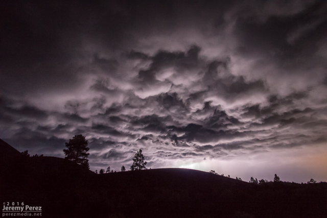
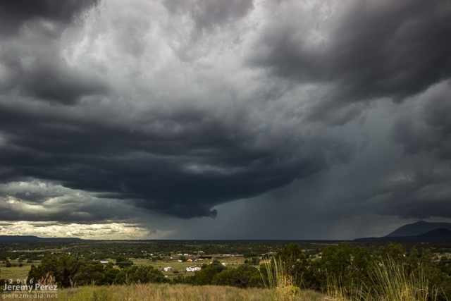
Nocturnal storms moving in from the southwest sent me up to Sunset Crater National Monument for a try at some shots. CGs were very reluctant as the storms weakened on approach. I still wound up with some rim lighting on the cloud base as a consolation.
21 August
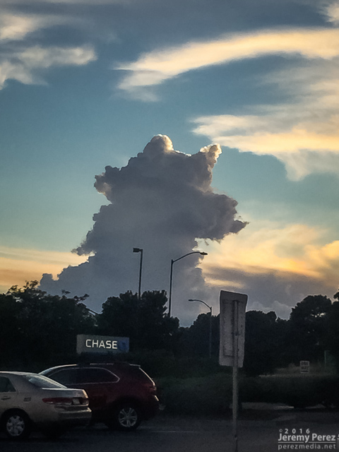
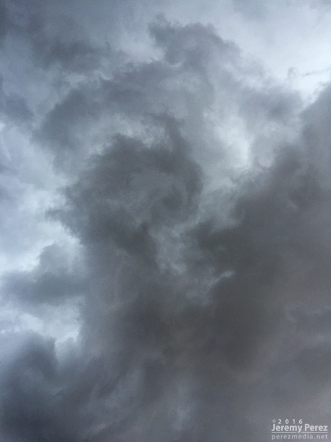
No storm chasing going on here, just spontaneous German Shepherds in the sky.
26 August
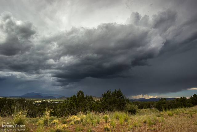
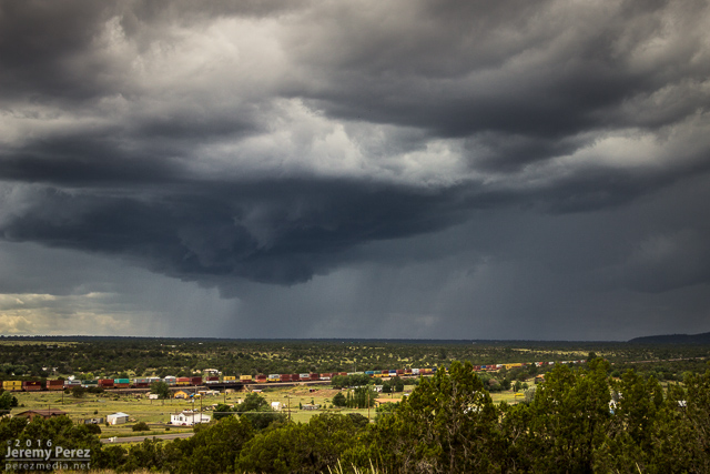
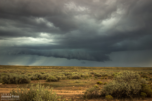
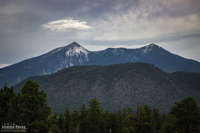
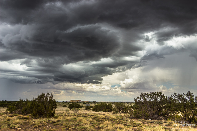
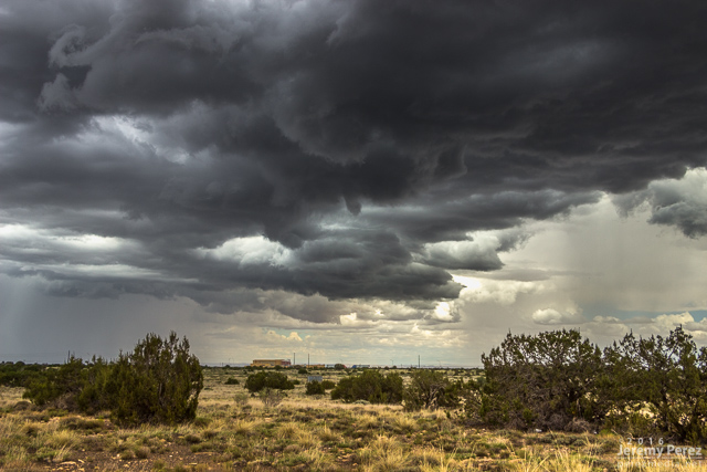
Another day of southwest flow had me out at the Winona/I-40 exit shooting some time lapse photography. As a strong storm set up over Flagstaff. This one picked up a weak (~14 mph radial velocity), pulsey velocity couplet through 4 slices for about 20 minutes. Not enough to qualify as even a minimal mesocyclone. Structure, as far as Flagstaff storms go, was pretty nice and it covered the San Francisco Peaks in a white cap of hail. I drove further east to Buffalo Range Road and got a look at a pretty nice shelf moving in. It was interesting to watch the time lapse on that as a northbound gust front interacted with it and sent a cool whirl along the shelf.
2 September
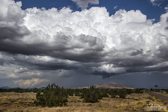
One more southwest flow day back out at Twin Arrows to watch for the occasional shelf or lowering near Merrill Crater. As convection filled in southward, a building gust front loaded up with meshing gears of vorticity to wrap up the time lapse.
