We had some nice, strong convection develop over Flagstaff today. Instability was approaching 1000 j/kg and maybe a measly 15 kt of shear at best. Still, as I was heading back into the office after grabbing some lunch a little before noon, I noticed one of the developing cells was sporting a pretty sturdy lowering. I dropped lunch off at my desk and checked FGZ radar. The cell actually appeared to have a weak couplet associated with it. So I grabbed my camera and went out to get some photos.
For a pop-up monsoon storm, it was actually a real beauty. The lowering I saw earlier was still in place, and based on its position in the rain free base and relative to the precipitation core, I'd hazard to call it a wall cloud. Further up along the back of the rain free base, an inflow tail was pressed up against the core.
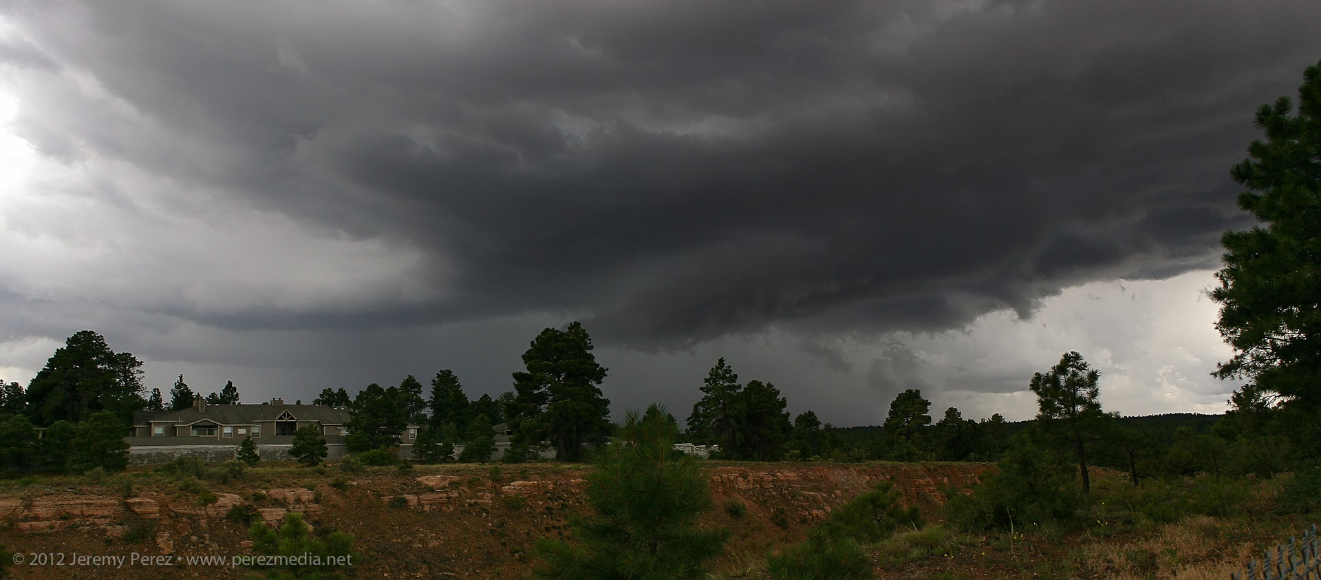
Monsoon thunderstorm structure southwest of Flagstaff - July 24, 2012 • 12:00 PM
As it moved eastward, it started to gust out and the inflow lowering became shelfy--and probably looked pretty menacing to anyone closer to the base.
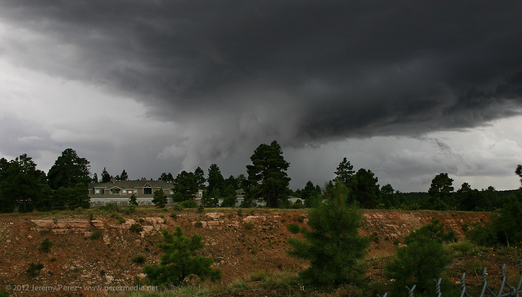
Storm gusts out and produces a low hanging shelf - July 24, 2012 • 12:03 PM
This link will take you to a 1.6 Mb animated GIF image of the storm
