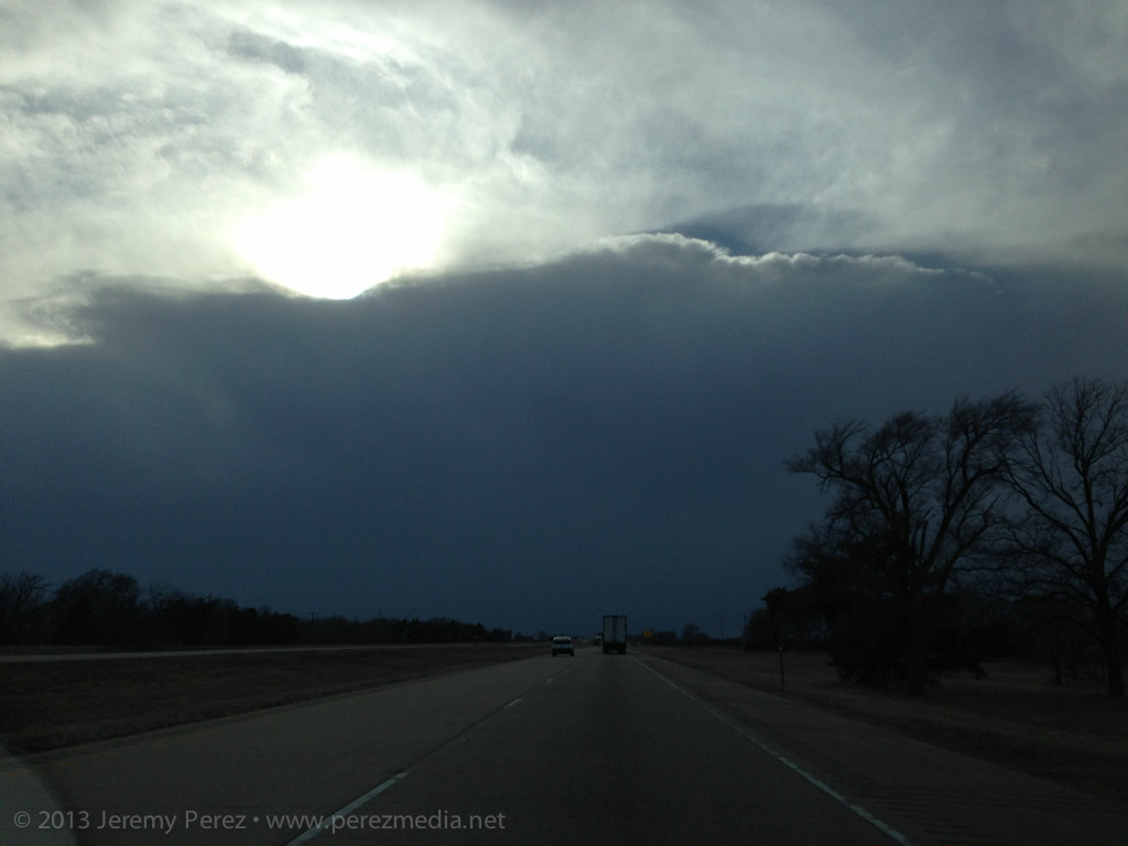
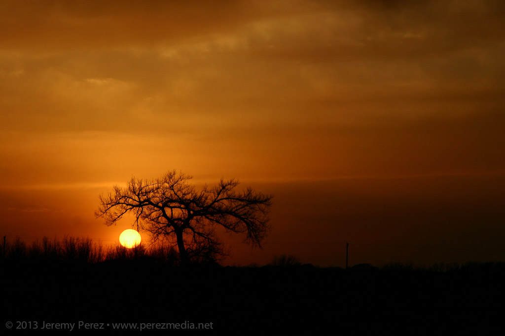
A forecast shortwave, 1000+ J/kg of CAPE, and directional shear supportive of supercells along a northwest-southeast boundary brought us to central Texas on Tuesday. We got a late start heading out of Elk City, but arrived near Lometa just in time to watch the first convection go up to the west of us.

Convection fires west of Lometa, Texas
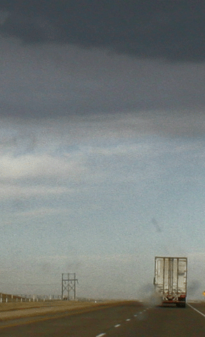
The lead cell was gaining strength, but still linear in appearance, and we positioned ourselves along US 183 thinking that it would cross the highway just to our west. The leading edge of the storm was hitting the boundary and getting demolished--pretty strikingly actually. I figured it was dying out, and we'd wait for another cell to try it's hand. I gradually realized that the lead cell wasn't shriveling up and dying, it was just dropping its wasted, linear, northern edge and mashing up its inflow on the boundary, taking root and gaining strength.
Trees and precipitation were obscuring the base. So we quickly re-positioned further southeast and noted a nice, bell-shaped base had formed with good separation from the forward flank.
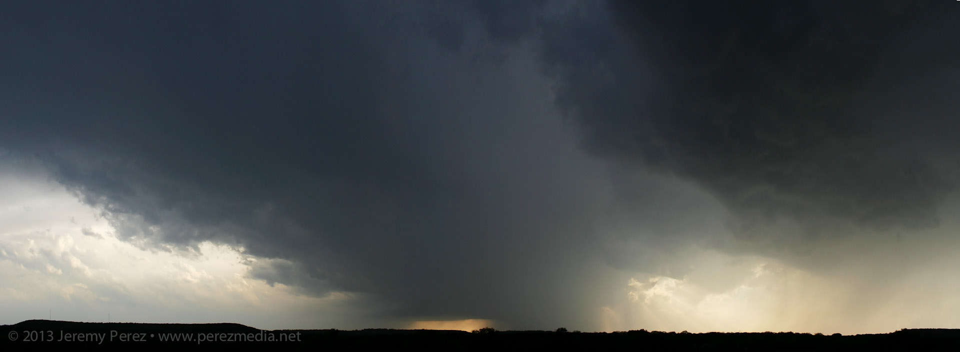
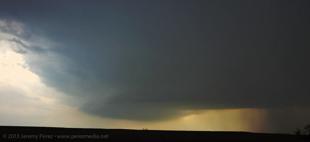
Supercell gains strength southwest of Lometa, Texas
I was also realizing that the road network was going to make positioning a struggle. We made our way to Rt. 580 and headed west to get closer, when the base started looking pretty gnarly. This was my first time intercepting a RFB along the fringe of the forward flank so I was having trouble picking apart the silhouetted structures through the precipitation. Just as I was making out the inflow tail, RFD and tattered wall cloud, a multi-vortex funnel took shape like cheese pulling off the tip of a slice of pizza.
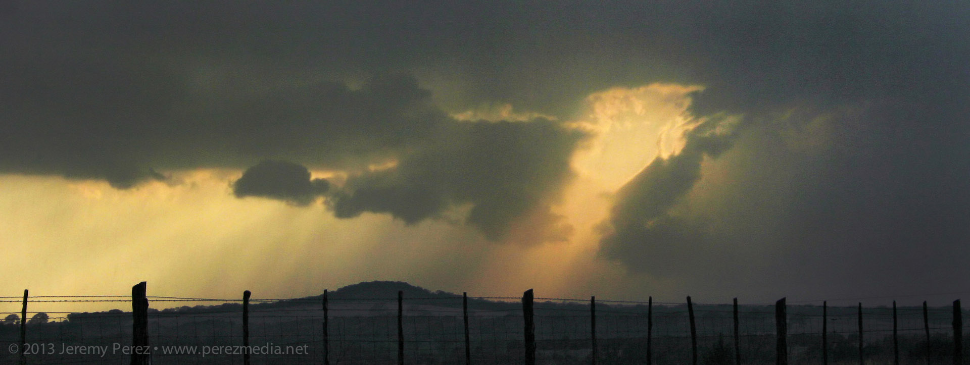
Tattered, complex funnel takes shape
The upper rope section was obvious, but it was attached to a heavier lower segment that seemed to be laminar in profile, so that might have been a chunky segment of the funnel. Hard to say for sure, unless someone closer has better shots with more dimension than mine.
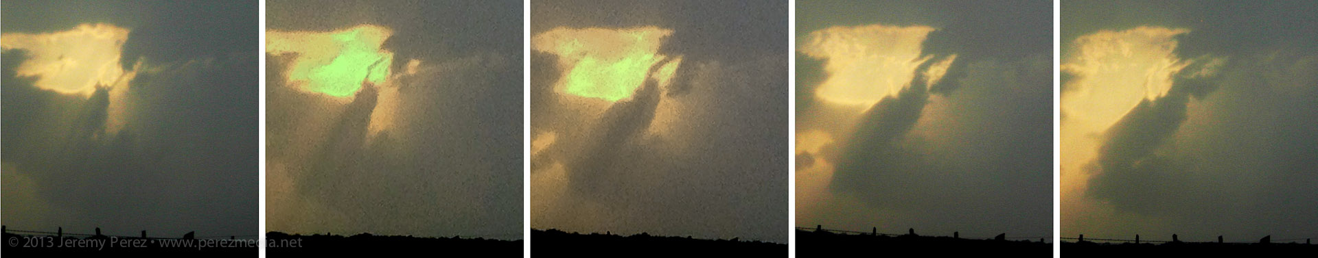
Funnel sequence
Video of funnel (Frustrated that I forgot to set the video camera focus to infinity)
We snagged a few shots and some video before it dissipated. As we drove back to the east, a new meso was spinning up to our south. After this point, the cycling and meso hand-offs were pretty steady and extremely impressive to watch in action.
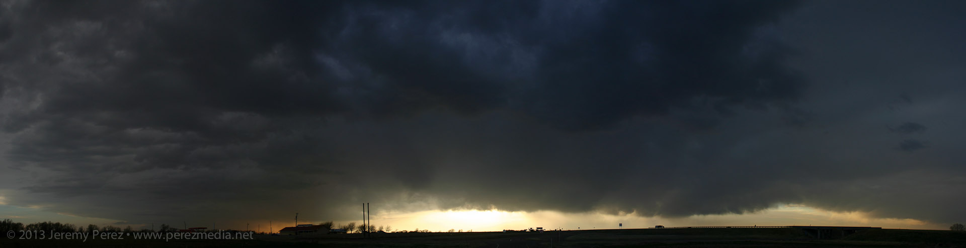
RFD gust front and shelf form under new meso south of Lometa, Texas
Keeping the rental car out of the hail on the sparse diagonal road network meant that we couldn't get back ahead of the hopscotching cycle-fest. We almost raced ahead of the third new bell-shaped base, but had to turn back when the marbles started hitting. But not before getting an awesome glimpse from the vault as the inflow and condensation raced in along the leading edge of the base.
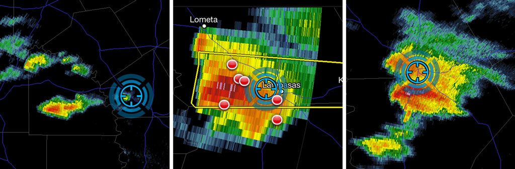
Reflectivity ofthe cell as it went from linear and appearing to die on the boundary (left) to nice supercell spitting out a funnel (center) to a cycling supercell that headed me off from getting back ahead of it (right).
It was a new positioning perspective and pretty exciting to be in that location, but also a bit frustrating with a car that I can't afford to get pinged. This was also my first experience watching a storm get forced into intense cycling by a boundary. I'm hoping a few others got some good shots and from better locations than I had!

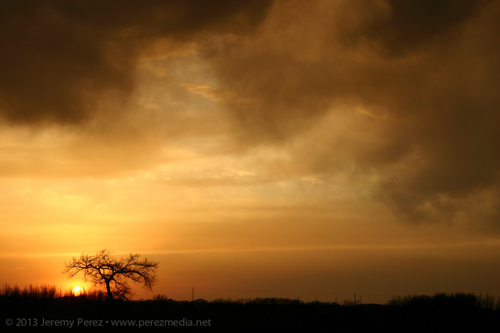
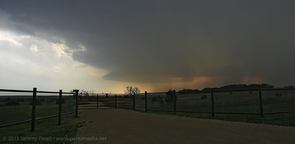
New rain free base forms near the horizon, south of Lometa, Texas