A shortwave crossing the Texas panhandle Sunday afternoon helped light up a line of elevated convection. We headed out from Elk City to hang out under the gust front and get some hopefully nice twilight photos. The line was severe-warned for a while with strong outflow gusts producing several reports in the western Panhandle. I wasn't expecting much more than a few photo opportunities.
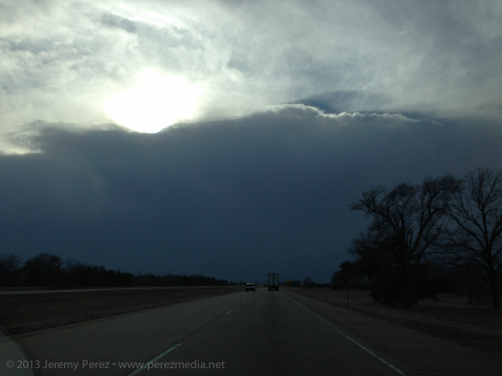
Driving west on I-40 toward the advancing line
After spending some time in the cool outflow, I noticed a rain-free base form east of us on the leading edge of the line. I figured it would look nice as the sun got further down and lit it up, so we headed east on I-40 to get ahead of it.
About the time we were getting near the outflow interface, we were surprised to see an amputated, chaotically spinning, gray rope of condensation materialize over the highway in front of us. It winked in and out, and then got a bit more persistent as it drifted from south to north. I didn't have perspective on the cloud base overhead to see if this might have been a fractured piece of a landspout, or if it was a gustnado. I'm interested on any thoughts about whether gustnadoes produce condensation funnels.
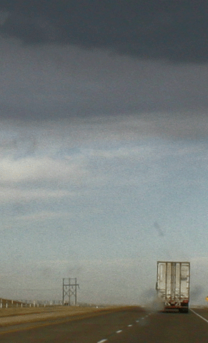
Animation of condensation funnel crossing I-40 (facing east)
I wasn't ready with either camera, so this 5 animation is a pretty crummy attempt to show the feature drifting across the highway. (What this doesn't show is the churning action going on--pretty much like a remnant section of a rope-out.)
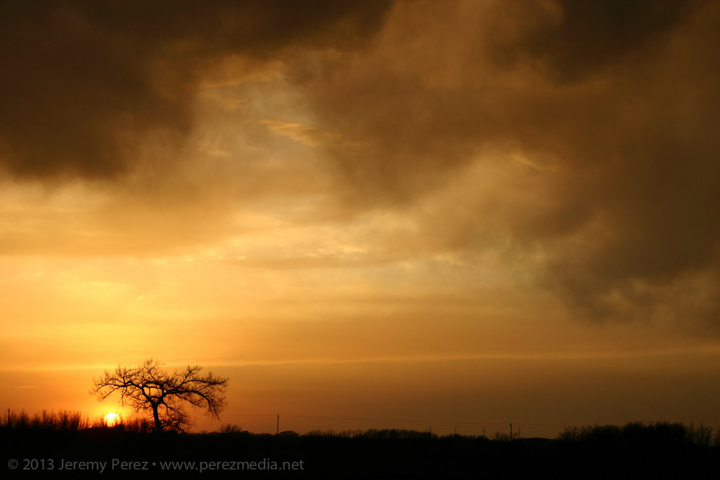
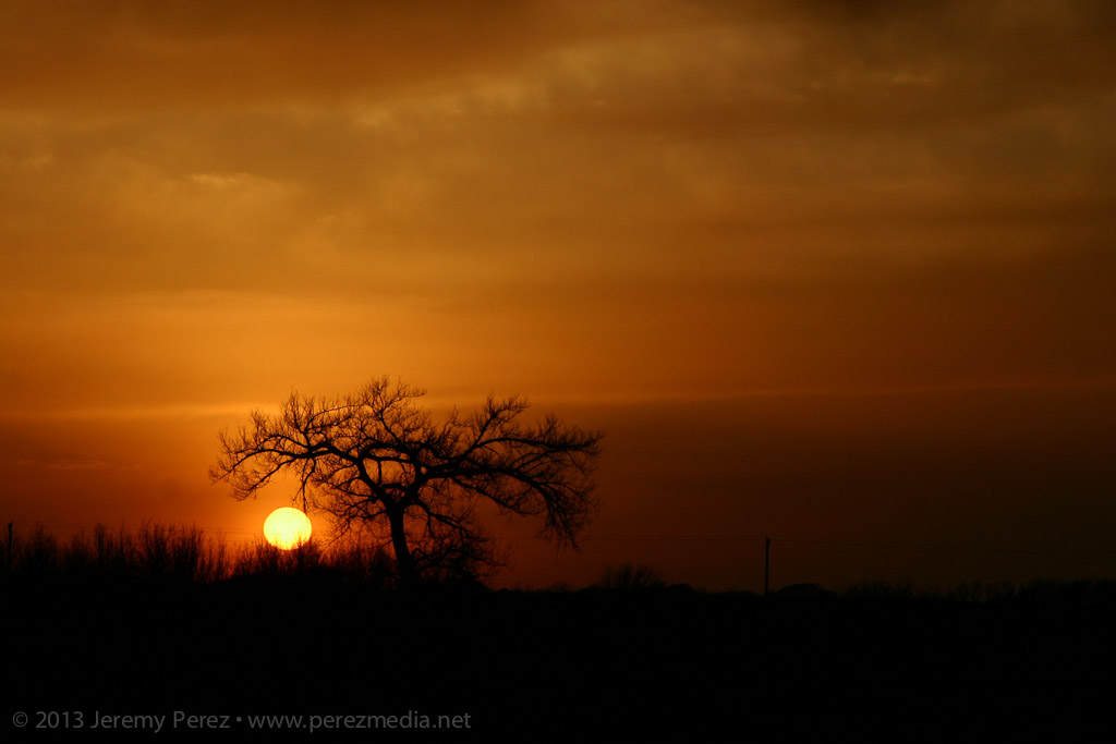
Apart from that, the dwindling convection led to some nice sunset views.
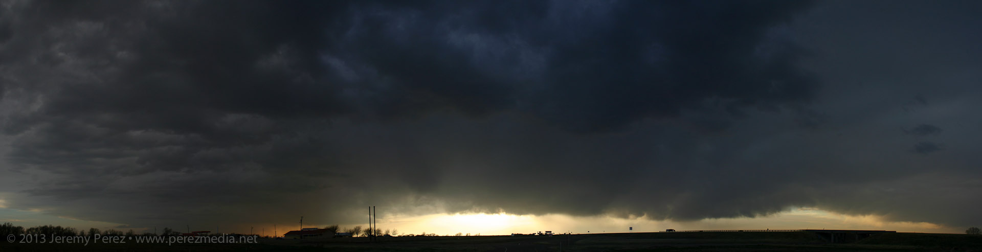
Backlit panorama of the dissipating QLCS