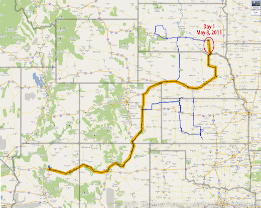
I got on the road Saturday afternoon, left Flagstaff, drove most of the night, and made it to eastern Nebraska by Sunday late afternoon.
I'll try to do a more detailed summary later with more photos. (I'm extremely worn out.)
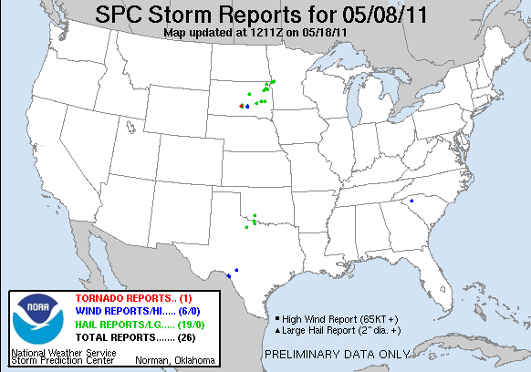
After checking models and spc discussion each time I stopped to fuel up, I decided I would head to the warm front. Unfortunately, eastern Nebraska turned out to be a wasteland of uncooperative cloud streets. The cap wasn't budging there at all. I figured I was going to have a complete bust on my first day out. But then inhibition started to part in South Dakota, a few storms started to blossom. Most were too far to consider, but a small, fresh one was within reach, so I raced north. As I got closer, I realized the cap had clamped down and nothing was left but an orphan anvil.
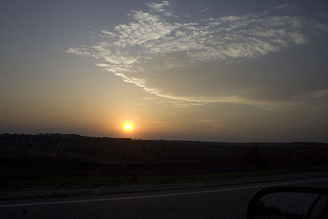
I kept going north, just in case, and was suprised by a view of a new tower going up on the other side of the Missouri river, half-lit by the coppery light of the setting sun.
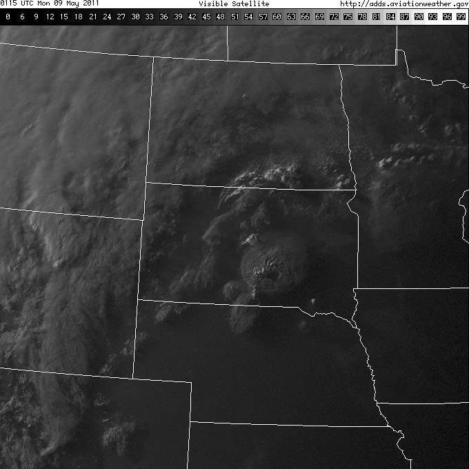
Satellite view showing my target storm as a bright blip in the far south-southeast corner of South Dakota. (Note the only tornado-producing cell in the south-central part of the state--too far out of reach.)
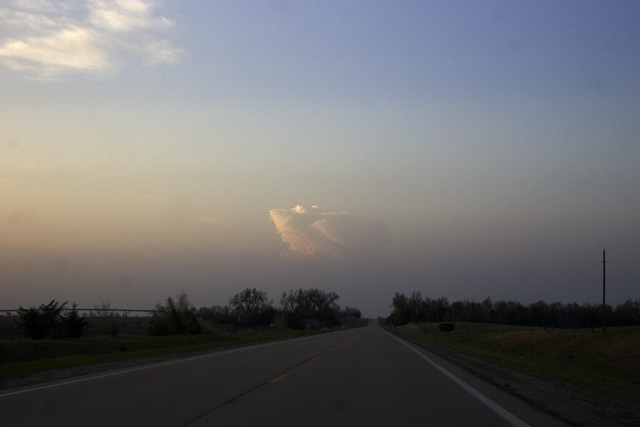
The new tower was farther north than I thought, and was moving north at about 25 knots. I decided not to keep chasing it in the dark, so I broke off, satisfied to see it sputter with lightning as it drifted away. At least I got a distant storm and some lightning for day 1.
I fueled up again and did some supply shopping. Afterward, as I drove to a section of gravel roads south of Mitchell, SD to park for the night, I was overwhelmed by nonstop lightning behind me. I pulled over to figure out where it was coming from. Sprawled out to my west was a huge, sculpted shelf cloud, gaping with rain, wind and lightning--and it was visibly expanding in my direction. I didn't want to get the car golf-balled, so I raced down the dirt roads, going after a good north-south paved road. Along the way, I made some brief stops to photograph this majestic thing.
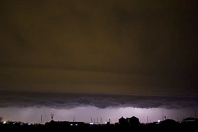
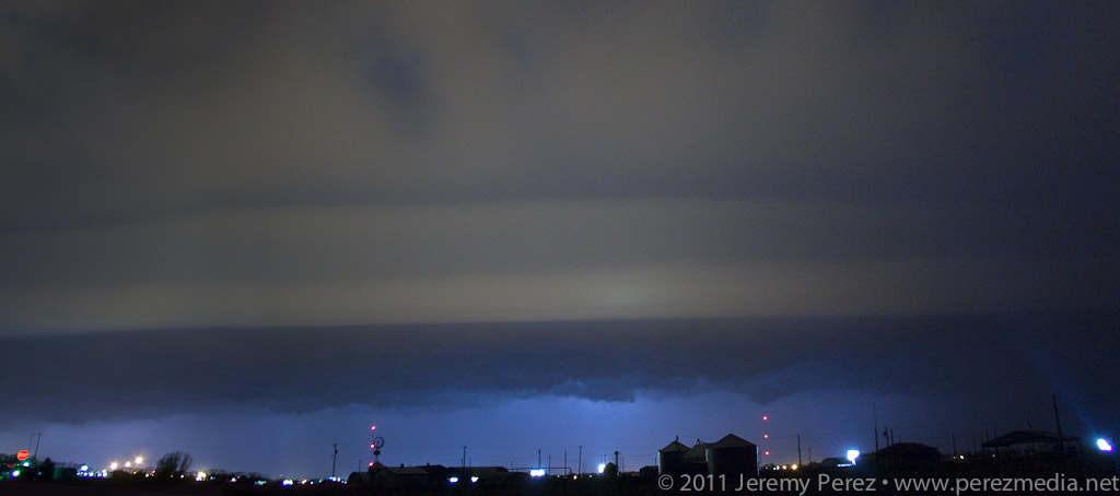
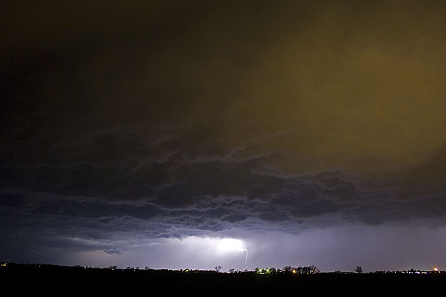
At one stop alongside a small lake, the sound of katydids, frogs and other nocturnal creatures blended in with the non-stop thunder of the approaching storm. It was wonderful. As I continued south and east, I realized the entire gust front was going to chase me into Missouri if I let it. So I hunkered down in a farm field access and embraced the drenching rain and unceasing lightning. It was an amazing way to end the day.
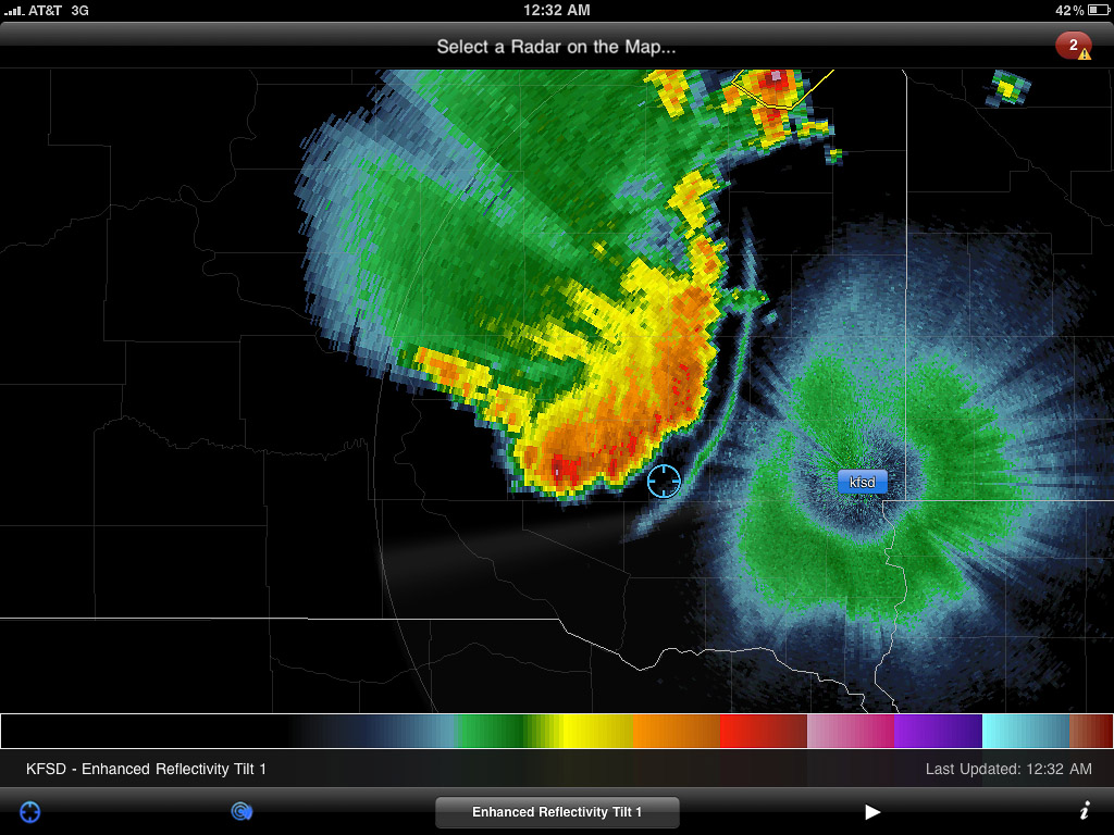
Radar showing my position with the approaching gust front.
Lessons Learned
- Argh. Just play closer to the triple point--don't get creative with points further out along the warm front.
- The cap likes to be stronger further south.
- A shorter focal length lens would be nice for capturing massive gust fronts and shelf clouds.
- After night fall, shut off the car, get outside and enjoy the sights and sounds of lightning, thunder, and wildlife.
Day 1 - MAY 8, 2011 - Night Storms in South Dakota
Day 2 - MAY 9, 2011 - Anticipating Initiation in South Dakota
