This was an incredible day for a lot of chasers who targeted eastern Colorado. If you don't already know, just run a Google image search for "Simla Colorado Tornado" and bask in the amazement. My morning forecast perusal had dabbed a target option in the Simla vicinity as an 'Upslope Magic' option. I opted for a Kansas triple point target near Oakley instead.
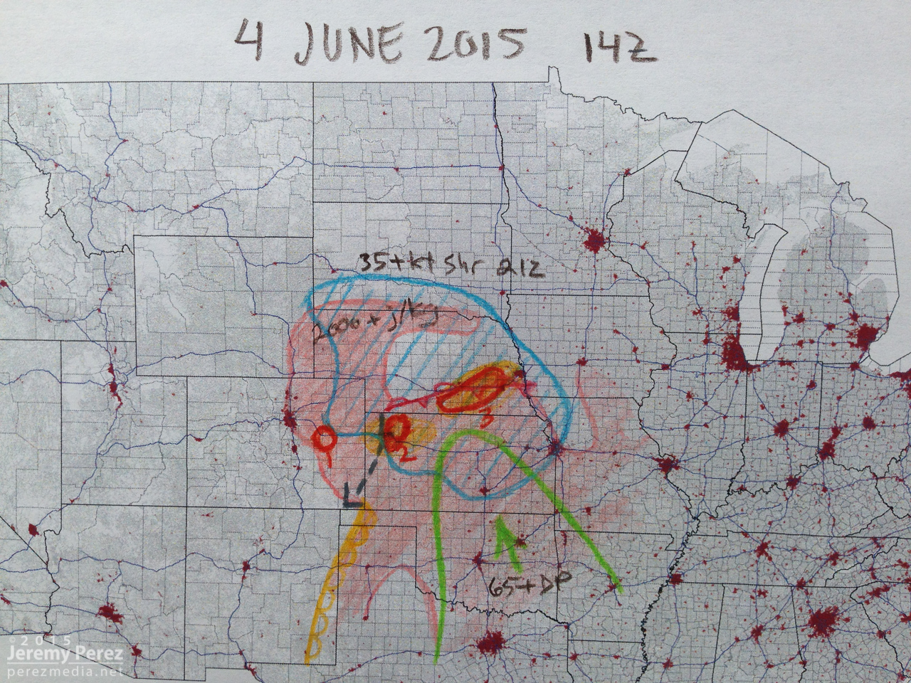
The morning forecast analysis
We eventually drifted even further east near Zurich where better parameters seemed to be evolving. It wound up being a long wait. This part of Kansas was strikingly beautiful and begged for some photos while we waited for the cap to break along the warm front.
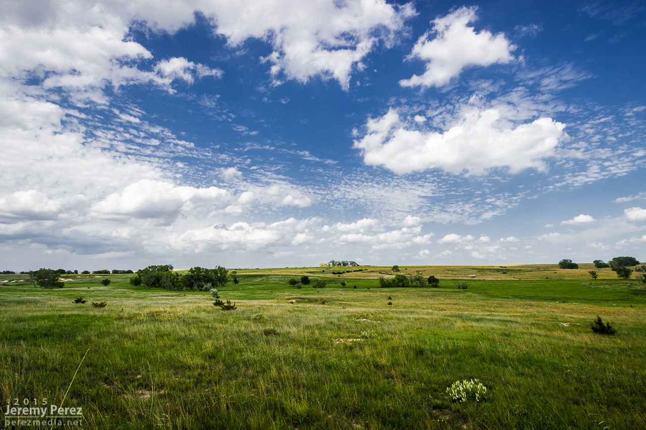
Kansas countryside near Zurich || 2115Z
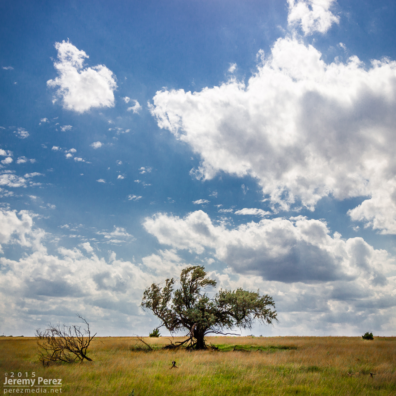
Lone tree and capped sky at Zurich || 2120Z
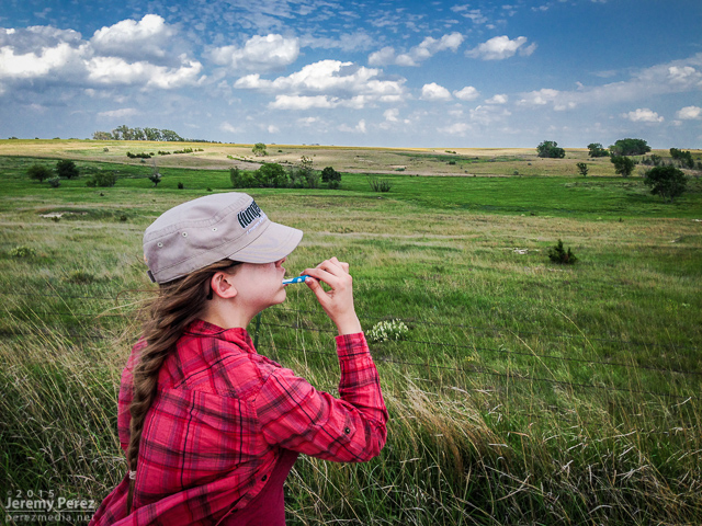
Freshening up with a view
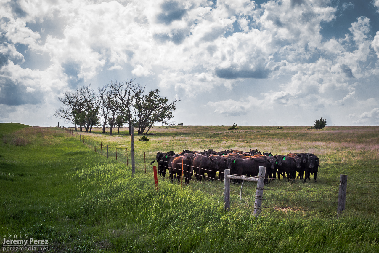
Loitering cattle that can't get any further southeast || 2140Z
After more waiting and hoping, and getting hints of amazing things happening in Colorado, we made our way to Stockton. I was really worried the cap was going to win and we were going to wind up with a complete bust. However, as convection started to fire in western Kansas, thin bubbles of cumulus finally started trying to hold their own in our area around 8:30 PM.
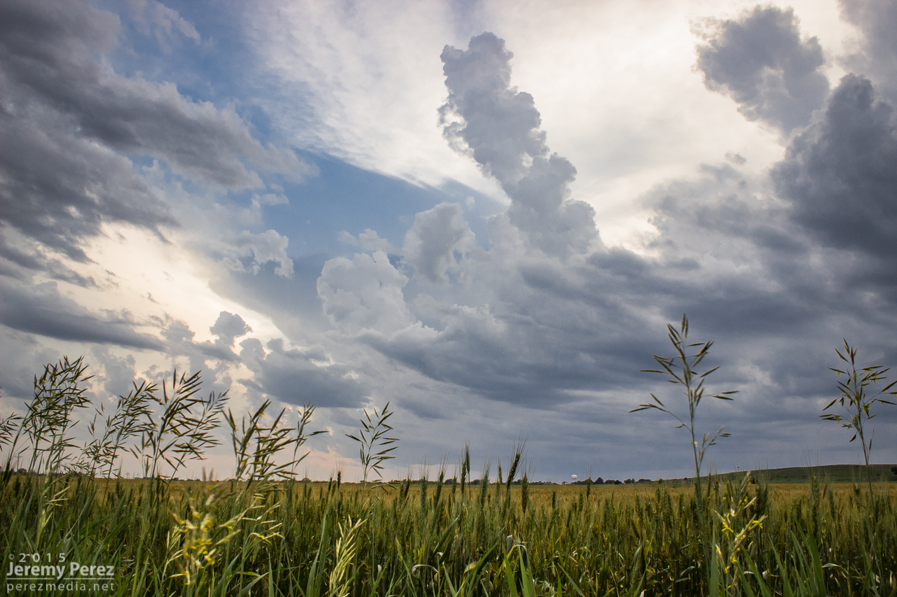
Thin streamers of cumulus finally taking a jab at the cap || 0130Z
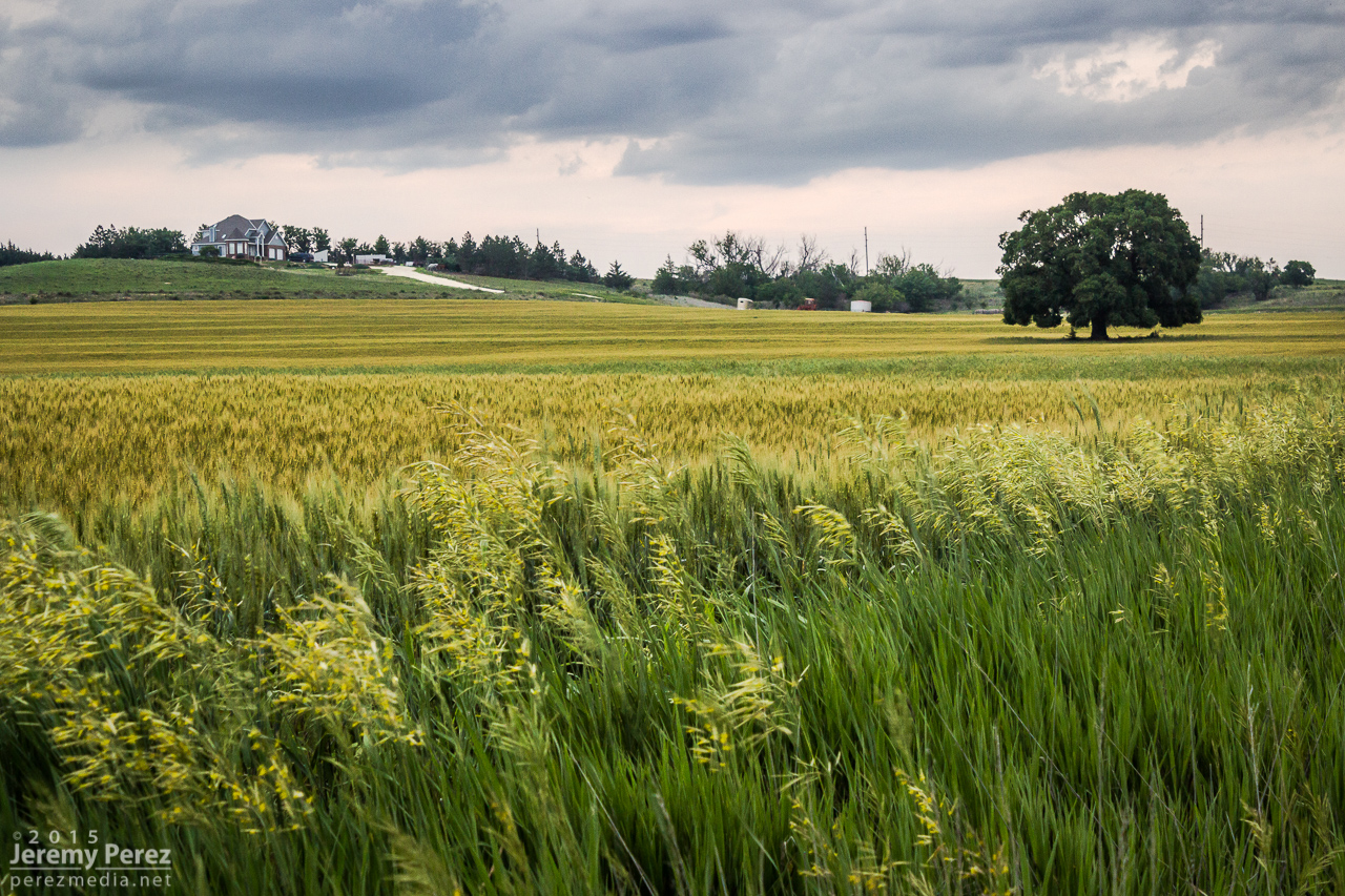
Stockton homeowners about to get a great light show in a couple hours || 0130Z
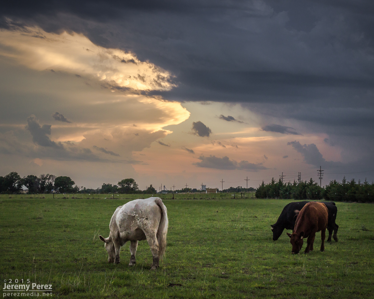
More cattle not worried about building storms and anvils || 0140Z
We moved back west to view a storm that quickly blew up north of Nicodemus. We stayed on this awesome, nearly stationary lightning producer while grabbing time lapse footage. A nicely lowered base swung into view to our north and lightning told a staccato tale of scuddy, ground-scraping wonders beneath.
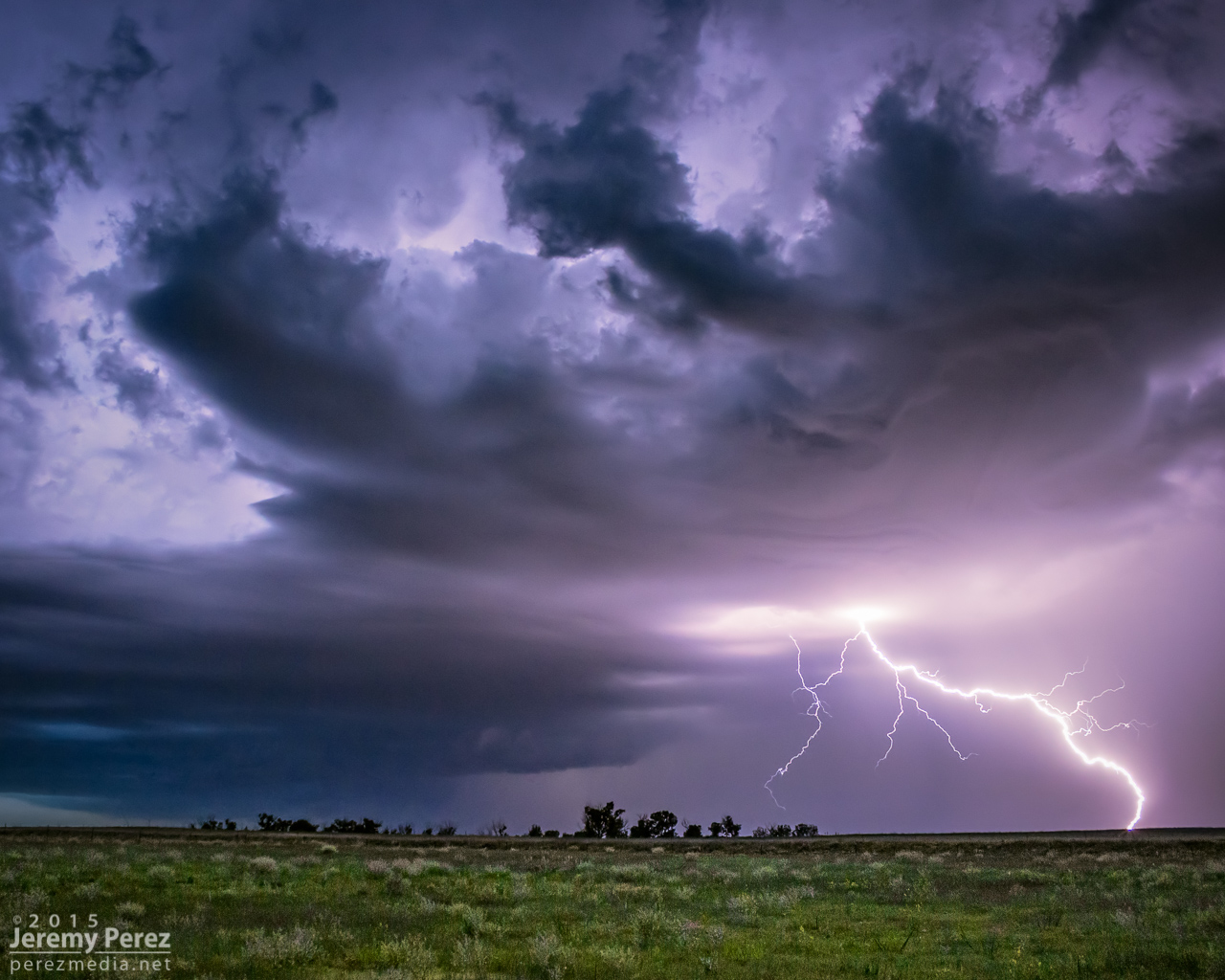
Lightning strike beneath an active supercell north of Nicodemus || 0235Z
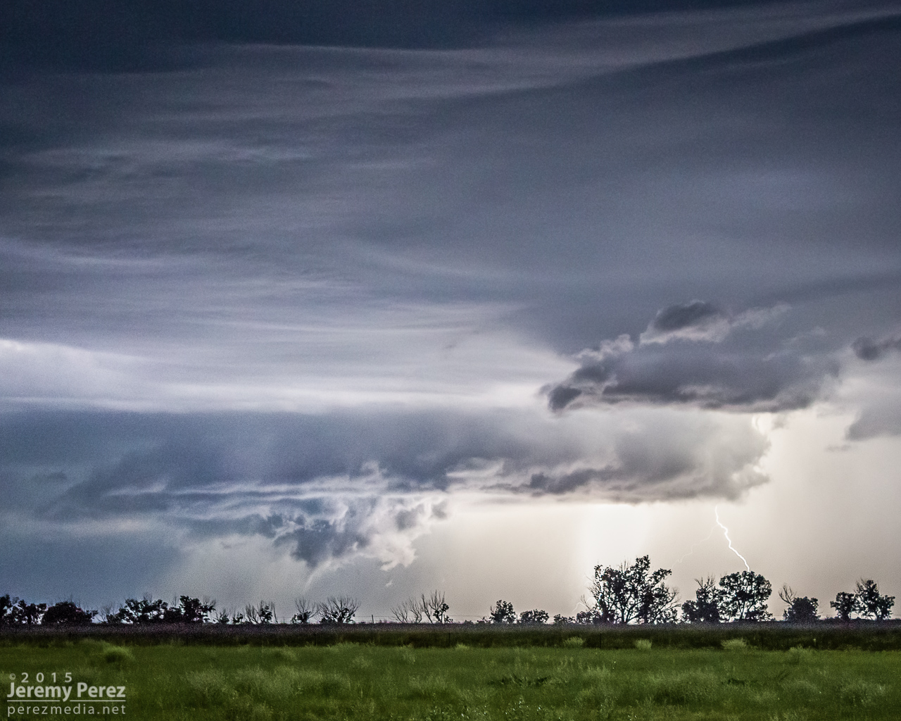
Scary scud & who-knows-what beneath the Nicodemus supercell || 0302Z
A storm further west near Seldon wound up with a tornado warning around this time. We stuck with our storm though because I figured it had as good a chance of doing the same, and it was in a lot better road position for an after dark chase. Despite tantalizing goings-on beneath the updraft, our cell never went beyond a severe warning.
After our Nicodemus storm seemed spent, we slowly made our way westward. I wanted to get back to Limon for the night, but storms were stalking our path back and I didn't want to risk hail cores or worse after dark. So we waited them out and shot a bit more lightning photography.
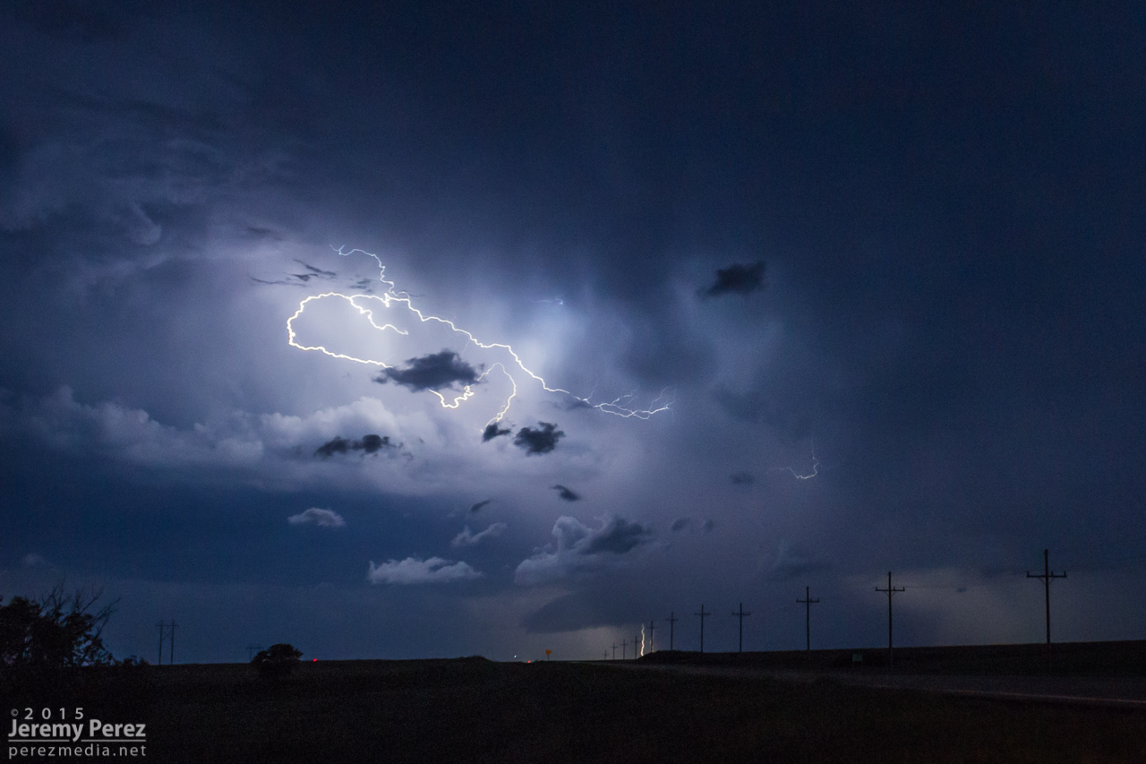
Roll cloud/shelf cloud and lightning lurking over our way to Limon || 0340Z
We made it to our Limon hotel around 2AM just in time for a cell to go tornado-warned to our west as it headed straight for town. So we got back in the car, tired and cranky, and headed south of town to let the storm move through.
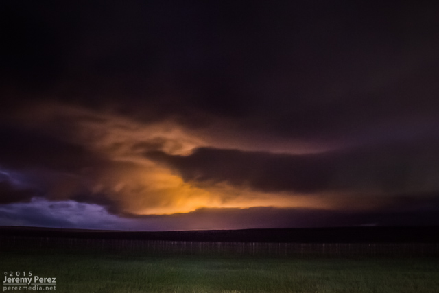
Tornado-warned cell approaching Limon || 0653Z
