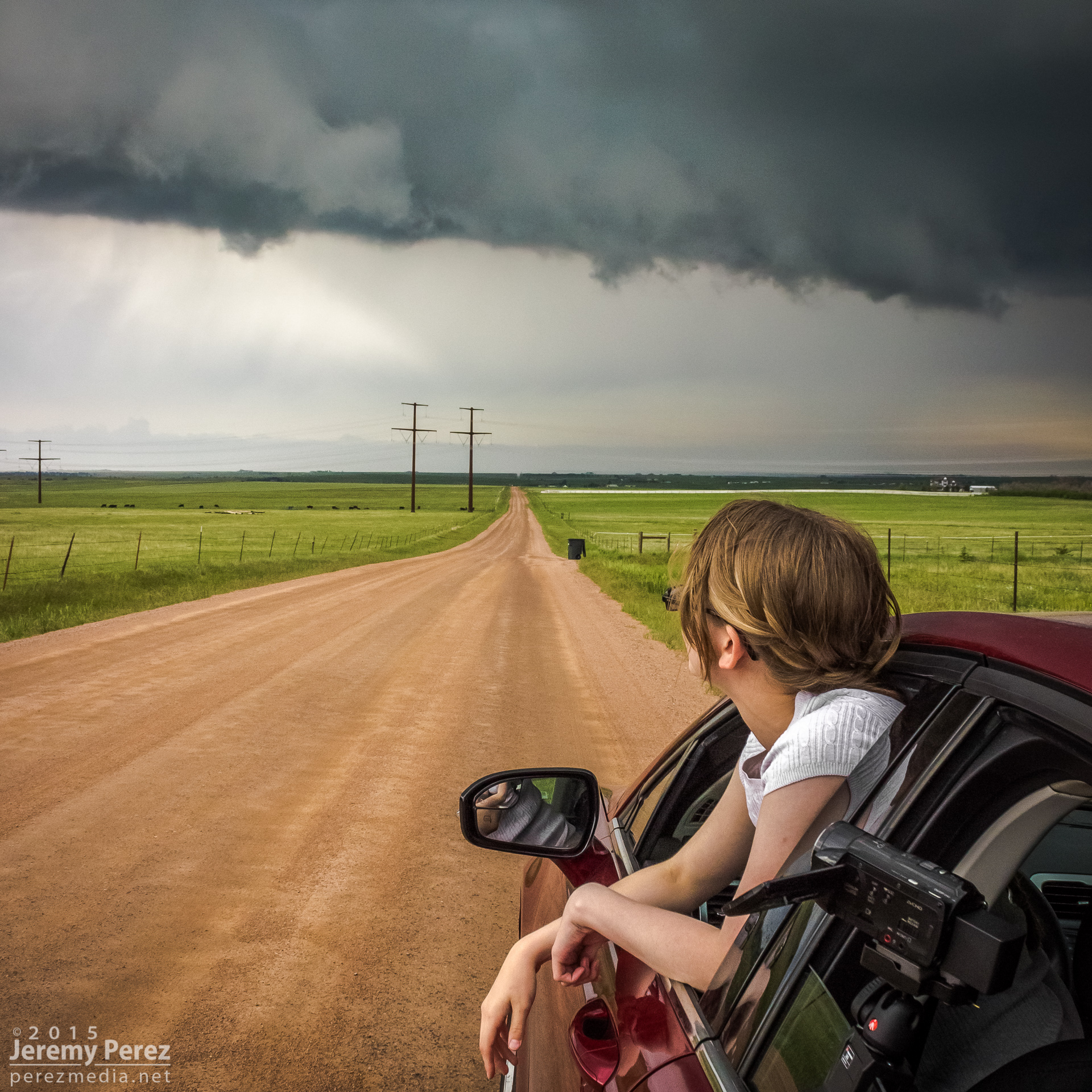
This was the first day of a five-day chase on the high plains with my daughter. After overnighting in the car near the New Mexico-Colorado border on I-20, we made our way up to Castle Rock and watched for initiation along the front range. Before long, a worthy tower went up to our southwest and got sheared into an impressively long escalator of cumulus.
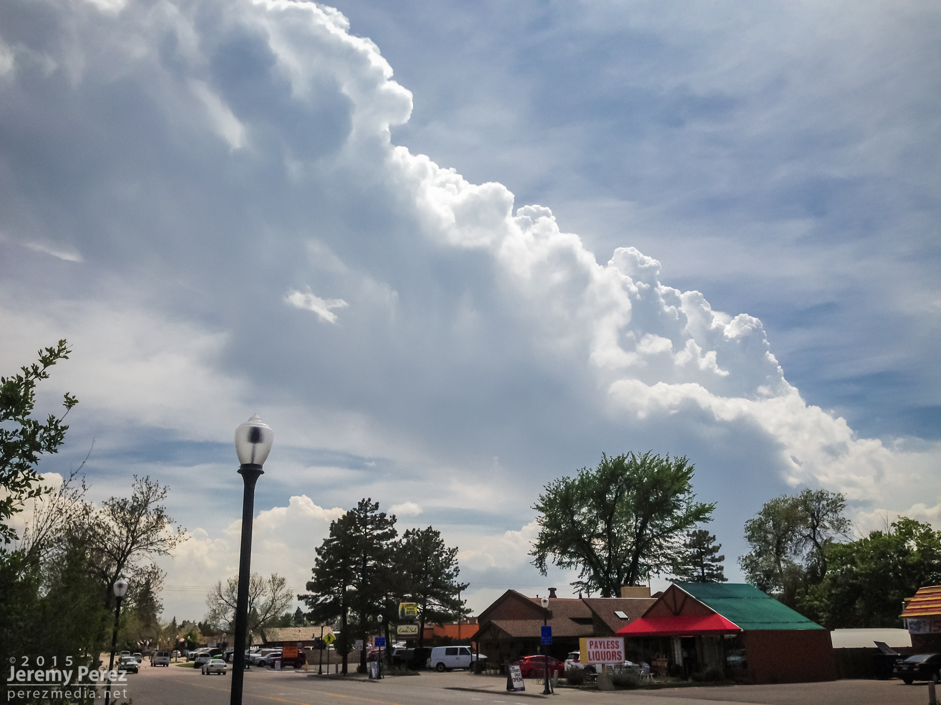
Convection southwest of Castle Rock || 2030 UT
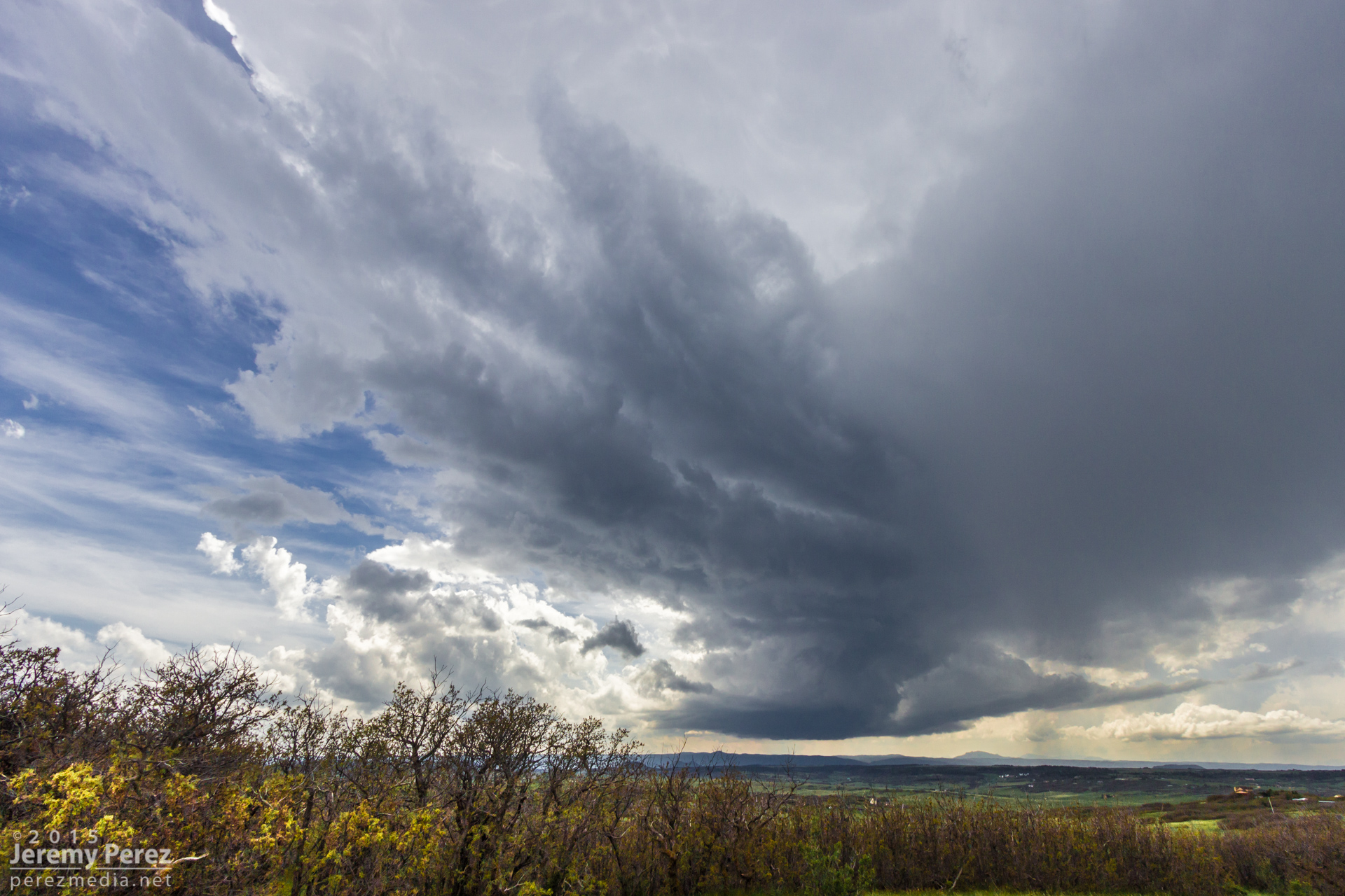
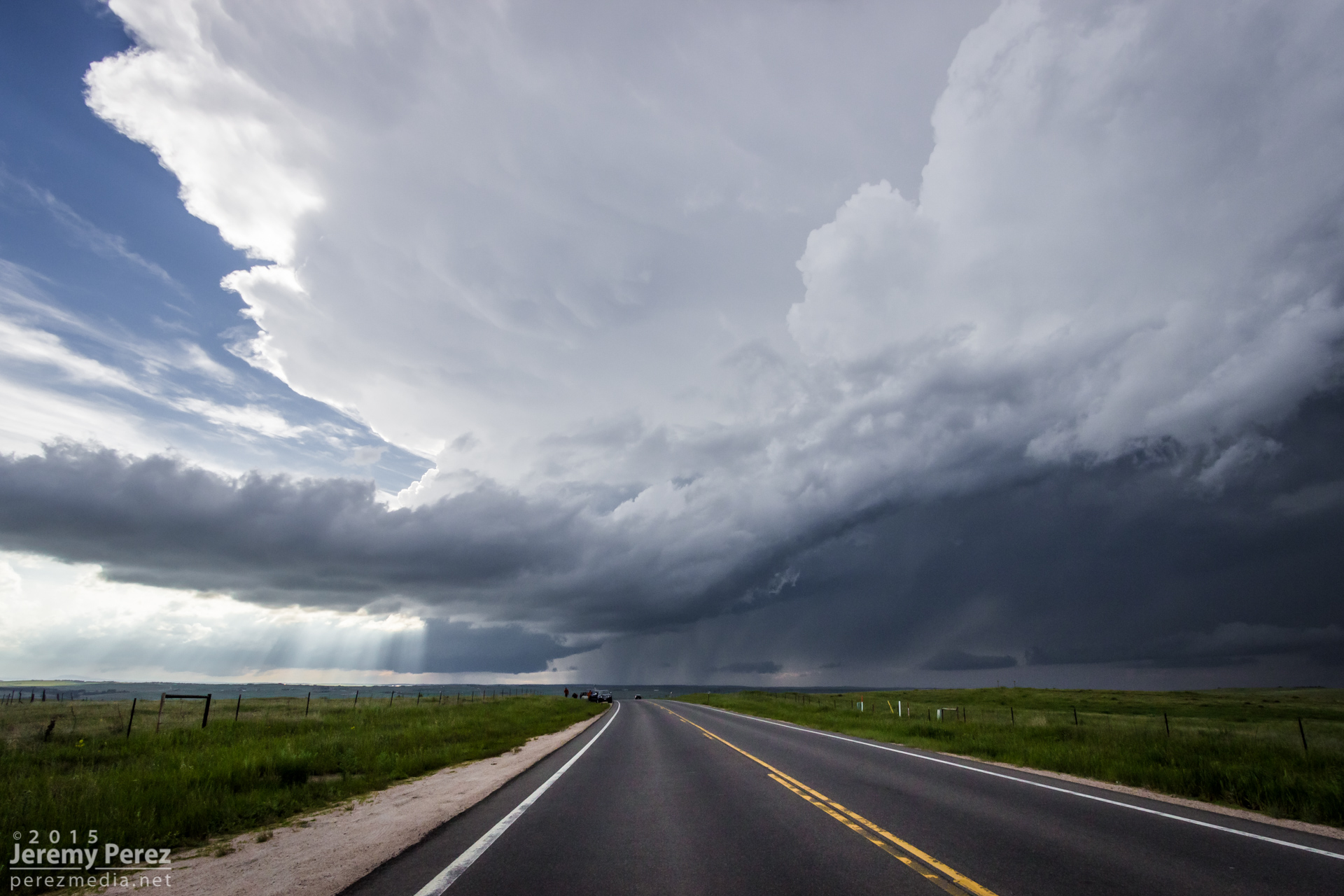
We repositioned further southeast to the east side of Lake Gulch to get in front of it and watch it develop. Before long, we had a beautifully sculpted supercell over the gorgeous Colorado landscape. This is such an incredible place to watch a storm evolve.
Supercell over Perry Park || 2115 UT
Supercell over Perry Park || 2130 UT
Supercell over Castle Rock || 2155 UT
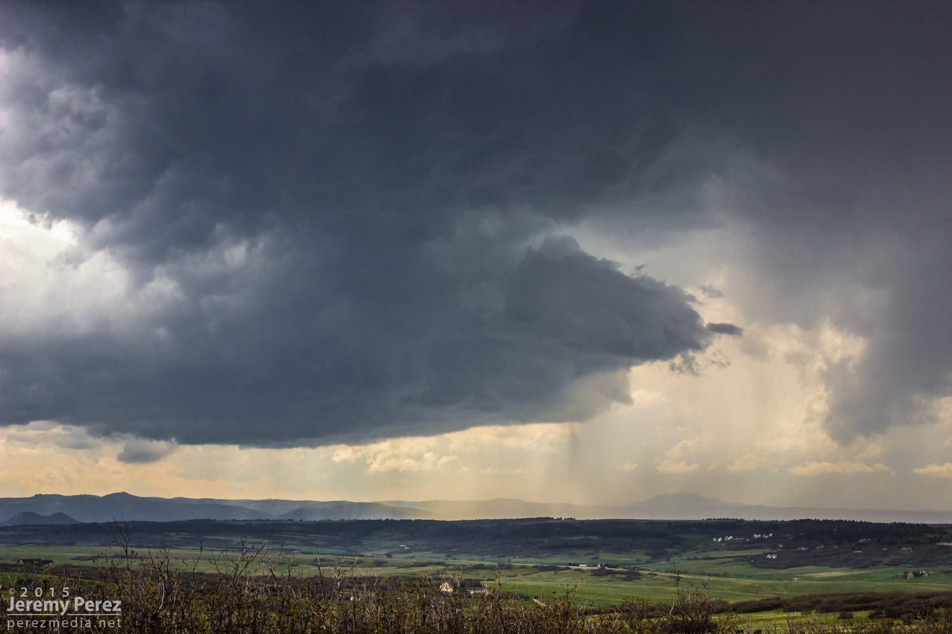
Supercell over Castle Rock || 2210 UT
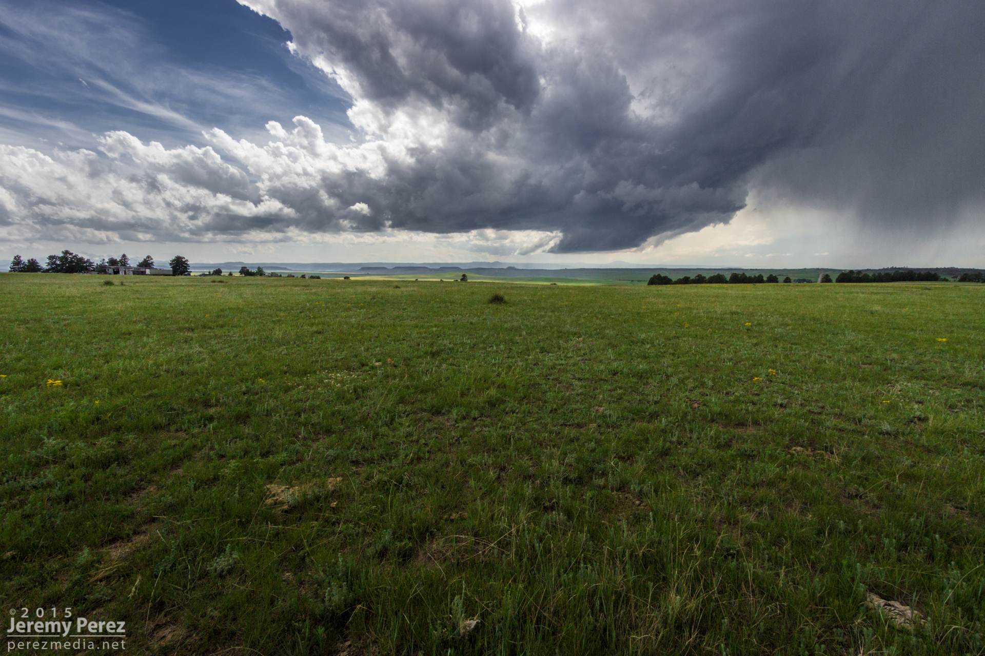
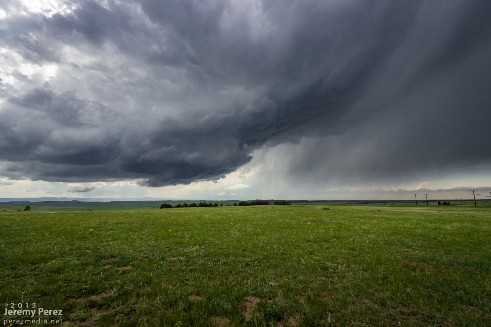
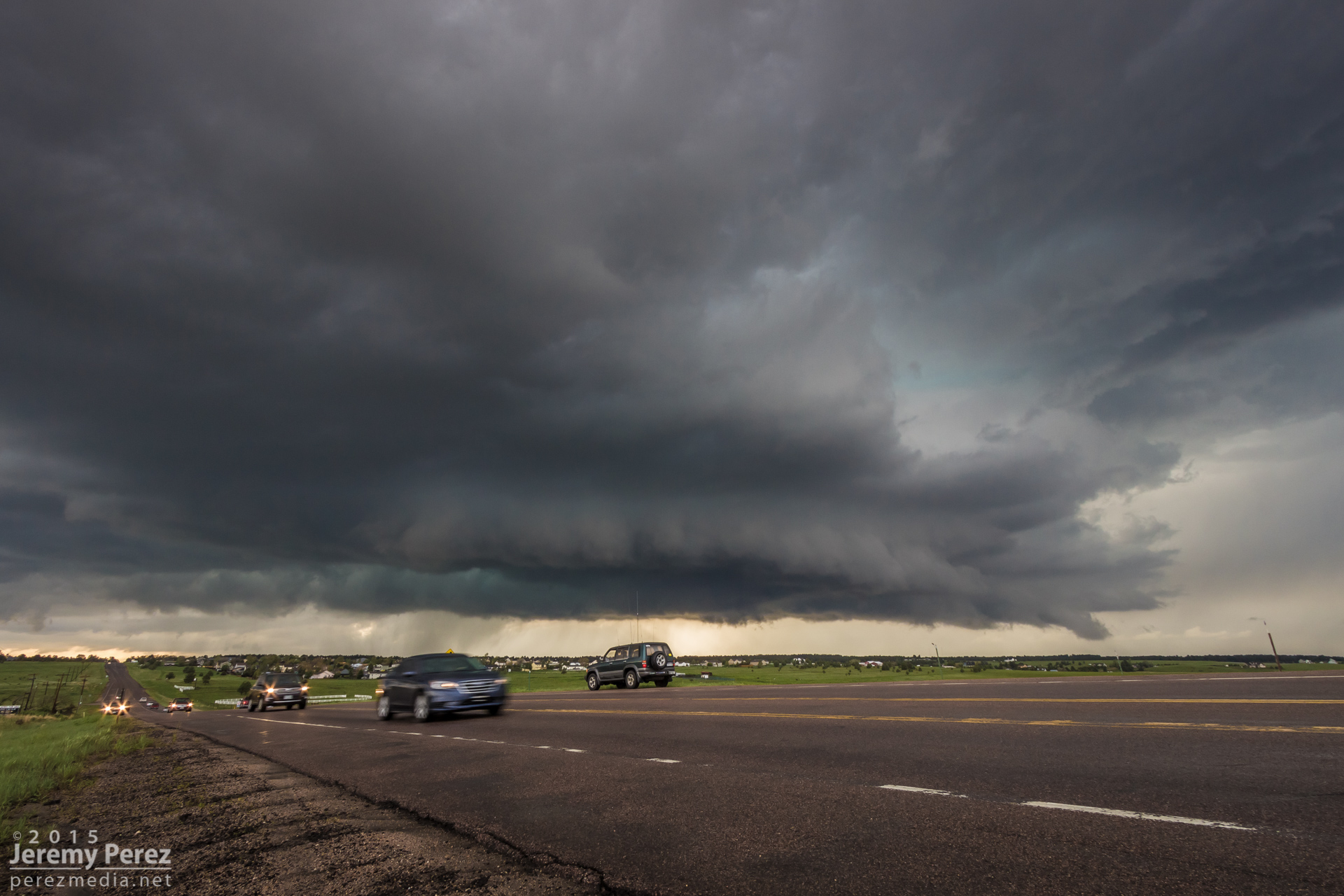
Gust front moving to our north from southwest of Elizabeth || 2255 UT
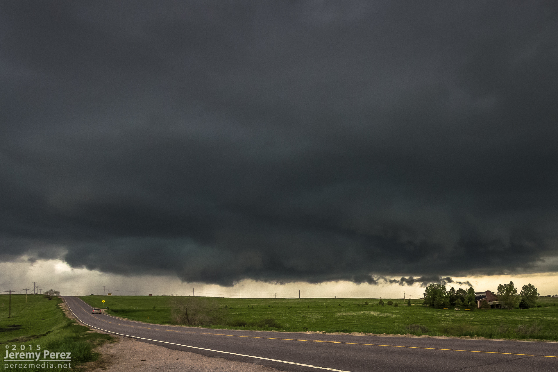
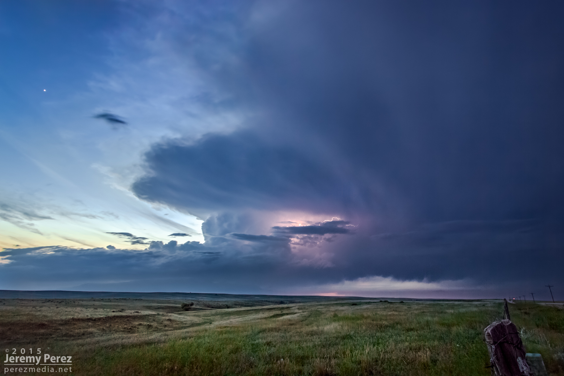
We eventually found ourselves east of Kiowa on Highway 86 as the storm grew more linear and started to wither away.
Old and new cells along Rt 86, east of Kiowa || 0005 UT
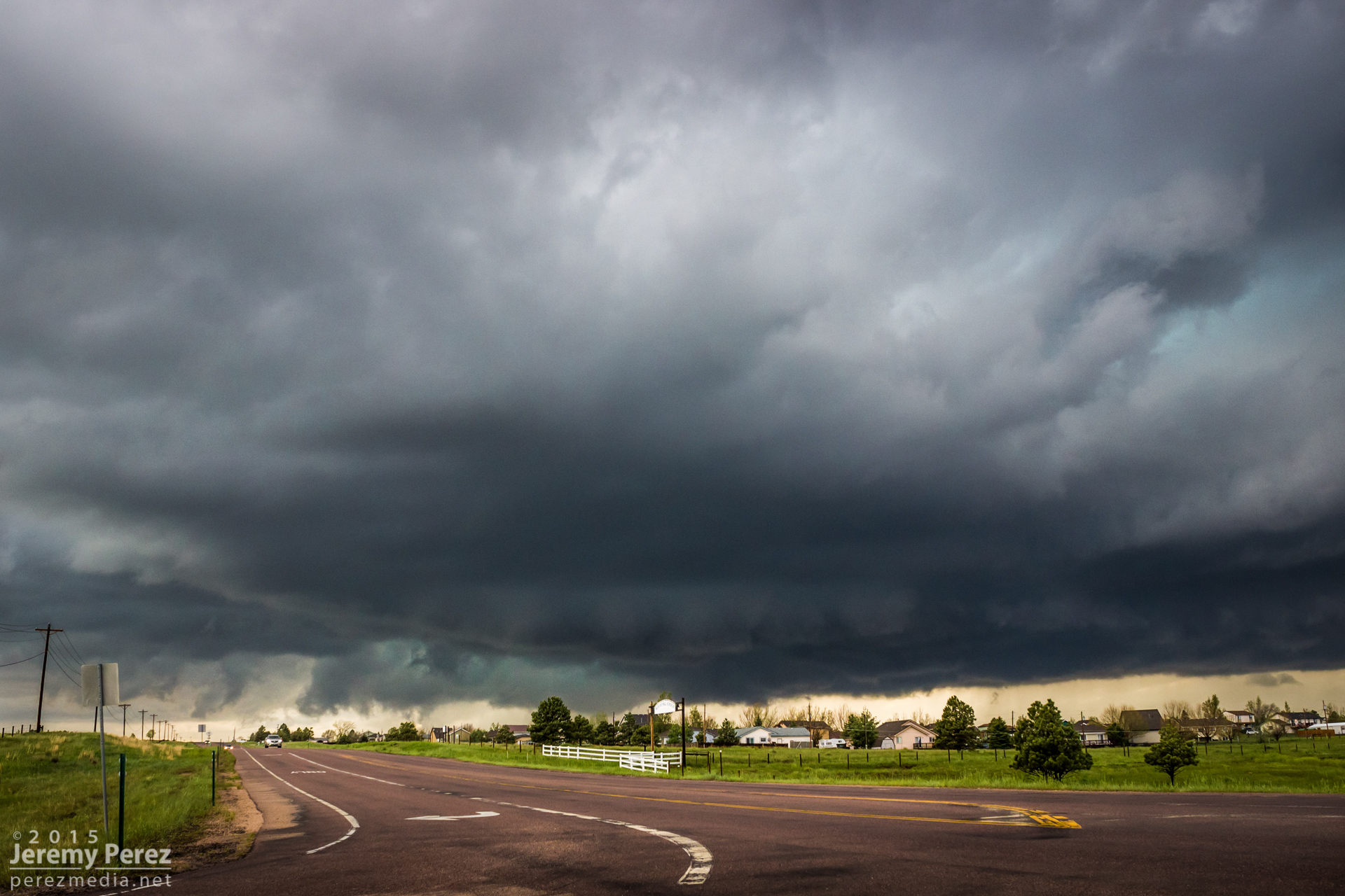
New supercell churning over Elizabeth || 0023 UT
New supercell churning over Elizabeth || 0025 UT
New supercell churning over Elizabeth || 0040 UT
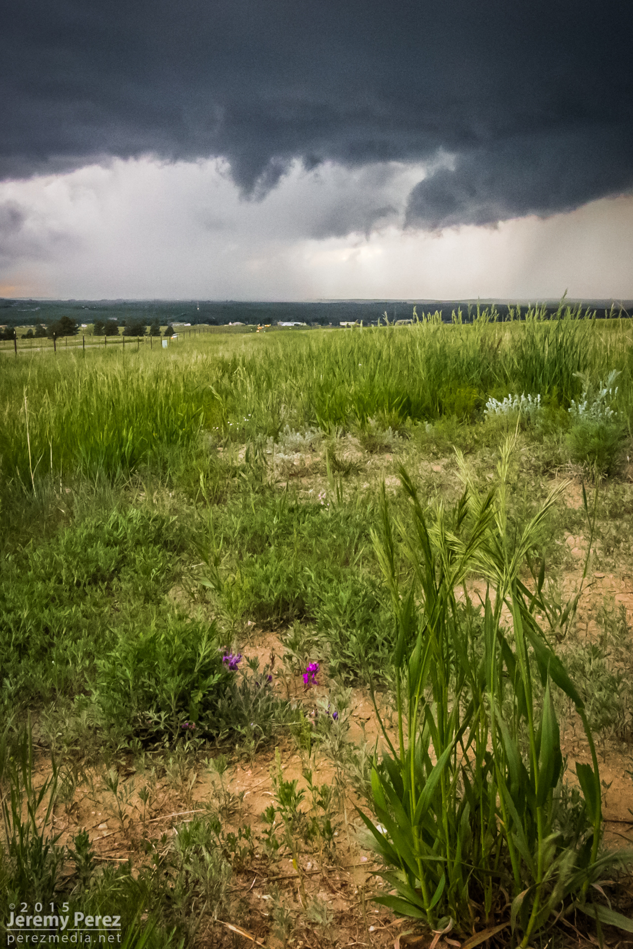
Wildflowers and messy RFD core east of Kiowa || 0050 UT
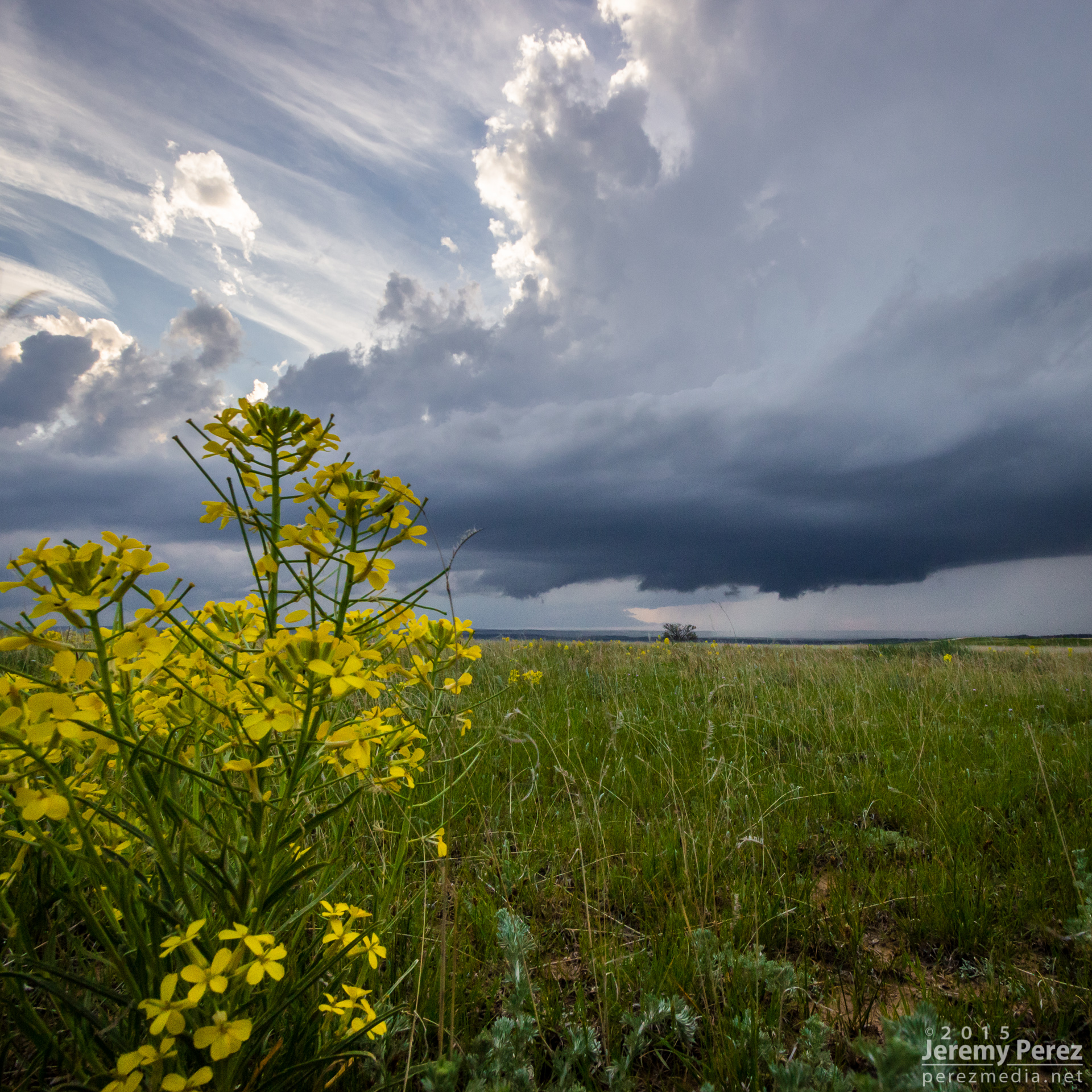
Wildflower and departing supercell near Spring Gulch || 0140 UT
Twilight view of a departing supercell from Wilson Creek || 0300 UT
