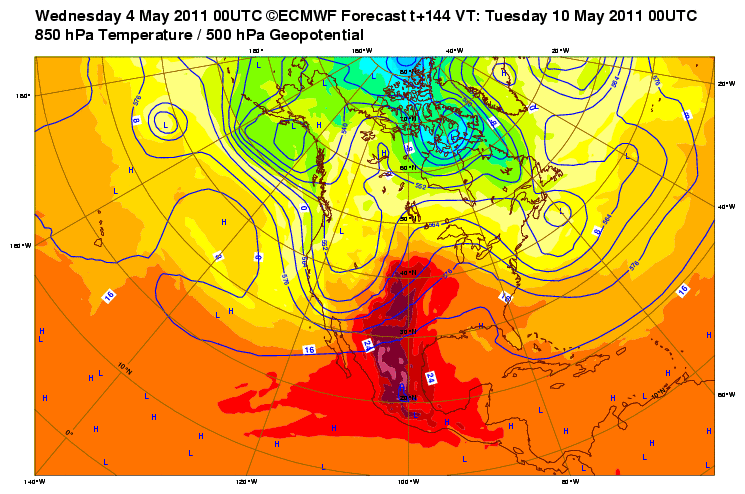
An active and horrific weather pattern laid siege to much of the eastern US this past April, while the bulk of the central plains remained untouched. May is here now, and it looks like the first round of activity for the plains is shaping up for early next week. Models are generally showing that an upper low will dig in across the western US while low level moisture surges northward across the plains and the midwest. At 4-6 days out, position of upper level support relative to surface boundaries and moisture is difficult to pin down, but severe weather seems likely at points across the plains during this period.
I'm planning to pack up and head east on I-40 Saturday afternoon or Sunday morning, depending on whether conditions Sunday afternoon look favorable for severe storms along the dryline. From there, we'll see how things shape up from Texas through Nebraska. I'm not sure that I want to get drawn as far northeast as Iowa, but if the setup looks really good...
